Tallulah Gorge State Park covers 2,689 acres of rugged beauty. Over thousands of years, nature carved steep cliffs that drop 1,000 feet into a fast-moving river. It’s one of the most scenic spots in Georgia. During a recent road trip, we stopped our RV here to explore Tallulah Gorge State Park. From tackled tough trails that cut through the woods to crossing the swinging suspension bridge that hangs above the canyon, this park is amazing. We also enjoyed the sight of waterfalls crashing down rugged rocks. Whether you want tough hikes or relaxing nights under the stars, this park is a must-visit. It’s a perfect mix of adventure and peace in North Georgia.
This post may contain affiliate links, meaning if you purchase something through one of these links, we may earn a small commission at no extra cost to you! Read the full disclosure policy here.
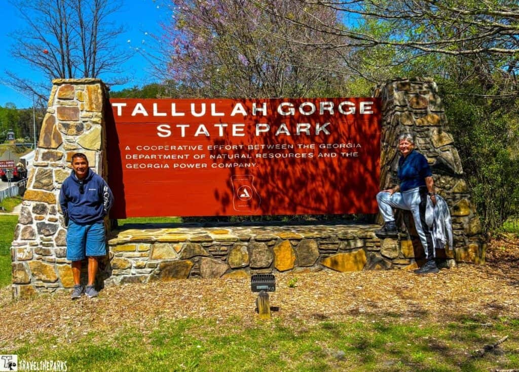
As part of our Georgia road trip, we rolled into Tallulah Gorge State Park with high expectations—and this North Georgia wonder exceeded every one of them. With dramatic canyon views, waterfalls, suspension bridges, and challenging hikes, this park offers a true outdoor escape. Plus, the RV-friendly campground made it easy to spend the night and wake up surrounded by natural beauty.
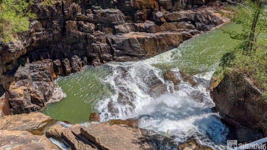
Table of Contents
How to get to Tallulah Gorge State Park
Tallulah Falls, GA, is about 2 hours northeast of Atlanta.
By Car (Most Common Option)
- From Atlanta (~2 hours): Take I-85 N → US-23 N/US-441 N toward Tallulah Falls.
- From Asheville (~2 hours): Take I-26 E → US-25 S → US-64 E to GA-15 S.
- From Greenville (~1.5 hours): Take US-123 N → SC-11 N → US-76 W into Georgia
By Air
The closest major airport is Hartsfield-Jackson Atlanta International Airport (ATL). From ATL, you can rent a car and drive approximately 1.5 to 2 hours north to reach the park. Smaller regional airports like Athens-Ben Epps Airport (AHN) or Asheville Regional Airport (AVL) are also options, though rental car availability may be more limited. Since the park is inaccessible by public transport, you must have a car.
Need to Know Before You Go Tallulah Gorge State Park
- Location: 338 Jane Hurt Yarn Drive, Tallulah Falls, GA 30573 (2 hours northeast of Atlanta).
- Park Hours: 7 AM–10 PM daily (gorge floor access limited to the first 100 permits/day).
- Entrance Fee: Parking Fee: $5 daily (or use a Georgia State Parks pass)
- Pet-Friendly: Leashed pets allowed on rim trails only—not on the gorge floor or suspension bridge.
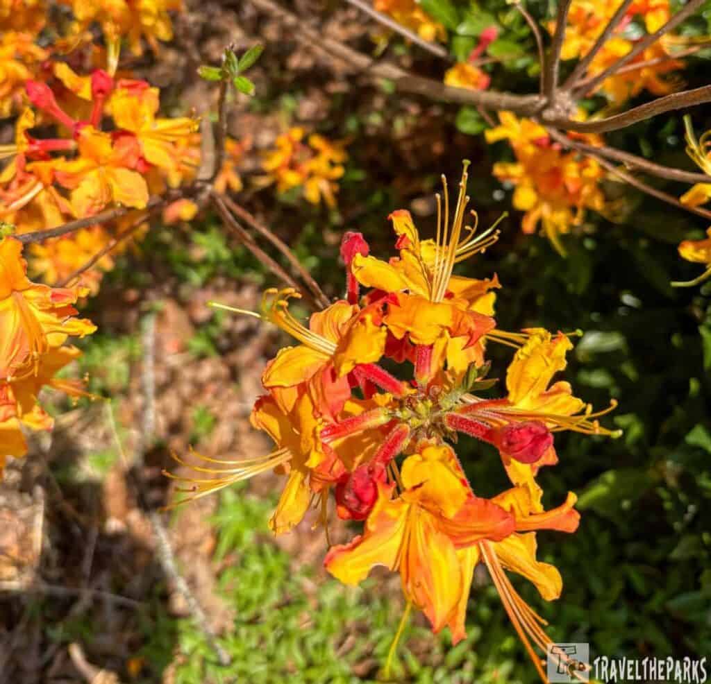
- Best Time to Visit: Spring for wildflowers/waterfall flow; fall for foliage. Avoid summer crowds.
- Cell Service: limited in the gorge—download trail maps in advance.
- Gorge Floor Permit: ($5) required for those hiking into the gorge (limited to 100 per day–get there early!)
- Camping: Reservations: Book early on GeorgiaStateParks.org—gorge permits sell out by 9 AM! Book early.
Top Things to Do at Tallulah Gorge State Park
- Hike the Gorge Floor (Permit Required!) Secure one of 100 daily permits to descend into the canyon via the Sliding Rock Trail. Navigate steep stairs, boulders, and the rocky riverbed—sturdy shoes and stamina are a must!
- Visit the Jane Hurt Yarn Interpretive Center: learn about the gorge’s ecology, history, and Indigenous Cherokee roots through interactive exhibits. It has educational exhibits about the canyon’s geology, history, and ecology—including info about early tourism, hydroelectric projects, and the park’s unique flora and fauna.
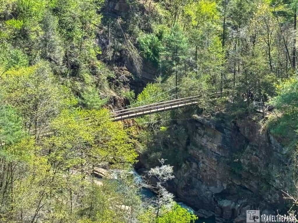
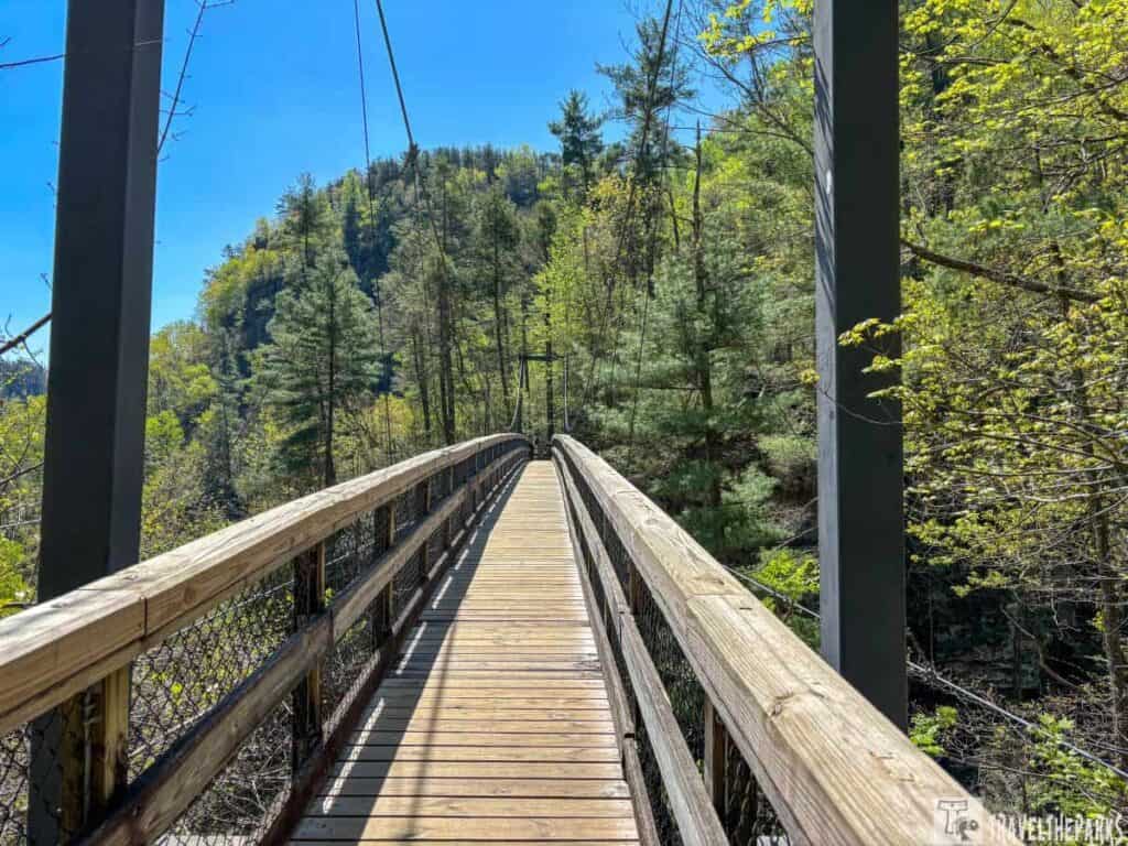
- Cross the Suspension Bridge: Walk 80 feet above the river on the park’s iconic bridge for dizzying views of Hurricane Falls and the canyon’s ancient rock walls.
- Time Your Visit with Dam Releases: Catch whitewater thrills during scheduled dam releases (April–November) when the Tallulah River transforms into Class IV-V rapids.
- Mountain Biking & Picnicking: The Stoneplace Trail is open to mountain bikers and advanced hikers looking for a backcountry workout. There are also plenty of shady picnic spots near the interpretive center, perfect for a break between hikes.
Jane Hurt Yarn Interpretive Center: Discover North Georgia’s Wild Side
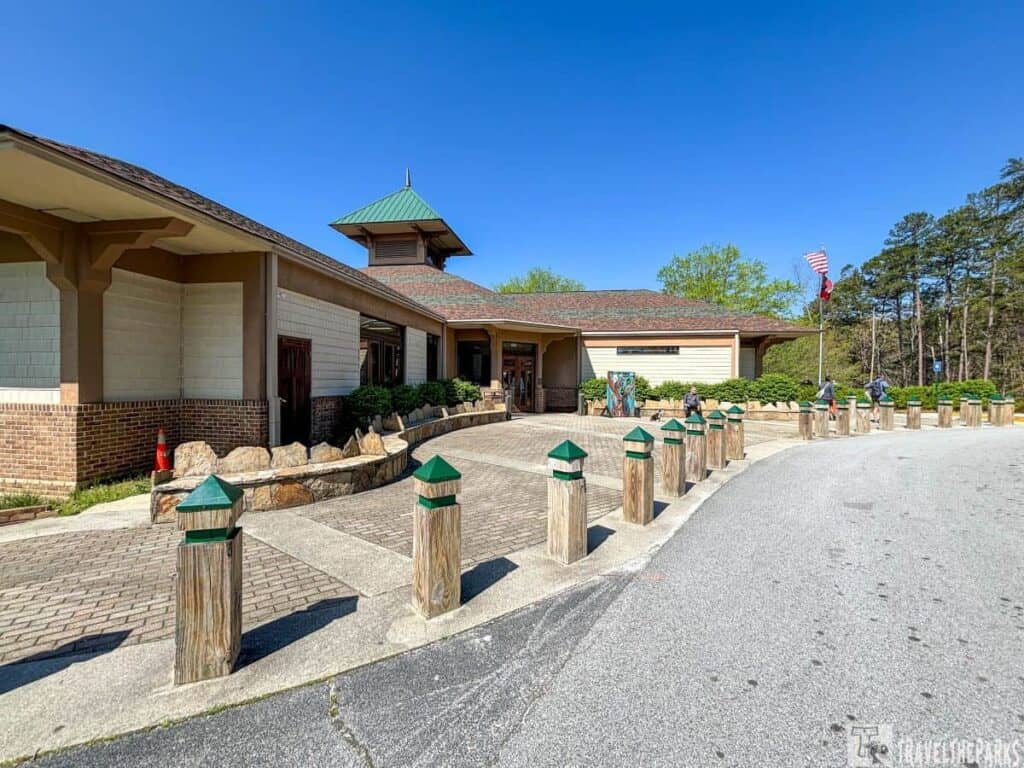
This small but fascinating museum delves into the region’s wildlife, geology, and cultural history, perfect for getting your park experience started or rainy-day adventures. This visitor center has a large gift shop, ranger information desk and two full floors of engaging, hands-on exhibits.
To understand the park’s origins, explore how the mighty Tallulah River carved the dramatic gorge over millions of years, creating one of Georgia’s most awe-inspiring natural landmarks. Powerful water erosion sculpted the canyon’s distinctive layers of quartzite and schist. The 2-mile-long, 1,000-foot-deep chasm is a geological mecca.
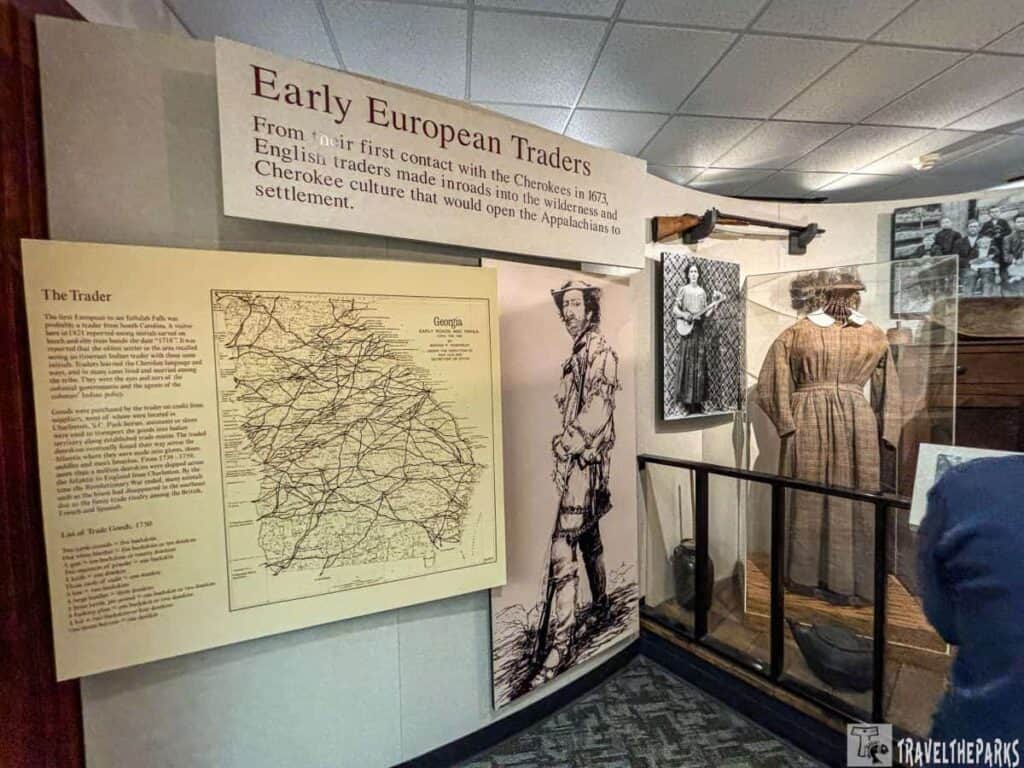
The story of Tallulah Gorge begins long before modern visitors arrived. A Walk through Time begins with the Cherokee Era (Pre-1820s). The gorge was home to the Cherokee people, who held the gorge in spiritual regard, calling it “Ugunyi.” The first European settlers came in 1820. This marked the beginning of dramatic changes in the area. First was the displacement of the Cherokee.
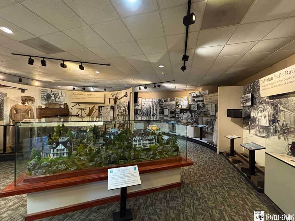
The Tourist Boom (1880s-1910s)
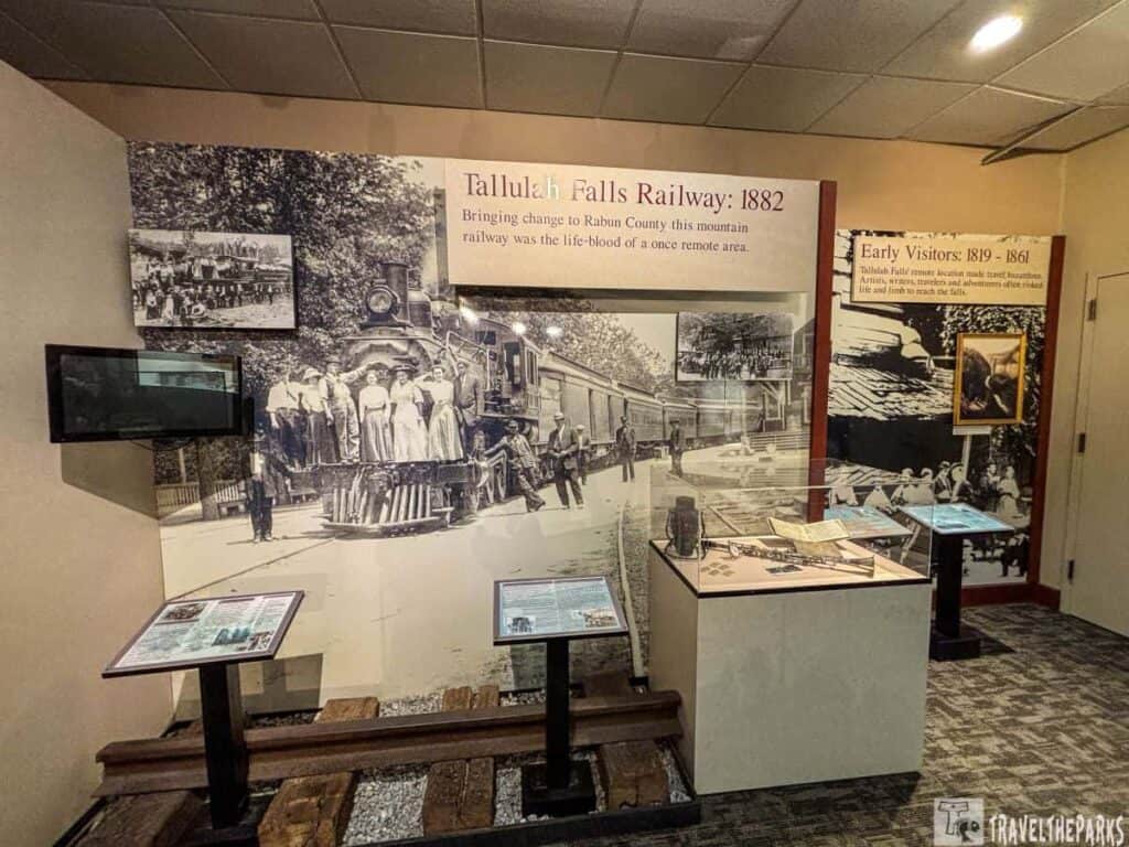
In the 19th century, with the arrival of the Tallulah Falls Railroad, the area transformed into one of Georgia’s first major tourist destinations. Victorian-era visitors flocked to what was now referred to as “The Niagara of the South.” Almost overnight, hotels, dance pavilions, and souvenir shops sprang up around the rim. Daredevils like Professor Bachman thrilled crowds with tightrope walks across the gorge. Becoming a Victorian resort town this golden age of tourism helped put Tallulah Gorge on the map. We spent a good amount of time exploring a detailed replica diorama of the Victorian-era resort town of Tallulah Falls—complete with miniature hotels, railways, and vintage photos.
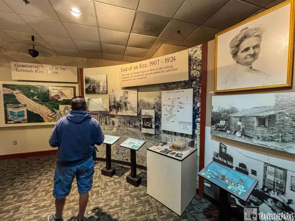
The Dam Era and the Fight to Save the Gorge (1910s–1990s)
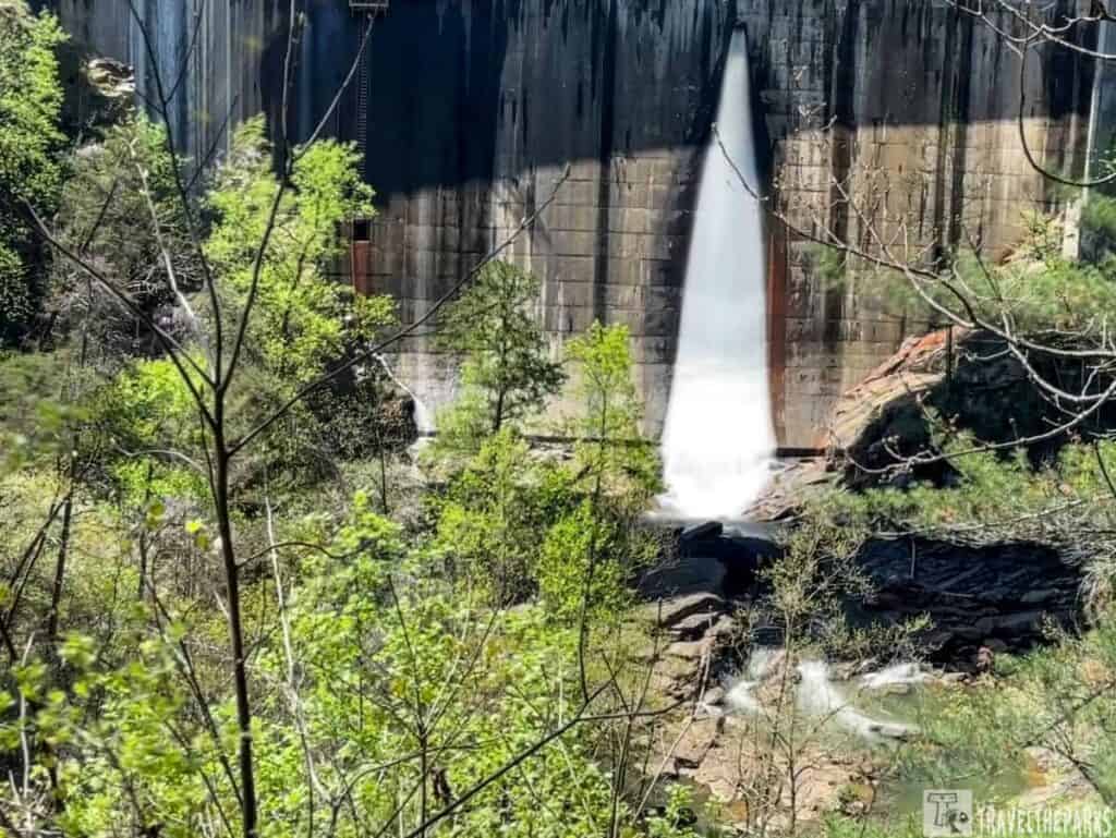
In 1913, Georgia Power constructed a hydroelectric dam upstream from Tallulah Gorge, which redirected most of the river for generating electricity. Although this was a significant industrial advancement, it severely affected the ecosystem of the gorge, turning waterfalls into mere trickles and changing the habitats. Nowadays, controlled water releases mimic the natural flow of the river, allowing visitors to see the gorge’s power as it was a hundred years ago.
Hike the Rim Trail & Cross the Suspension Bridge
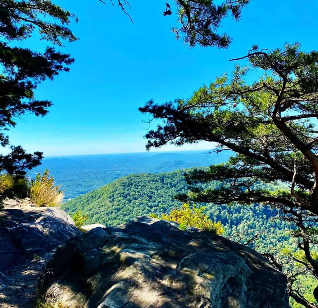
Our favorite part of our visit was hiking the North and South Rim Trails. There are multiple overlooks with jaw-dropping views of the gorge and waterfalls. The highlight? The bridge, a suspension type, is 80 feet tall and crosses the canyon. It is an exhilarating (and slightly wobbly) crossing with unforgettable photo opportunities.

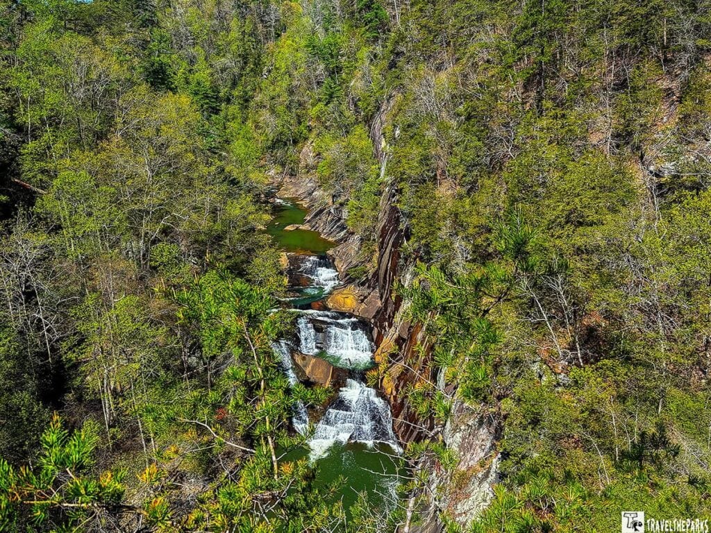
Within the gorge are six waterfalls, each cascading into deep pools. Hurricane Falls is the most accessible, but if you score a permit and hike the gorge floor, you’ll get an even closer look at Bridal Veil Falls and Sliding Rock. L’Eau d’Or, Tempesta, Hurricane, Oceana and Bridal Veil (Sliding Rock)
North & South Rim Trails
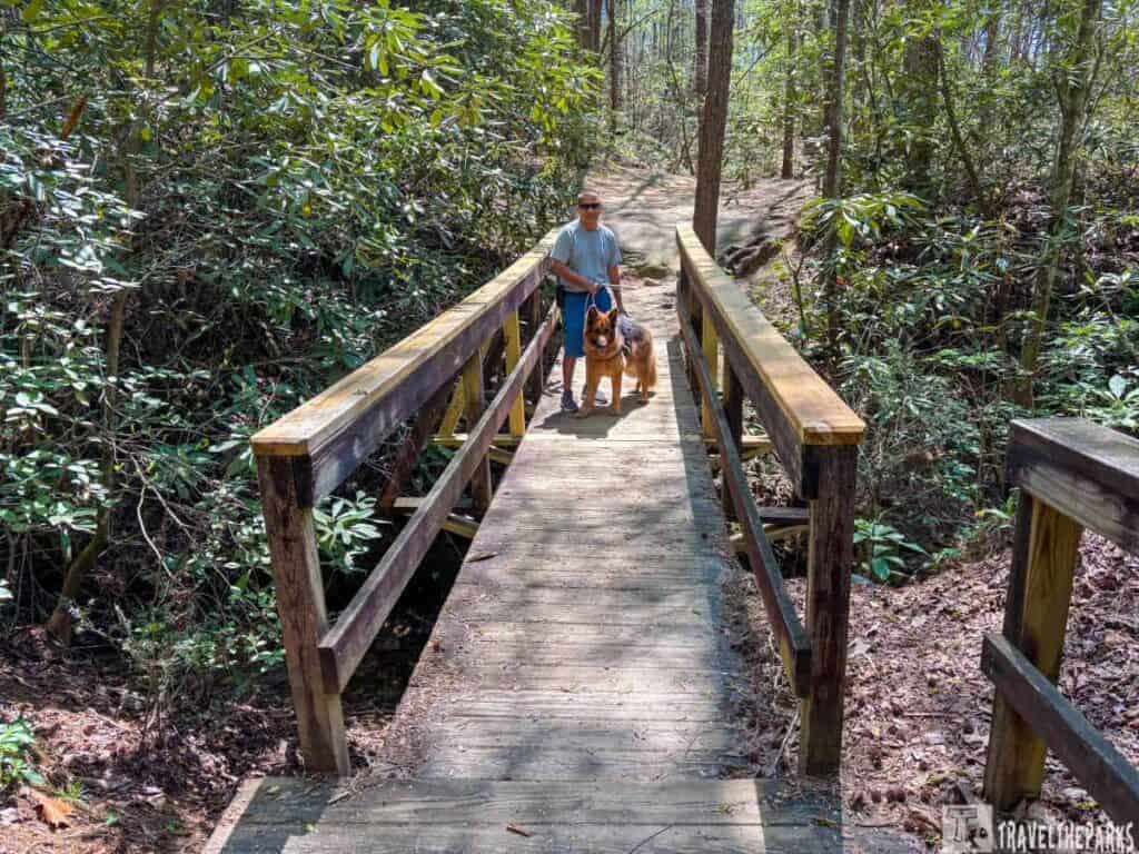
We combined both trails for a 3-mile round-trip (2-3hrs). Both trails are moderate in difficulty, with mulched paths with occasional roots, gentle inclines, and stairs. They offer spectacular overlooks into the 1,000-foot-deep gorge and views of Tallulah Falls Dam, including Tempesta Falls and Pool, Bridal Veil Falls and L’Eau d’Or Falls (pronounced Ladore). The Shortline Trail (paved, 0.75 miles) offers a quicker route between the North and South Rim trailheads. We liked this trail because it was dog-friendly.
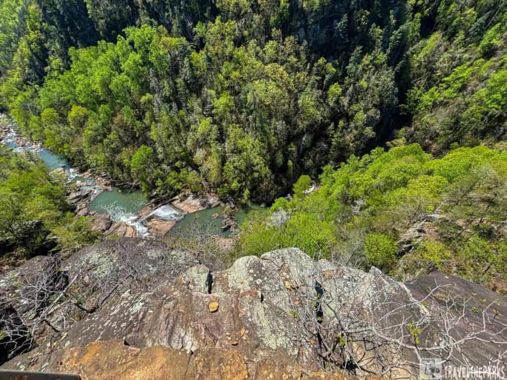
Hurricane Falls Trail: This scenic hike is very popular. Dogs are not allowed on this trail, so we tackled it after the Rim Trail, opting to leave Sage in the RV. Hikers access the gorge by descending a steep stairway. It’s a strenuous 2.5-mile hike with over 600 feet of elevation change and 1,099 stairs. The trail includes an 80-foot suspension bridge crossing the gorge.
I’ll be honest—the walk back up the steep metal staircase left me winded. But the view from this trail is absolutely spectacular.
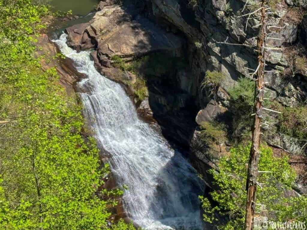
Sliding Rock Trail (Gorge Floor): 2.5 miles round-trip. Permit: (free, limited to 100/day) is required to go below the rim. Hikers need substantial footwear like hiking boots, athletic shoes (good tread), or hiking sandals with ankle support. It is advised to carry bottled water with you. Pro Tip: Arrive by 8 AM to snag a gorge floor permit.
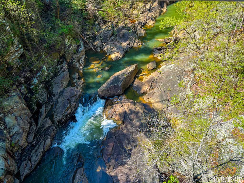
Stoneplace Trail: ~10 miles (round trip) follows an old roadbed. Must have a permit at the Interpretive Center. A much quieter alternative to the busy gorge trails. This trail is bike-friendly. Offers overlooks of Lake Tugalo and the surrounding Blue Ridge foothills.
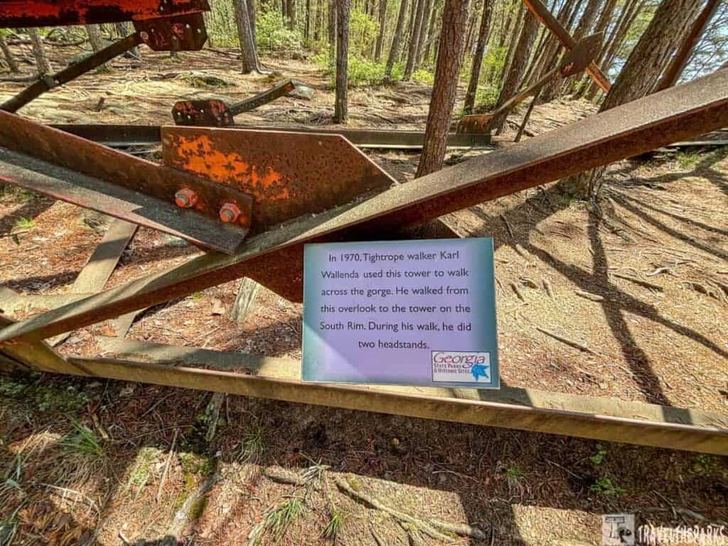
Discovering Wallenda’s Legacy on the Rim Trail
As we walked along the rim trail, we came across the old gear that the famous daredevil Karl Wallenda from the Flying Wallendas used to wow crowds when he crossed Tallulah Gorge. His achievement brought back the excitement of Tallulah’s golden age of high-wire acts, similar to what Professor Bachman did in 1886. At the park’s Interpretive Center we looked at pictures, newspaper articles, and a movie about Wallenda’s famous walk, which honors Georgia’s history of daring feats. Every autumn, “Wallenda Weekend” celebrates the tradition by showcasing live high-wire performances.
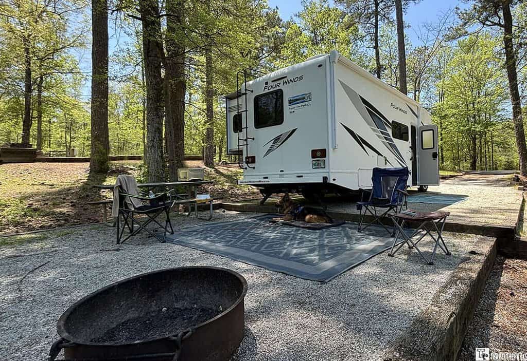
RV Camping at Tallulah Gorge State Park
We parked our motorhome at Tallulah Gorge State Park’s wooded campground. It was very nice, nestled beneath towering pines. It was outstanding, waking to birdsong and crisp canyon breezes. The campground was clean and well-shaded, with over 50 spacious sites. Most can accommodate RVs—plus electric and water hookups (30/50 amp), picnic tables, fire rings, and grills.
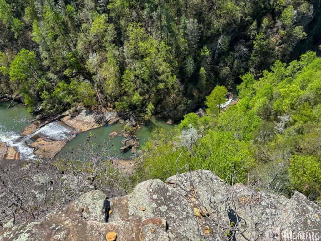
Sites are mostly back-in, and some are more level than others, so arrive early for the best pick if you haven’t reserved. Modern bathhouses with hot showers and an on-site dump station added convenience. The pet-friendly policy made it easy to bring our Sage along. It was the perfect basecamp for exploring the gorge’s trails by day and stargazing by the fire at night.
Final Thoughts: Tallulah Gorge State Park is a must-stop on your Georgia road trip
On this road trip, we paired our visit with nearby Great Smoky Mountains National Park. Tallulah Gorge State Park has beautiful views, excellent hiking trails, and cozy and friendly RV campsites bordered by pine trees. Hike the rim trail, see the waterfalls, or try to sectrip,ure that elusive gorge permit (we’ll be back for it, however!). Whether you’re looking for thrilling activities or peaceful time in nature, this special venue in Georgia has it all. We’re actually considering having this on our next road trip itinerary to Georgia!
Have you been to Tallulah Gorge or planning a visit? We’d love to hear about your favorite hikes, tips for snagging a gorge permit, or what you’re most excited to see—drop a comment below and let’s chat!

