Alaska has always been an amazing place to explore and unearth places that intrigue us. We decided to discover the Independence Mine in Hatcher Pass and added it to our Alaska itinerary. It operated between 1938 and 1950. This old abandoned mine complex and buildings have a tale to tell. This hauntingly beautiful valley also has a rich history. Walking the buildings, you get a sense of what life must have been like on this desolate mountain. The Independence Mine State Historical Park is a wonderful place to learn about Alaskan gold rush.
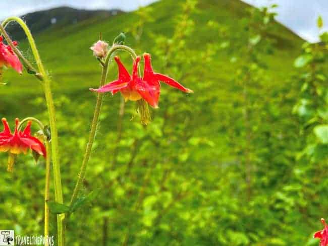
Hatcher Pass is incredibly popular with Alaskans who use the public use area for many recreational activities. Both summer and winter activities such as hiking, picnicking, photography, blueberry picking, camping, cross-country skiing, snow machining, and snowboarding.

We have always been curious about gold mining after reading a Call of the Wild an adventure novel by Jack London. Looking to learn more. Finally, had time to check out Hatcher Pass and the Independence mine on our 2nd trip to Alaska. It was a misty rainy morning as we drove from Talkeetna to Wasilla to see the mine.
This post may contain affiliate links, meaning if you purchase something through one of these links, we may earn a small commission at no extra cost to you! Read the full disclosure policy here.
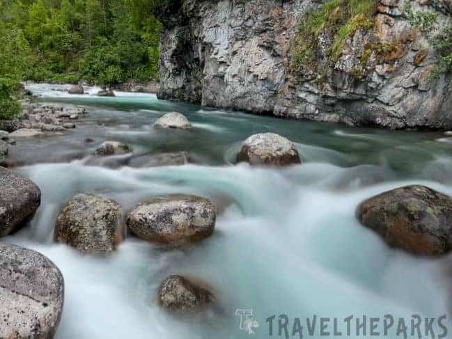
Table of Contents
Getting to Independence Mine State Historical Park in Hatcher Pass
From Anchorage: The idyllic Hatcher Pass just outside the small town of Palmer in the Mat-Su Valley a few miles from the scenic Glenn Highway. An easy 1.5-hour drive from Anchorage. Follow the Glenn Highway north from Anchorage north to mile 49.5. Turnoff onto Palmer-Fishhook Road and follow the signs to Hatcher Pass Road/Independence Mine State Historical Park. The road travels along the scenic Little Susitna River.
From Wasilla: Head northeast on Main Street, which becomes Wasilla-Fishhook Road, which connects with the Palmer-Fishhook Road.
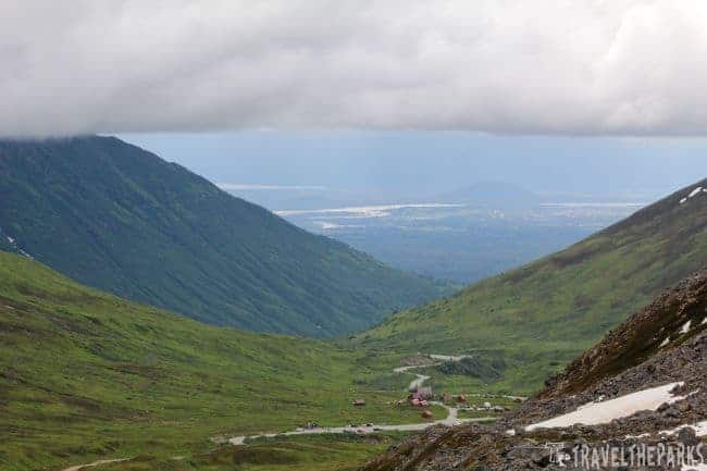
From Willow: The Willow-Fishhook Road junction is at Parks Highway mile 71.4 from Anchorage, and mile 290.6 from Fairbanks. Turn left onto Hatcher Pass road. This is the start of the gravel road that passes over the Hatcher summit before descending back to the Independence mine to Fishhook road. The drive alone is priceless, with panoramic views of the southern Talkeetna Mountains.
Note: From MM 17.5 to MM 32.5 is an unmaintained rough. narrow gravel road with steep slopes that are closed in the winter.
How Independence Mine Got Its Start: The Humble Beginnings
Robert Lee Hatcher discovered and staked the first gold lode claim in 1906. The first tunnel mine opened in early 1908. When he formed the Alaska Free Gold Mine on Skyscraper Mountain in the early 20th century. Later, the Independence Mine opened in 1908, operating on Granite Mountain. In 1938, they merged the two mines to form the Alaska-Pacific Consolidated Mining Company. The mine continued to produce hard gold ore until World War II. During the war, our country’s priorities changed and gold prices dropped.
Independence was the second largest and most productive for hard-rock gold mine, producing over 165,500 ounces of gold worth about 18 million today. At its peak there were 204 workers employed, and12 miles of tunnels.
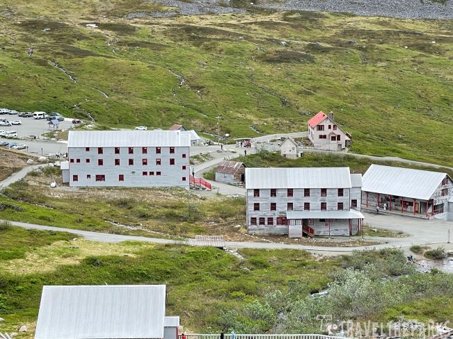
They entered the independence mine into the National Register of Historic Places in 1974. Alaska Division of Parks & Outdoor Recreation created the park in 1980 after 271 acres of land were donated in the 1970s. Unlike the Kennicott in Wrangell St. Elias National Park, the Independence mine has more buildings that have deteriorated beyond repair. Today, only 13 structures built in the late 1930s and early 1940s remain standing.
Know Before You Go: Essential Tips for Visiting Independence Mine at Hatcher Pass
- Seasonal Access: The mine is typically accessible from late spring through early fall. Winters can bring heavy snow, closing roads and trails. Check current conditions before planning your trip.
- Visitor Center: Open daily from June 18 to September 30, 9:00 AM to 7:00 PM. For Updates visit the official Alaska State Parks website
- Entrance Fees: A day use parking permit will cost $5 for visitors. You can purchase passes at the kiosk in the upper parking lot. There is ample parking in both an upper and lower lot for vehicles, RVs and buses.
- Guided Tours: Check if guided tours are offered during your visit for a richer historical experience.
- Pet Policy: Pets are allowed but must be kept on a leash. Clean up after your pets to help preserve the natural environment.
- Cell Service: Limited or no cell phone service in the area—plan accordingly.
- Always practice Leave No Trace ethics on your hiking adventures and follow local regulations. Please explore responsibly!
- You really should have good walking or hiking shoes on the trails. Remember to bring snacks and a refillable water bottle. Don’t forget your camera.The views are astounding!
Self-Guided Walking Tour of the Independence Mine in Hatcher Pass
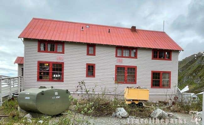
We started our exploration of the Independence Mine State Historical Park at the Mine Manager’s house aka the visitor’s center. Built in 1939 for the general manager Walter W. Stoll and family. Today, this is the only building which has heat and electricity. They rebuilt the beautiful fireplace in 1995. Here we picked up our free self-guided tour map at the guest kiosk. It will help you navigate and understand the significance of many of the buildings. Downloadable Brochure-Map.
Touring Bunkhouse 1 & 2: Life at Independence Mine in Hatcher Pass
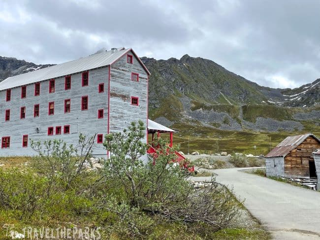
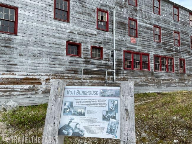
Our next stop was bunkhouse 2. Inside, there was a small gift shop and snack bar. From here, Salmon Berry Travel manages the independence mine tours. Open daily starting June 18 to September 30 from 9am-7pm. The 45-minute tours cost $15.00. Tours begin every hour. The next building on the self-guided tour is bunkhouse #1. This building was the first real bunkhouse constructed in 1934. It housed 54 men. They considered it the best accomodations in the entire Willow Creek Mining district with heat, running water and electricity. The first floor had a recreation room, a library and a room to dry, wet work clothes.
Assayer’s Office: Where Gold Was Weighed and Dreams Were Measured
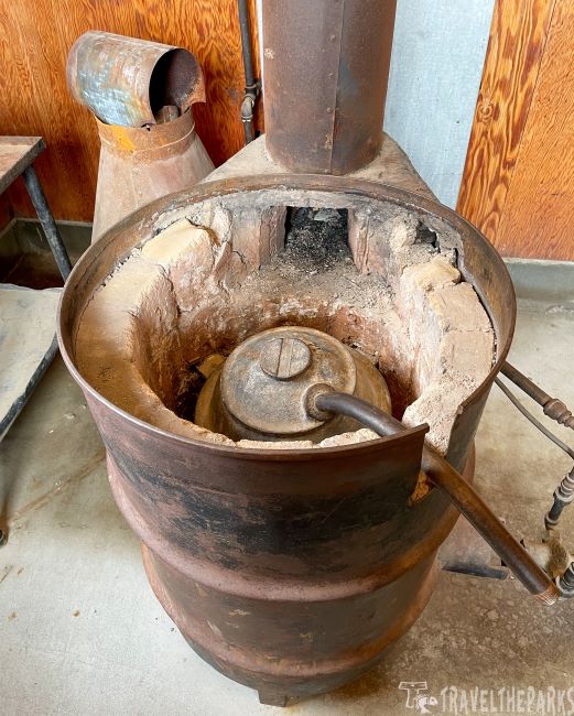
Next we visited the Assayers’ Office. They used the assay office to process the gold amalgam, ultimately determining the gold content of the ore and whether the remaining ore was worth processing. The office has interesting displays on the various mining techniques used to assay the purify the gold. The displays educational displays offer a great deal of historical information on the assaying and retorting processes.

The heating process or retorting separated the mercury from the gold by distillations. Amalgam cakes were crushed and squeezed into a cast iron retort pot. The resulting in a 50% gold and 50% mercury. In the amalgam, they punched small holes to form gas vents. This allowed the amalgam to heat more evenly and more rapidly.
At the end of the process, the retort pot was removed from the furnace and allowed to cool. Interestingly, the mercury which had been recovered later was weighed and returned to the mill for reuse in the milling operation. The remaining “sponge” was nearly solid gold. The assayer’s office also contained the chemicals, delicate balance scales and other equipment used to determine the gold content of the ore.
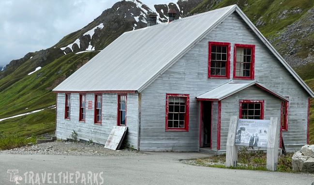
Exploring the Outer Buildings of Independence Mine State Historical Park
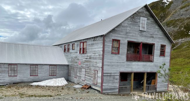
- Apartment House-At the height of production, 206 miners and their families called this place home. It was one of the first permanent buildings constructed in 1937.
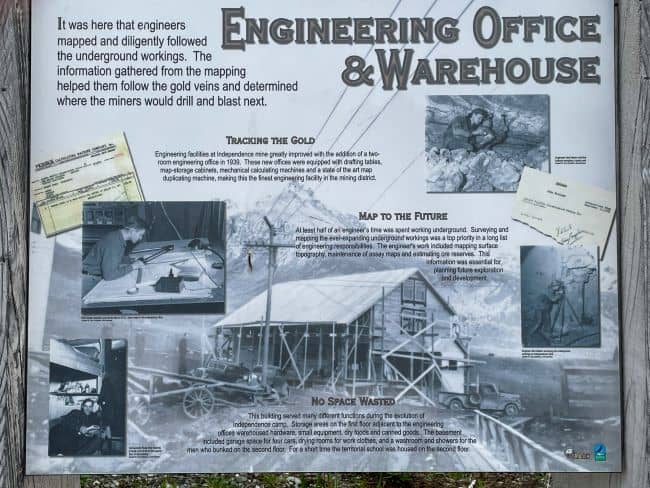
- Engineering Office & Warehouse-engineers carefully documenting the underground tunnels. Mapping and tracking the gold veins using state-of-the-art drafting methods.
- School House-on the 2nd floor of the Engineering offices they established a small school for the families living in boomtown.
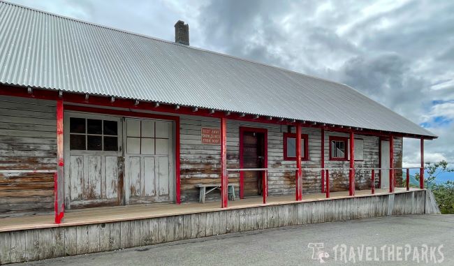
- Mine Office & Commissary-control of mining operations, including payroll and purchasing. They stored gold awaiting shipment in the safe. Operated a small commissary and post office.
- Framing Shop-Timber frames for supporting the underground tunnel in the mine were cut, as were heavy timbers for construction projects.
- Cookhouse & Mess Hall-Built In 1941, this larger cookhouse accommodated the growing population of miners. The second floor housed the supervisors and kitchen workers.
- Interpretive Center-original cookhouse & bunkhouse location. It has bench seating, spotting scope and interpretive panels. Using binoculars, we could see the old mining tunnels, the aerial cable locations and the original mine at the top of Skyscraper mountain.
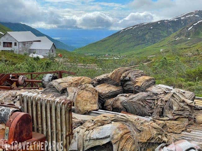
A Guide to Exploring Independence Mine at Hatcher Pass: Don’t Miss the Mill Complex
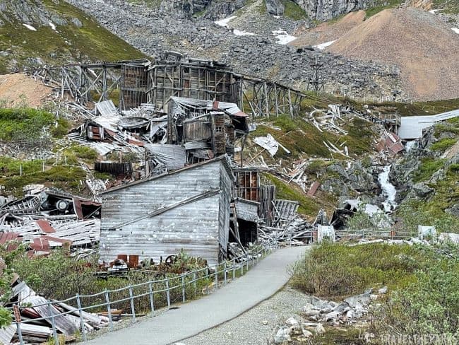
The milling process. Most of the buildings are nothing but rubble, succumbing long ago. Collapsing under the weight of heavy snowfall. Hiking uphill beneath gloomy skies, we made our way towards the remains of the mill complex.
- Pipe, Sheet Metal & Electric Shop-constructed in 1938 as a frame shop to supply timbers for the tunnels. They converted it in 1940. They elaborately equipped the facility with a power-driven threader, multiple size stocks & dies and a complete set of tools, including stock pipe and fittings.
- The Powerhouse-the mine had to generate its own power. Built in 1937, it housed several diesel generators that ran 24-hours a day-producing 900 horsepower and 670 kilowatts. They needed 1000 gallons of fuel each day to keep the mine functioning. A machine & welding shop also was in the mill complex.
- Ore Sorting Process Buildings-Approximately one-fifth of the material was waste rock. They first transported the ore by an aerial tram of a train. Ore from the coarse-ore storage bin was fed over a vibrating belt sieving the finer particles. The larger chunk got a spray wash before being hand sorted. Washing made it easier to see the gold-bearing quartz ore and separate waste rock. The large selected ore was further crushed before moving to the fine-ore bine with the sorted fine particles. The next step was the ball mill. Further reduced to a “slurry,” the mixture underwent an amalgamation process.
Discovering the Water Tunnel Portal
Before the completion of the water tunnel, they removed the gold-bearing quartz ore from the mountain through the portals at the 900 foot level and transported it by aerial tram to the mill. There are between 8-10 miles of tunnels in the Independence mine.
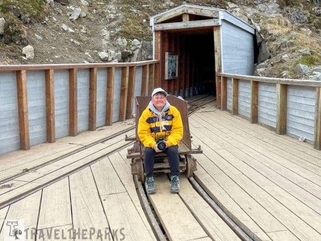
It extended an old adit that a stream of water flowed from year-round. Developed in 1941, it became the primary route for transporting ore and materials. We walked through the short reconstructed section of the water tunnel. There are gorgeous views of the green valley all the way to Palmer.
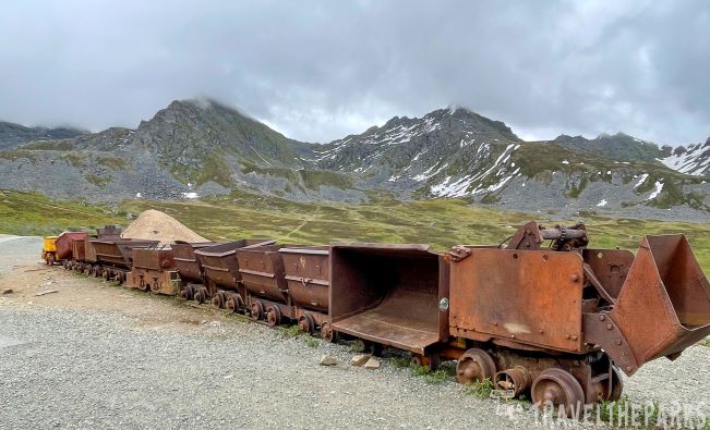

The Story of the Historic Mine Train
It was first used in 1940 before implementing the Water tunnel. The train helped the men to move equipment and improved the speed of ore removal. Two battery powered locomotives moved the ore and flat cars. They also used a mucking machine.

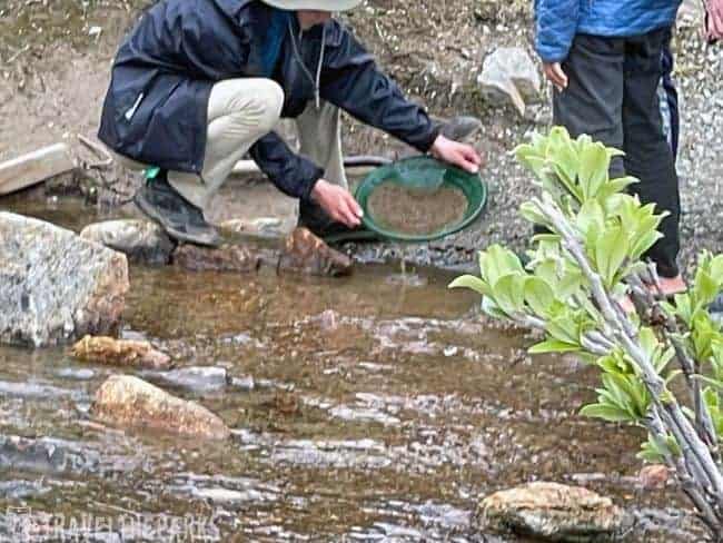
Try Your Hand at Gold Panning: Pan for Gold Like a Prospector
Fishhook creek spills down in between the mining buildings as it descends to meet the Little Susitna river. The sound of running water created by the many small, cascading waterfalls. With an adventurous spirit, we tried our luck doing a little gold panning. They allow gold panning inside the park using a shovel and pan only. The cost is $5 for a pan, sieve, shovel and a small vial for any gold collected. We did our panning in Fishhook Creek but had little luck.
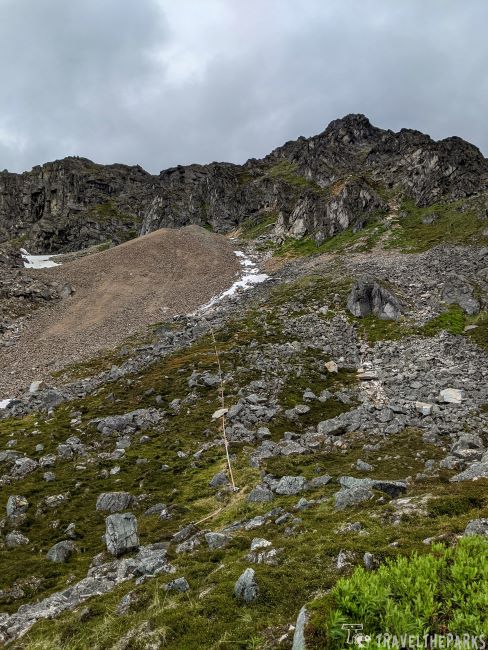
Discover History on the Trails: Hike the Mill Loop Trail
Short trail is a 0.9 mile to absolutely stunning view above the independence mine. The mine sits above the tree line at an elevation of 3,886 feet, so in June there was still some snow on the ground. We could hear this tsik-tsik or chirp-chirp sound. Turns out it was an alarmed Arctic Ground Squirrel in the ruins of the mine buildings. They are the largest of North America’s ground squirrels, the only species that lives in Alaska.

Walking the gravel trail, the green sloped mountains tower above you. We discovered that this is a spectacular landscape. Blooming wildflowers adorn much of the spongy tundra in early June. They include blueberry, lupine, wild salmonberry, wild geraniums and wild celery.

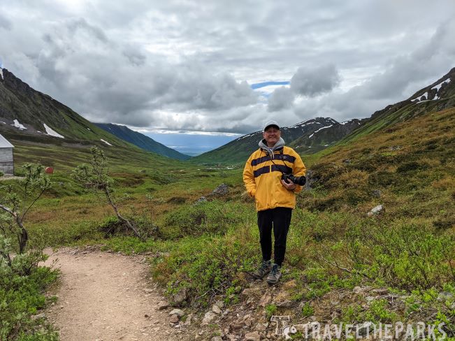
It is definitely important to dress accordingly, as the weather can change at any time and it did. A low cloud of fog moved through the valley as we hiked the trail. A chilly breeze made me shiver, reminding me that this was a high elevation alpine tundra. Trails criss-cross the terrain, many taking you higher up-slope. We ascended, rising higher for more magnificent views before descending back to the turning point of the Mill trail. The trail returns to the water tunnel over a newly constructed bridge crossing Fishhook creek before returning to the parking lot.
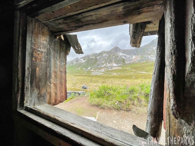
Hiking the Historic Gold Cord Trail
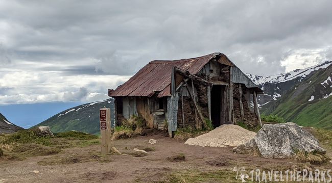
The first part of the hike was easy. Fairly steep elevation gain over rocks, but it’s manageable on the switchbacks. Trail was snow covered in places and muddy-trekking poles were helpful. We stopped at the old Lynch cabin on the way up. Panoramic views of the Independence Mine State Historical Park and the valley floor. Despite that, and the light rain, we got splendid views of the lake.
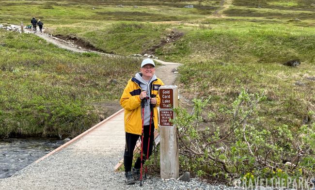
There are many trails crisscrossing this valley. Further down the pass are the April Bowl Loop via Hatch Peak, Reed Lakes and Gold Mint Trail. These are much longer day hikes.
Visit Summit Lake State Recreation Site
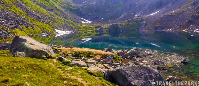
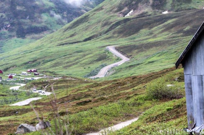
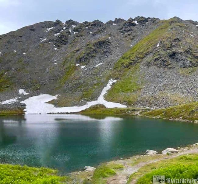
The road climbing to Hatcher Pass is steep gravel. We only went as far as summit lake with our rental vehicle (2-miles). Summit Lake was absolutely stunning. The park only encompasses 360-acres of land, with the 190-acre lake being the centerpiece. The deep blue water was mesmerizing. We did the short hike around the lake before returning and heading back towards Palmer. The scenery is breathtaking.
A Guide to Lodging near Independence Mine
Whether you’re a history buff, nature enthusiast, or adventure seeker, planning your stay near this iconic site requires consideration. To help you choose the perfect lodging, we’ve dug up the best options based on different travel styles:
- Mat-Su Resort: Immerse yourself in rustic elegance with lake-view rooms, a refined restaurant, and water sports activities. Indulge in pampering amenities and personalized service.
- Independence Mine State Park Cabin: Rent a historic cabin for a unique and authentic experience. Limited availability, so book early!
Hatcher Pass Lodge
The 40-year-old lodge is a perfect location for exploring the surrounding Independence State Historical Park, hiking trails, berry picking, and summit lake.The red A frame cabins at Hatcher Pass Lodge are rustic with compost toilets and no running water. The restaurant-lodge serve food, provides showers and restrooms. This place renown for the best pictures of the Aurora Borealis in the winter months. Large picture windows enhance the beautiful view into the valley below.

Cozy Lakeside Retreat – Talkeetna
This is just one of the Airbnb places we stayed while in Alaska. Secluded lakeside cabin with excellent views outside of Talkeetna. We used the provided paddleboat to get a closer look at the loons or beavers that frequent the lake. Easy drive into Talkeetna and only 5 mins from Denali Brewing Company and the Flying Squirrel Cafe. The Flying Squirrel has the best pizza!

Tranquility by the Lake Cabin-Palmer/Sutton
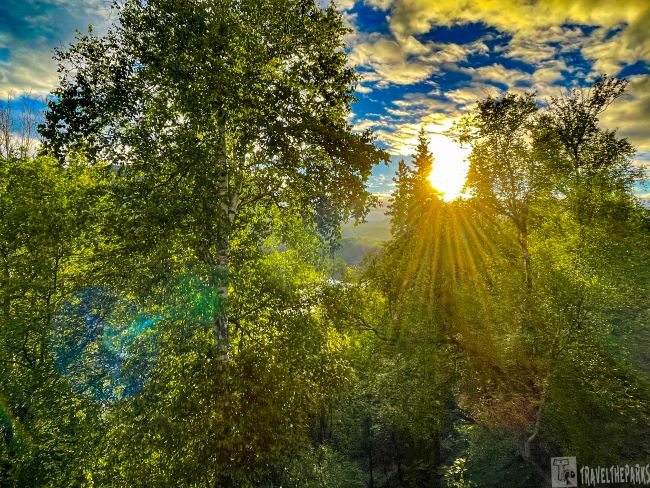
Tastefully decorated, this is an absolutely beautiful, clean Lakefront Hideaway. It has everything you could need, a hidden gem. Its location, overlooking the lake among the trees with the snow-capped mountains in the background, was perfect. The views from the deck on17-mile lake through the trees were stunning. The host greeted us with freshly baked chocolate-chop cookies upon arrival. Close to the Musk Ox farm and the Alpine Historical Park.
Final Thoughts on Discover the Epic Independence Mine in Hatcher Pass
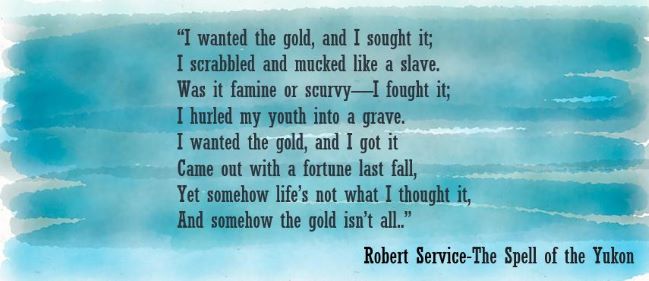
We all relished the quiet of the day and the chance to slow down and soak in the details. It is so worth discovering the Independence Mine in Hatcher Pass. The Spell of the Yukon appears in Songs of a Sourdough, a book of poetry published in 1907 by Robert W. Service. It romanticizes the gold rush fever. Today I think of his poem as we leave magical Hatcher Pass, a slice of heaven on earth. So many did not leave this place with the same inspirations.
Have you had the chance to visit the Independence Mine? Please let us know how the trip went, share in the comments below.



Steve cunningham
I have a photo of my father before he died wearing a tee shirt with the name of independence mine Alaska. He often talked of working in Alaska prior to World War Two. I wonder if there is a historical record of employee service? Thanks for the information on the Independence Mine, it was a great read.