We have driven through a lot of the Alabama’s National Park Service sites on our road trips—the kind of driving where you’re half-arguing about whose turn it is to pick the playlist and half-watching the miles roll by. But pulling off Highway 49 and into Horseshoe Bend National Military Park stopped us both mid-sentence. Not because of a dramatic overlook or a famous skyline, but because of a river bend that changed American history so completely it’s almost hard to wrap your head around while standing there eating trail mix.
If you’ve never heard of this place, you’re not alone—and that’s honestly a shame. Tucked into the rolling hills of Tallapoosa County, Alabama, Horseshoe Bend is a free, genuinely fascinating National Military Park that most road trippers blow right past on the way to somewhere else. We’re here to tell you: slow down and stop.
This post may contain affiliate links, meaning if you purchase something through one of these links, we may earn a small commission at no extra cost to you! Read the full disclosure policy here.
Table of Contents
The Battle That Bent History
The conflict at that time involved the Creek Nation fighting within itself. There were two factions—the Red Sticks (the traditionalist faction), and the Lower Creeks (who wanted to be on good terms with Americans).
Enter Andrew Jackson. Not yet president. Just a general with a temper and something to prove.
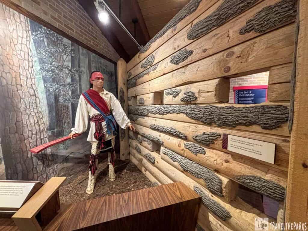
He marched about three thousand men into Alabama—soldiers, Cherokee, and Lower Creek allies—to finish the Red Sticks off for good. The Red Sticks were based in this enormous bend of the Tallapoosa River. Strong defensive position. They built a log wall across the neck of it. Felt safe.
They weren’t.
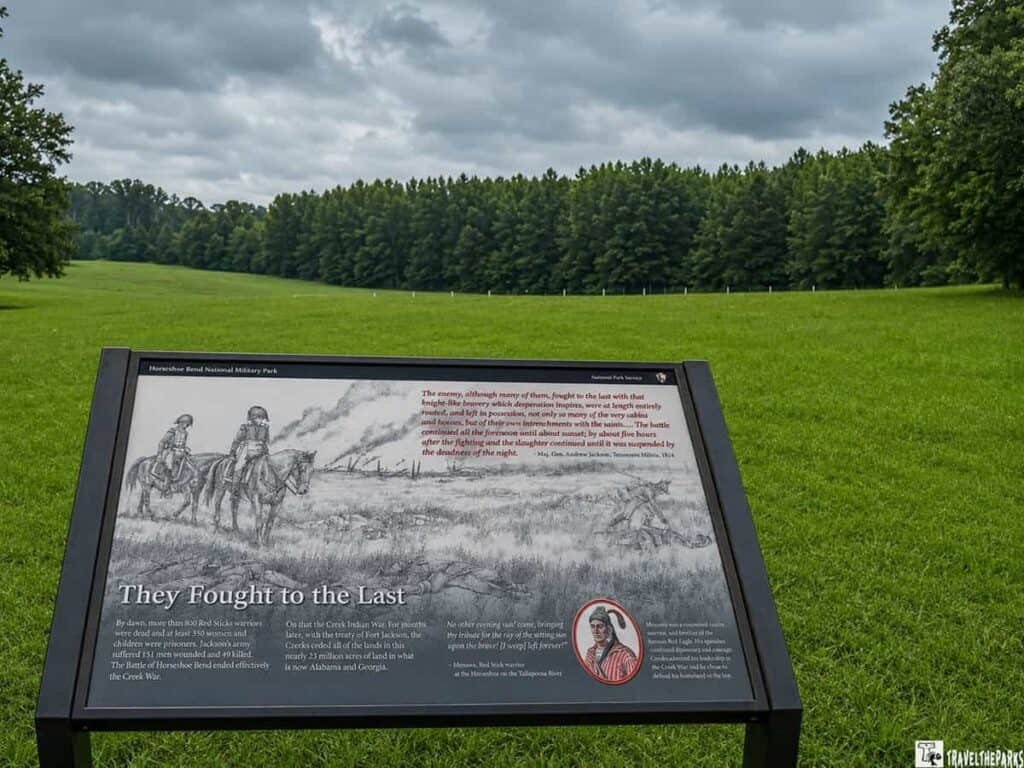
Jackson shelled them for hours. Then he sent troops across the river to attack from behind. The Cherokee swam over with rifles held above their heads—which is wild, by the way—and hit the flank. Suddenly the Red Sticks were trapped. River on three sides. Enemy on the fourth.
By nightfall, over 800 Red Stick warriors were dead. Jackson lost about 50.
The Creek Nation never recovered. They gave up 23 million acres after the battle. That’s most of Alabama.
One Red Stick chief, Menawa, survived. Badly wounded. Left for dead. Crawled away. He later said he wished he hadn’t.
We stood near the old barricade spot. It’s quiet now. Butterflies. Oak trees. You’d never guess what happened here unless you read the signs. That contrast—peaceful land, ugly history—is what stuck with us.
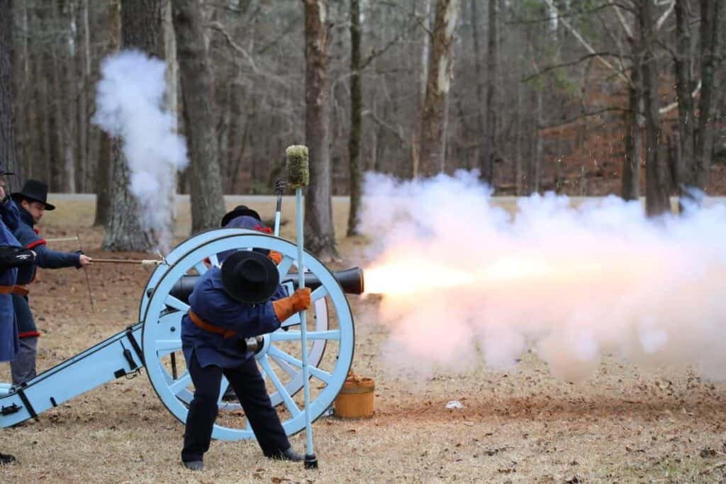
What We Did at Horseshoe Bend National Military Park (And What You Should Too)
The park is compact but thoughtfully put together, and we found it easy to spend a solid two hours without once glancing at our phones.
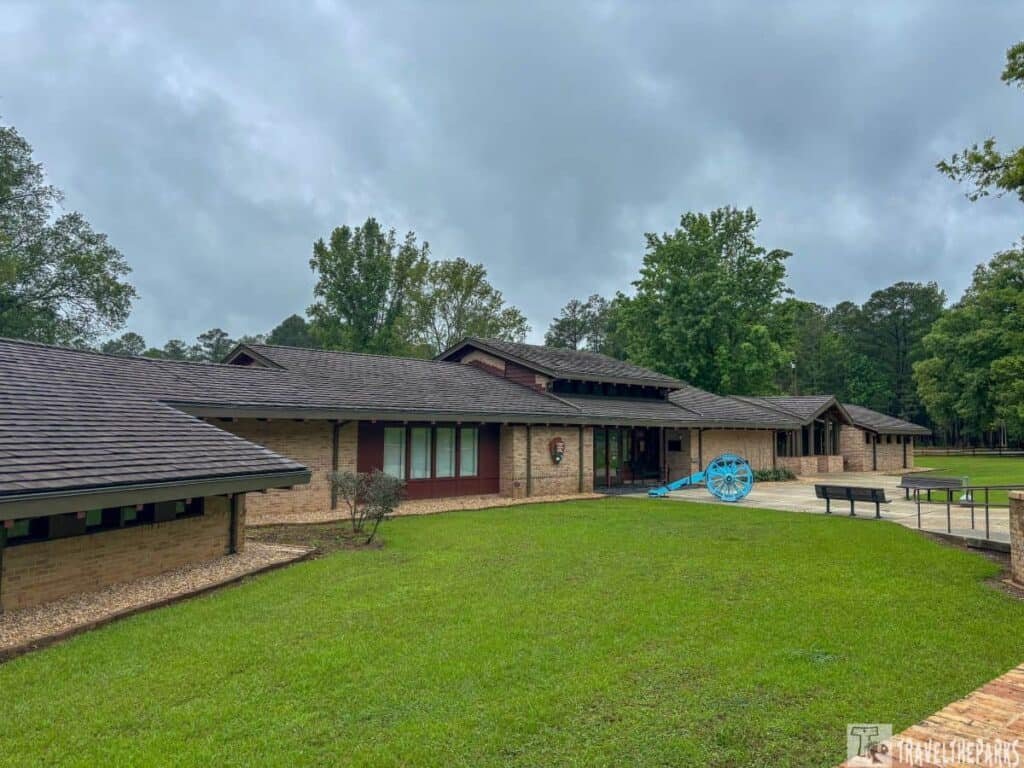
Visitor Center and Park Film
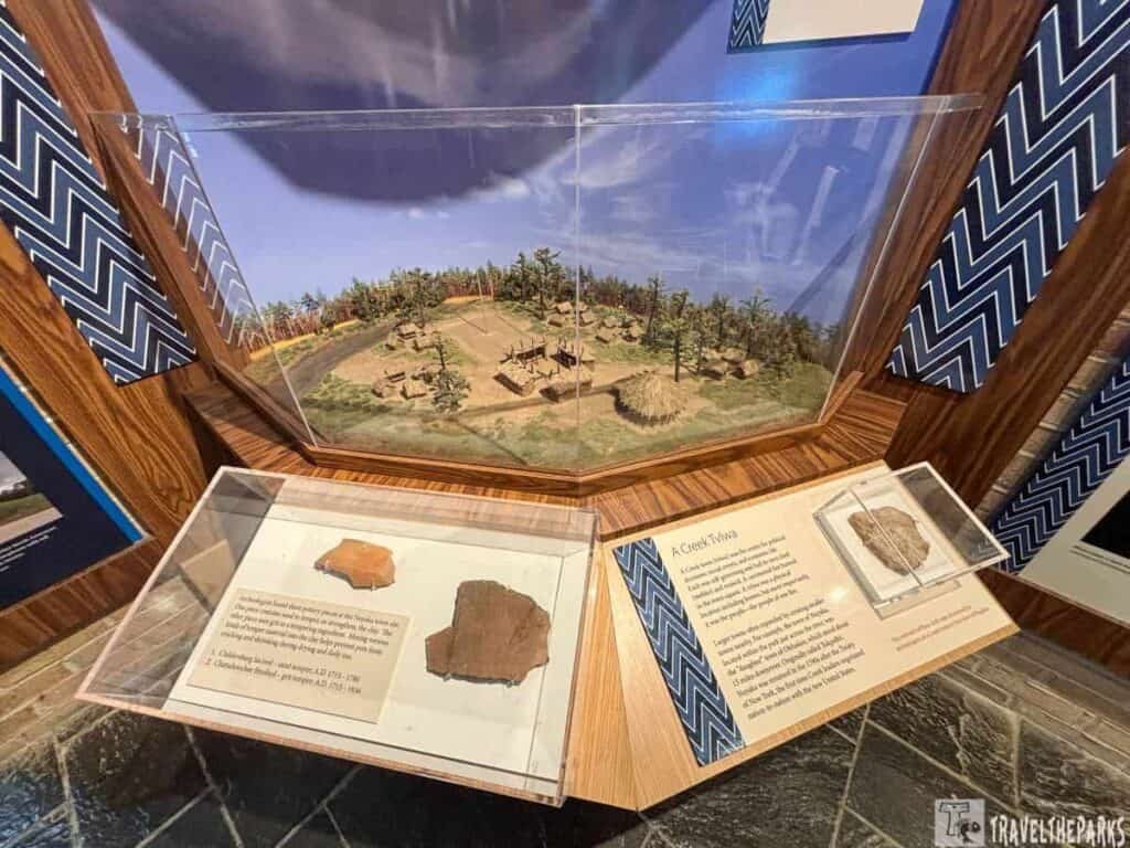
We almost missed the turn. The entrance is modest—blink and you’ll be staring at a cow pasture. But once you roll into the parking lot (clean, spacious, mercifully empty on a Tuesday morning), the visitor center is waiting. Small building, big content. The museum covers why the Creek War happened and what it cost—and it doesn’t skip the hard parts about what happened to the Muscogee (Creek) Nation afterward. There’s a 23-minute film too. We are usually exactly the kind of people who wander outside while the intro video plays. Not this time. Watch it.
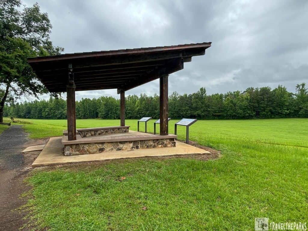
The Three-Mile Loop: History With a Side of Sweat
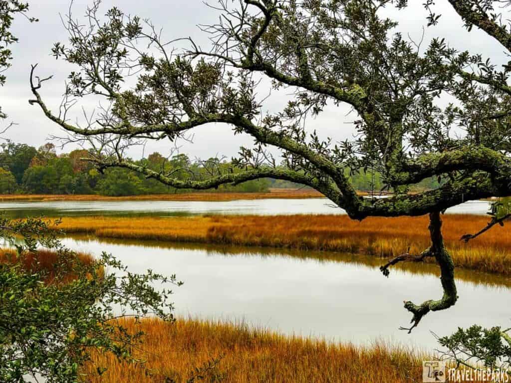
You can drive the scenic loop and stop at marked historical points along the way—works great if someone in your crew has sore knees or a strong preference for air conditioning. Or you can walk the nature trail, which covers the same ground on foot and gives you a real feel for the terrain Jackson’s troops actually had to move through. It winds through hardwood forest and opens up near the river. Genuinely pretty walking, not just history homework.
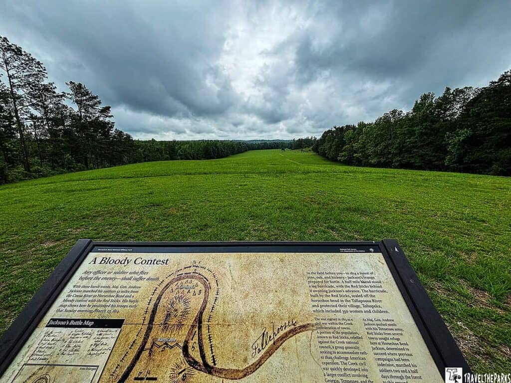
Horseshoe Bend National Military Park: The Overlook
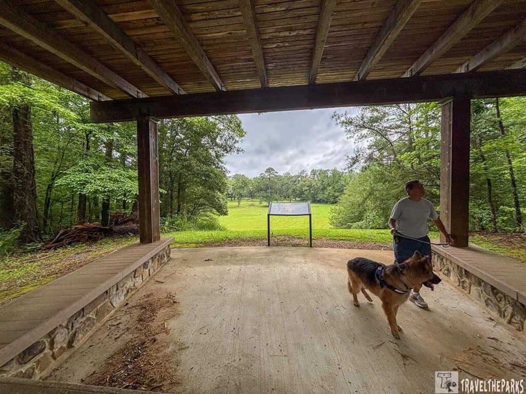
Start at the Battlefield Overlook before you hit the tour road. This is where Jackson and his troops first showed up around 10 in the morning on March 27, 1814. Standing here, you’re looking at pretty much the same view he had—minus the warriors, of course.
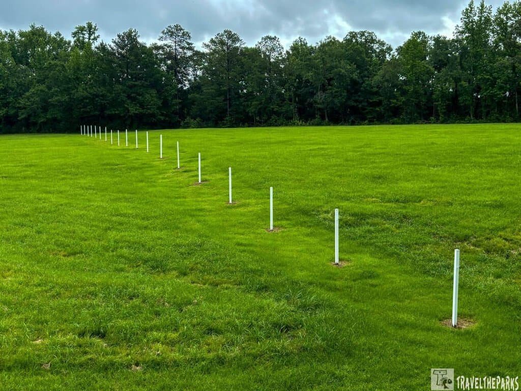
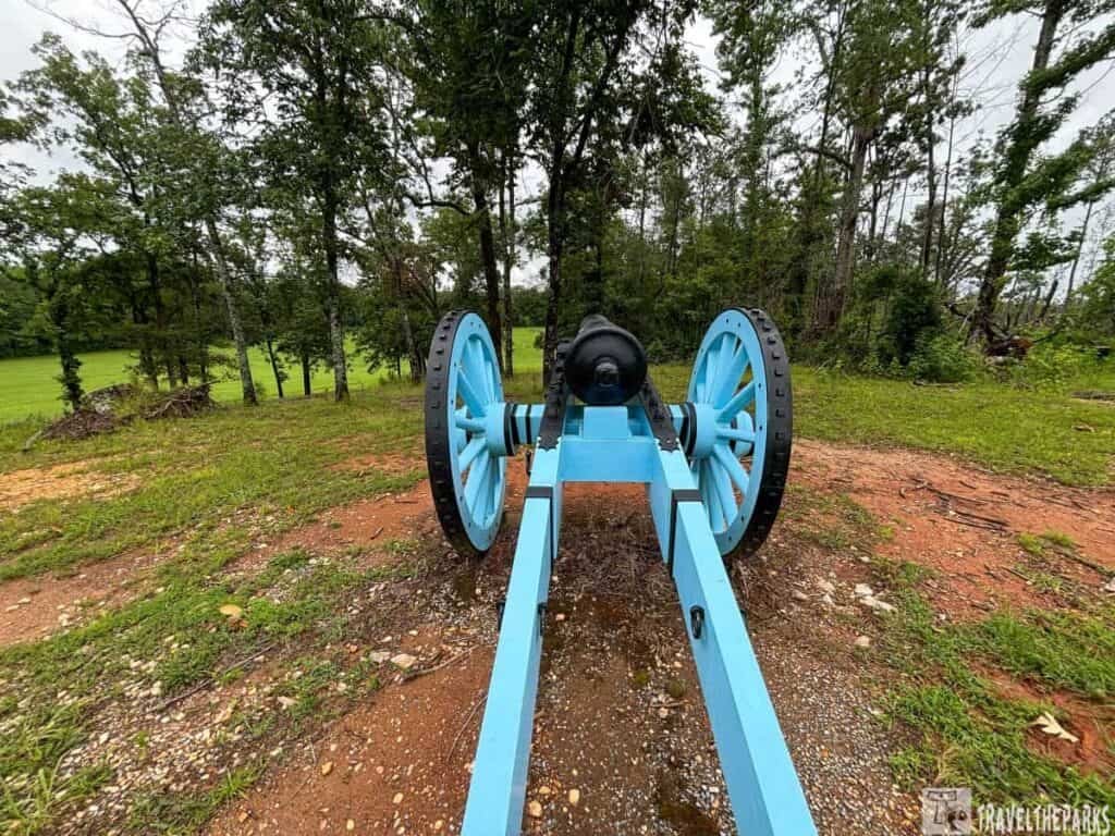
Coffey’s mounted infantry and the Indian allies crossed the river about three miles downstream, then swung around to box in the horseshoe so nobody could slip out for help or escape by water. Jackson set his regulars and militia across the open ground and parked his cannons on the hill to your right. See those white stakes way out there? That’s the barricade line, and behind it, roughly a thousand Red Stick fighters were dug in and ready. The steep hill beside you is Cotton Patch Hill—got its name from the terraced gardens you can still make out on the face of it.
PRO tip: Download the NPS app before you lose signal. Because you will lose signal. This is Alabama off-the-beaten-path history at its finest—meaning your GPS will give up around mile marker 3.
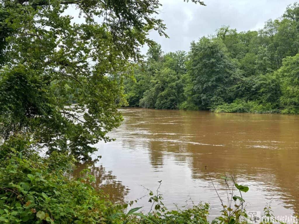
Tour Stop 1: The Island
This spot gives you a clear look at that piece of land right in the middle of the river. During the battle, it wasn’t empty—some of the fighting happened out there, and it also played into how the whole horseshoe curve trapped things. Good place to start just to see the water and the bend together.
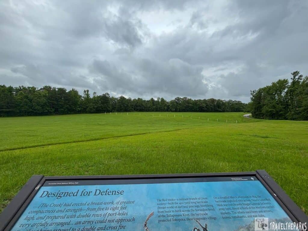
Tour Stop 2: The Barricade
This is where the real brutal part went down. The Red Stick warriors piled up logs and brush into a wall that ran right across the neck of the peninsula. Jackson’s men had to go straight at it, and you can still see the ground where that assault happened. It’s sobering standing there.
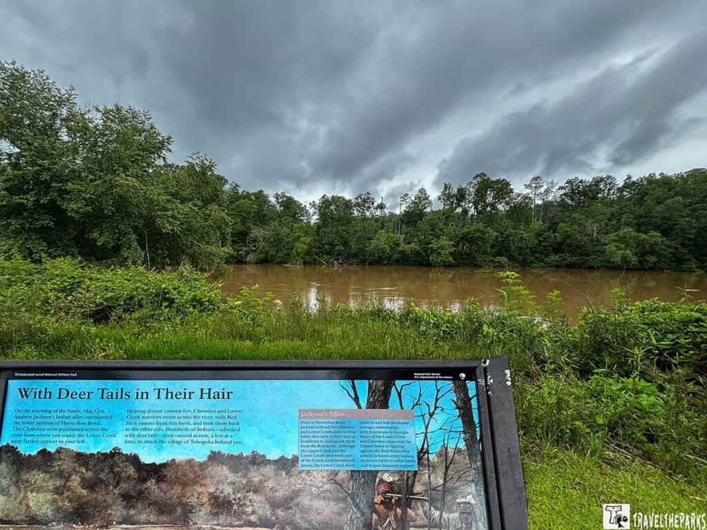
Tour Stop 3: Cherokee Crossing
This stop marks where the Cherokee and other allied fighters forded the river to hit the village from the back side. They didn’t just follow orders—they took a lot of initiative here, and without them crossing when they did, the battle probably drags out a whole lot longer.
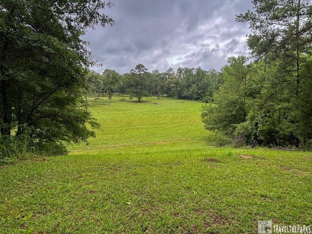
Tour Stop 4: Tohopeka Village Overlook
From up here you’re looking down at where the main Creek settlement sat. It wasn’t just a war camp—there were homes, food stores, gardens. Seeing it from this angle makes you realize this wasn’t some empty battlefield; it was somebody’s neighborhood before that morning.
Tour Stop 5: Newyaucau Town and the Aftermath
Last stop, and it’s another town site, northeast across the river. Same kind of deal—fields, houses, everyday life where burned to the ground by US troops. It drives home that the fight didn’t just hit one village; it wiped out multiple communities in one sweep. Kind of a heavy note to end on, but it’s the real story.
Historical Markers and the Battlefield Monument
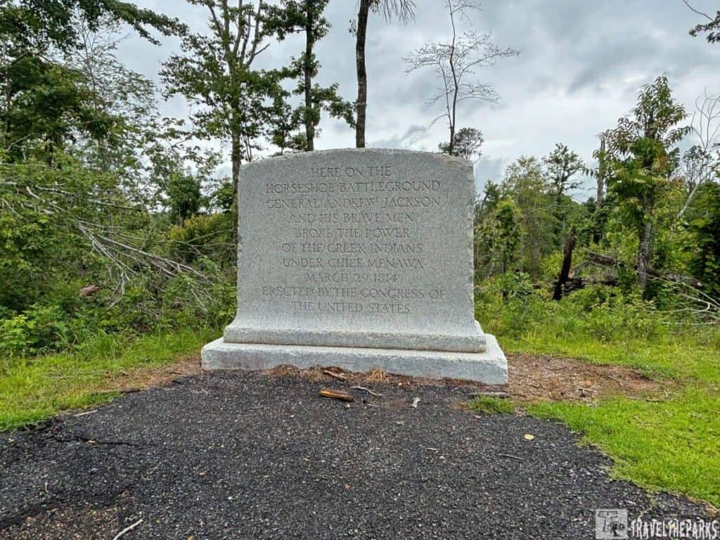
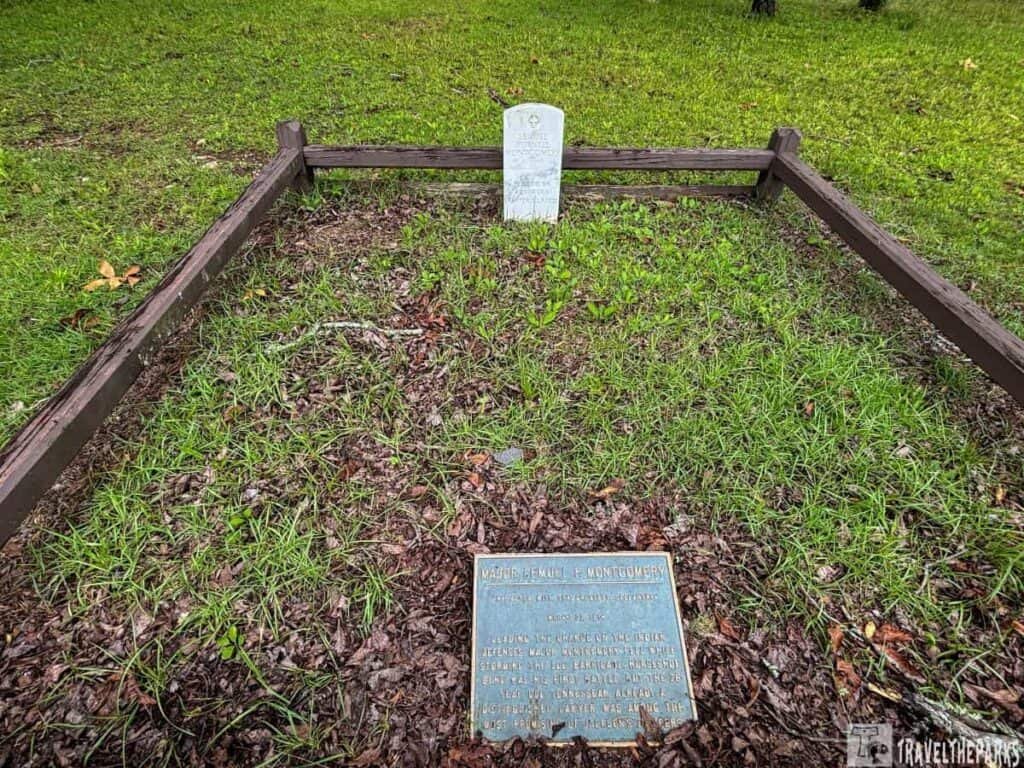
You’ll find markers scattered all over the park. Some talk about troop movements. Others name individual soldiers. One grave stands out—Major Lemuel Purnell Montgomery. He’s the only person buried here. And yeah, that Montgomery? Same guy. Montgomery County and the city of Montgomery are named after him. We stood there for a second and went, “Oh, that Montgomery.” That little connection between a random grave in a field and a whole Alabama city is what makes this place feel less like a museum and more like a living map.
Fishing and Paddling on the Tallapoosa River
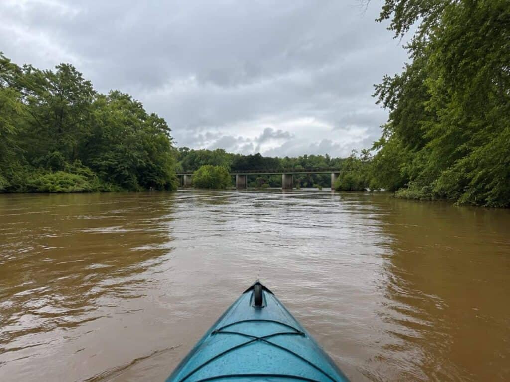
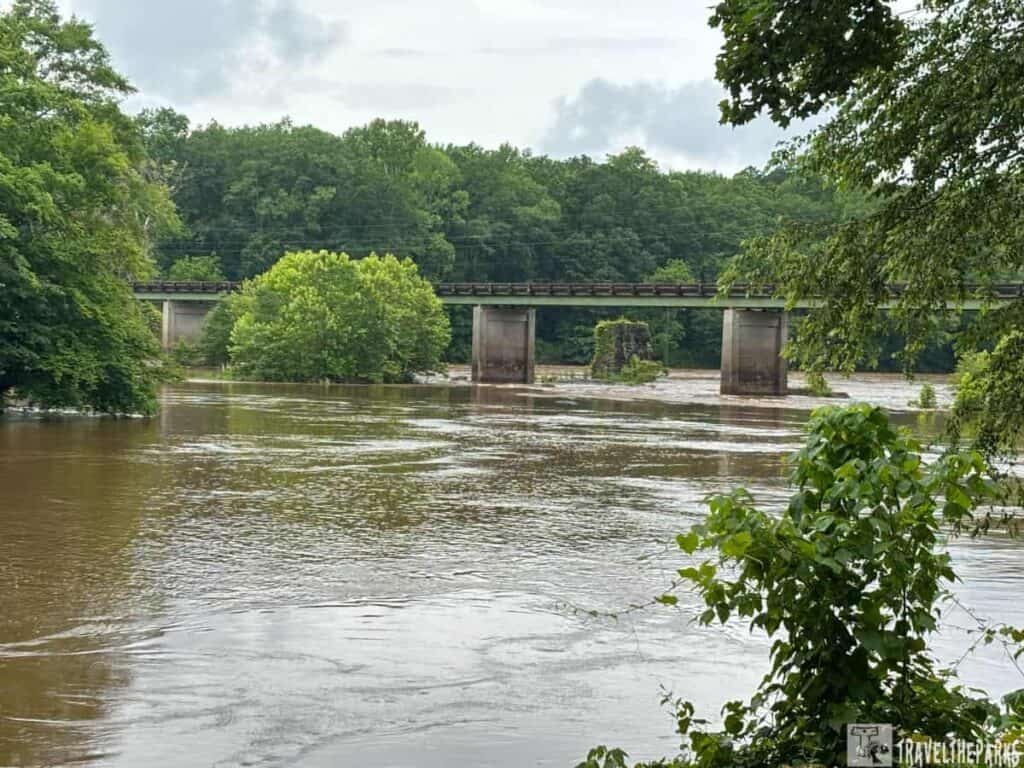
The park has a boat ramp on the south side of the Tallapoosa River Bridge, open dawn to dusk, and the fishing here is genuinely good. But the real gem for water lovers is the Harold Banks Canoe Trail—a 25-mile paddling route along the Tallapoosa that the NPS actually links to directly from the park’s own website, which tells you everything you need to know about how well it pairs with a visit here.
Harold Banks Canoe Trail
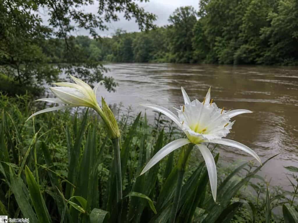
The section that runs through the park is the Horseshoe Bend float—widely considered the most scenic stretch of the entire trail. It’s a 6-mile, roughly 4-hour paddle that puts in at Horseshoe Bend Bridge and takes out at Jay Bird Creek. Along the way you’ll pass Peters Island, Laura’s Leap, and Irwin Shoals, and there are swift side chutes to duck into if a peaceful float suddenly feels a little too peaceful. There’s a public campsite at Jay Bird Creek if you want to stretch a day visit into a full overnight. Come between Mother’s Day and Father’s Day and you’ll catch patches of Cahaba lilies blooming in the shoals—a rare wildflower that only opens in the evening and only lasts 24 hours. Which, honestly, feels very on-brand for a river that’s been this quietly spectacular for centuries.
The water is generally Class I (easy), so it’s beginner-friendly as long as you check flow conditions beforehand. Alabama Power’s Harris Dam controls upstream water levels, so flow can change. Check the USGS gauge at the Horseshoe Bend Bridge before you put in. A discharge rate between 1,500 and 10,000 ft³/sec is the sweet spot.
As for rentals: if you didn’t happen to strap a canoe to your roof before leaving home (we did not), Off The Beaten Path Alabama is a kayak and canoe rental and shuttle service operating in east central Alabama that covers this trail. It’s run by a retired Extension Agent who has spent decades on these waterways, which is about as good a local credential as you can get. Worth looking up before your trip if paddling is on the agenda.
Hike the Nature Trail at Horseshoe Bend National Military Park
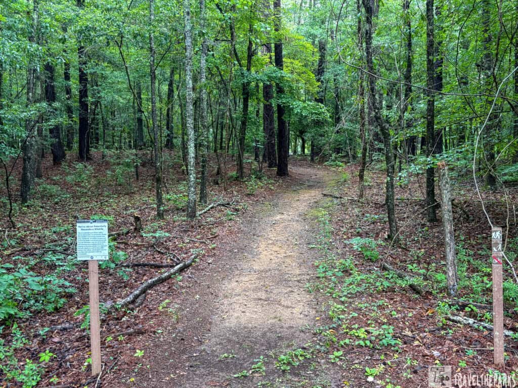
The nature trail at Horseshoe Bend loops for just under three miles around the peninsula where the battle played out, winding through woods and along the river in a way that lets you cover ground the soldiers actually crossed. It’s not a flat stroll—there are some ups and downs, especially near the riverbanks, but nothing that’ll wear out an average hiker. Along the way you’ll pass the artillery position, the single grave on the grounds, and those white markers that trace where the log barricade stretched across the neck of the land. The river shows itself through the trees in spots, particularly when winter thins the leaves, and the whole place is part of a birding trail, so don’t be surprised if you flush a turkey or spot something perched in the dogwoods. That said, a chunk of the loop is still closed from ice storm damage as of this spring, so the only open stretch right now runs from the overlook down to Tour Stop 4—worth asking at the visitor center before you set out. Bring your own water too, because there’s none out there, and make sure you’re back before the gate locks at five.
Know Before You Go: Horseshoe Bend National Military Park
- The park is located at 11288 Horseshoe Bend Road, Daviston, AL. GPS: 32.9767, -85.7341. Take Highway 49 north from the US-280 intersection for about 12 miles to reach the entrance.
- Free to get in. No entrance fee, no catch, no ‘suggested donation’ jar by the door.
- Operating Hours: The park grounds open at 8:00 AM and close at 5:00 PM daily. Closed Thanksgiving, Christmas, and New Year’s Day — so plan accordingly.
- The visitor center keeps slightly shorter hours: 9:00 AM to 4:30 PM. Don’t show up at 8 expecting coffee and exhibits.
- Check the official park website for seasonal changes.
- There is zero food on site. No café, no vending machine, no snack bar. Pack water and something to eat before you leave the car.
- Cell service can be spotty — download the NPS app or save offline maps before you arrive.
- Special Events: Each March, the park hosts a living history event commemorating the battle’s anniversary. Well worth timing your visit around.
- The park offers National Park Passport stamps at the visitor center — collectors, you’re welcome.
- Good news for the four-legged road trip crew. Horseshoe Bend is dog friendly. Pets are allowed on a leash no longer than 6 feet, including on the 2.8-mile nature trail.
- Groups can book battlefield tours and musket demonstrations ahead of time. Call 256-234-7111 to set it up.
- If you’re walking the nature trail, wear real shoes. It’s 2.8 miles of actual terrain, not a paved boardwalk.
Final Thoughts: Horseshoe Bend National Military Park
We’ve pulled off the highway for some pretty questionable roadside attractions over the years—a suspiciously large pecan, a mystery hole, a diner that claimed to have the world’s best pie and was definitely lying. Horseshoe Bend is the opposite of all that. It is a quietly significant place that asks you to spend a couple of hours and leaves you thinking about it for much longer than that.
It being free, maintained, and uncrowded, it is actually one of the best kept secrets of the Alabama road trip route. We would say do not sleep on it, but the context is such that using such an idiom just doesn’t seem to sit right. Just go.
Have you visited Horseshoe Bend National Military Park? Drop a comment below and tell us what surprised you most — or what we missed on our visit. We read every one!