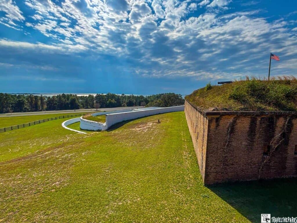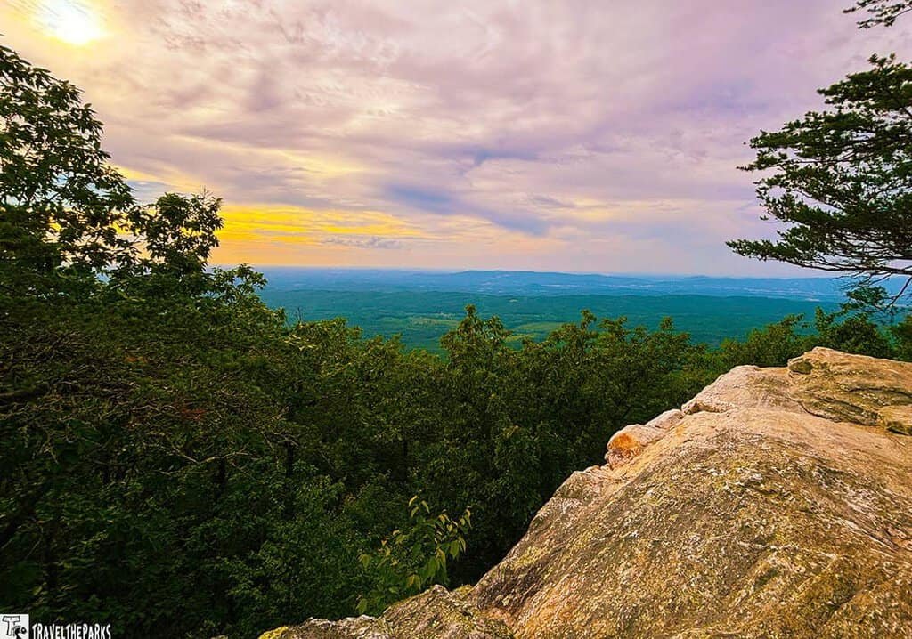
Truth be told, discovering Alabama national parks probably isn’t high on your travel list. Give us a minute to change that. The usual Alabama picture? Football rivalries. Air you can feel. Biscuits that ought to come with a warning. Not gonna lie—fair enough. All true. But tucked in between is a state with nine National Park Service units. Ancient Indigenous sites. Civil rights landmarks. Dramatic natural scenery.
Nine. Surprised us too.
We visited every one—from the Tallapoosa River bends to the Tennessee Valley. Found a state with more depth than it gets credit for. Battlefields that decided the Southeast’s future. A canyon deeper than most realize exists east of the Mississippi. Trails following forced removals. Sites that quietly shifted American history.
This is your guide to all the NPS sites in Alabama. Written by people who drove them, walked them, and got lost on a few two-lane roads along the way.

Table of Contents
A Brief History of Alabama’s Public Lands
So Alabama’s been a state since 1819. Officially, anyway. But the land was old news by then. People lived here for thousands of years before anyone drew a state line. The Mississippian culture built towns. Then came the rest—Europeans, forced removals, plantations, war, Reconstruction, the fight for civil rights. That’s a lot of layers. The Park Service manages nine sites in Alabama that try to make sense of it all.
Those designations came over time. Most happened in the last century. The federal system expanded to include more types of places—not just battlefields but also archaeological sites, historic buildings, and natural areas. Some western states have parks clustered in one scenic corner. The historic parks and scenic destinations aren’t clustered in one corner of Alabama. They’re spread out. So if you want to see all of them, plan for a proper road trip. This isn’t a weekend project.
Together, those nine sites cover a lot of ground—literally and figuratively. They tell the story of who lived here. Who fought here. Who got forced out. And what happens when you let a piece of land just exist. The range makes the state interesting. We’re talking about a cave shelter with ten thousand years of human use right alongside battlefields that decided the future of the Southeast. That breadth makes the state worth exploring deliberately. It’s also why we ended this trip with a lot more respect for Alabama than we started with.
Discovering Alabama National Parks: All Nine, One by One
This post may contain affiliate links, meaning if you purchase something through one of these links, we may earn a small commission at no extra cost to you! Read the full disclosure policy here.
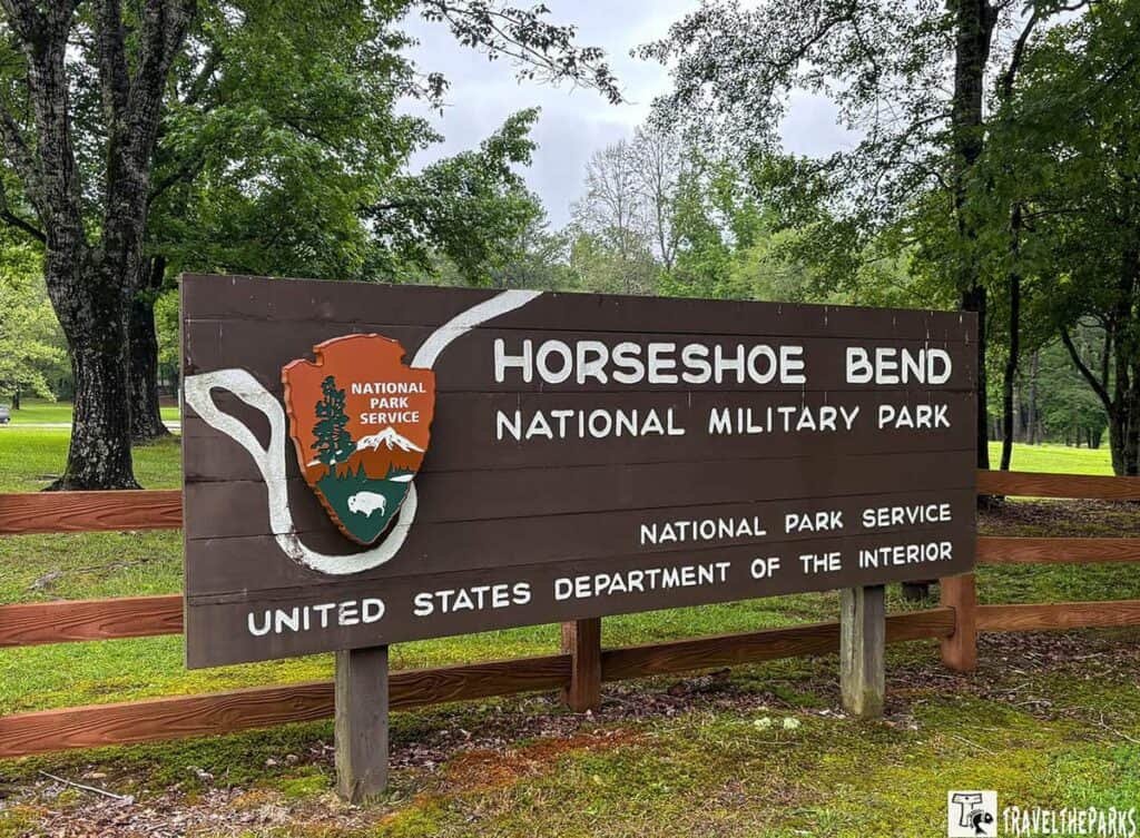
1. Horseshoe Bend National Military Park (Daviston)
Location: Tallapoosa County | Type: National Military Park
When the guns fell silent on March 27, 1814, the Creek War was done. The fighting went down on a timbered peninsula—a horseshoe bend in the Tallapoosa that looked like it was made for defense. But it didn’t matter in the end. Roughly eight hundred Creek warriors died, and once that happened, there wasn’t much fight left in the Southeast. What came next was a whole lot of people getting pushed off their land, and this battle only made that happen sooner.
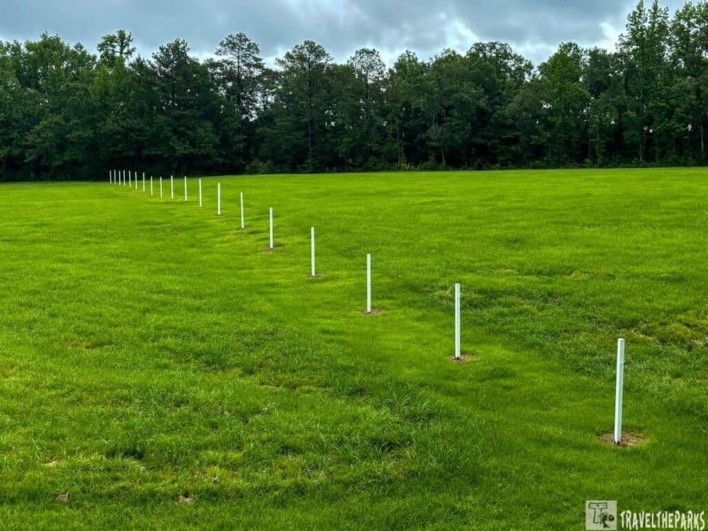
What You’ll See: The park preserves the battlefield with a three-mile loop trail through mature pine and hardwood forest. The trail crosses ridgelines that would have been fortified earthworks, passes through the open field where the main engagement occurred, and arrives at an overlook above the river bend—still recognizable two centuries later as the natural stronghold it once was.
Nature Worth Stopping For
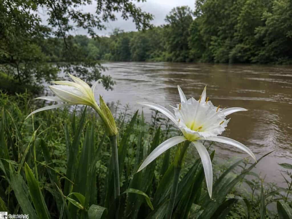
The Tallapoosa River is strikingly beautiful from the overlook, particularly in morning light when mist lifts off the water. The forest on the peninsula hosts a solid range of woodland birds, and the trail itself is genuinely pleasant—the history is heavy, but the walk is lovely, which is its own kind of contrast worth sitting with rather than rushing past.
Final Thoughts: A sobering site that does not flinch from complexity. Read ahead so the landscape means something when you arrive—the three-mile trail is worth every step.
2. Russell Cave National Monument (Bridgeport)
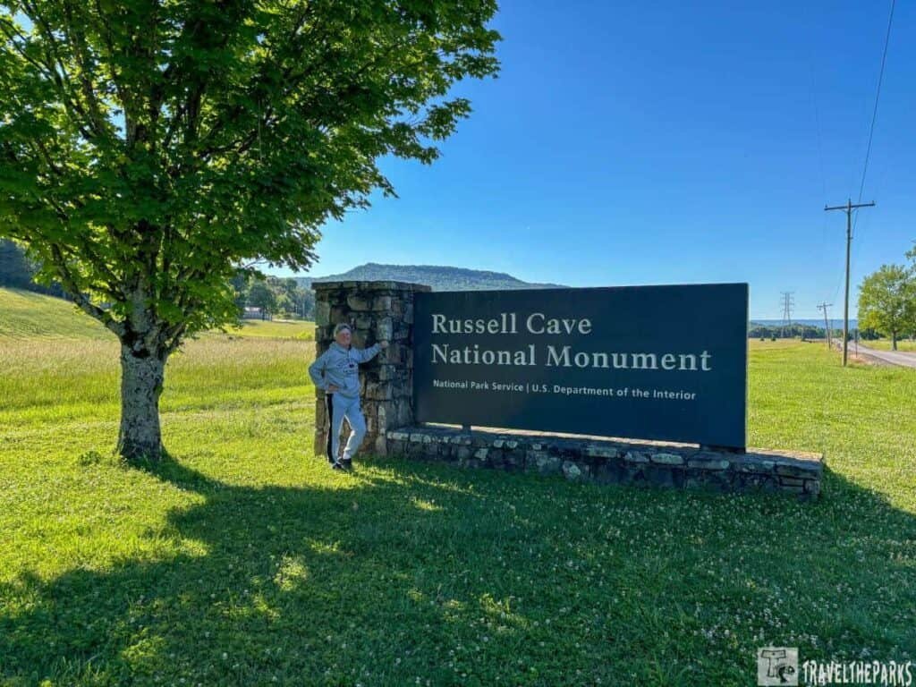
Location: Jackson County | Type: National Monument
Russell Cave holds one of the most complete records of prehistoric human occupation in the eastern United States. People sheltered here for roughly ten thousand years—from the Paleo-Indian period through the Woodland period. The archaeological layers tell a continuous story of human adaptation. When you stand at the cave mouth and do the math, the numbers hit you. The gap between now and the first people who sheltered here is only about half the time between those first settlers and the origin of the cave itself.
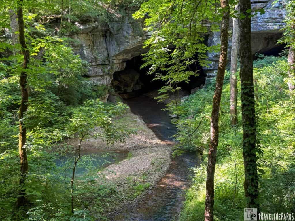
What You’ll See: An underground stream carved this large natural opening into a limestone bluff. That stream still flows through the cave today. A short boardwalk leads into the cave mouth, where interpretive exhibits explain the archaeology. A one-mile nature trail winds through the surrounding forest. It’s a pleasant complement to the cave visit and worth taking slowly.

Nature Worth Stopping For
Moss and fern cover the rocks near the cave mouth. You’ll even find liverworts tucked into the damp spots—they don’t grow in the drier forest around it. The stream that shaped this place still runs out of the cave, clear and cold no matter the season. A one-mile trail winds through the woods nearby. Wildflowers pop up along it in spring. People drive here for the cave. The trail makes the stop better.
Final Thoughts: Small but genuinely fascinating. The archaeological depth here is staggering when you let yourself think about it—ten thousand years of continuous human shelter in a single location.
3. Little River Canyon National Preserve (Fort Payne)
Location: DeKalb and Cherokee Counties | Type: National Preserve
This is where discovering Alabama national parks gets visually dramatic. Few gorges east of the Mississippi go as deep as Little River Canyon. The river responsible for it begins and ends entirely on Lookout Mountain’s summit—geologists still find that odd. The canyon environment impresses by any standard.
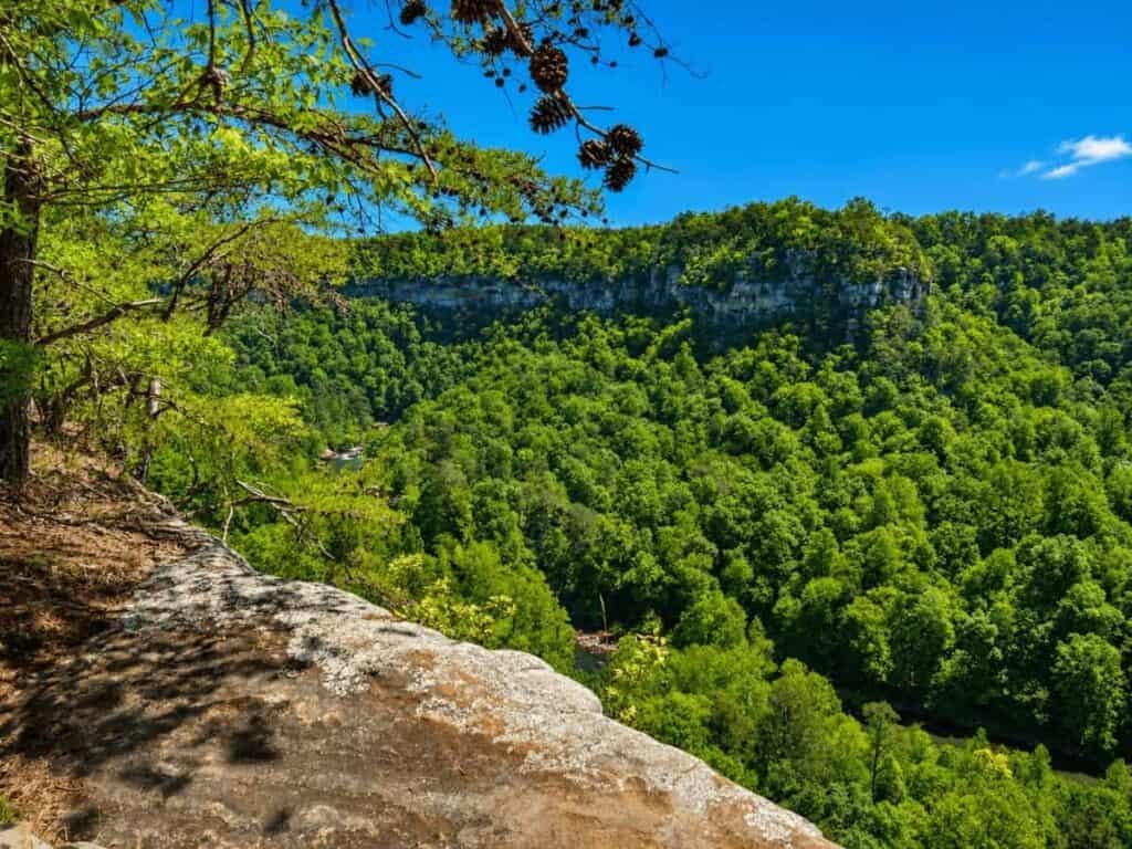
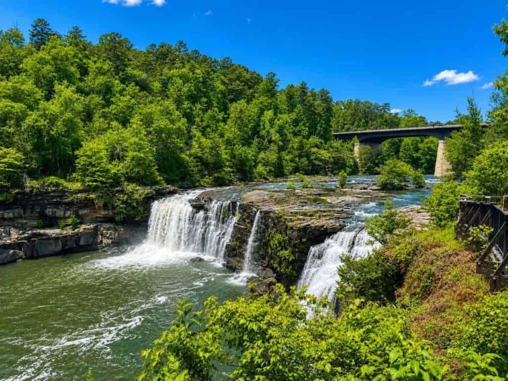
What You’ll See: The rim drive runs along the canyon edge for roughly eleven miles. Overlooks drop several hundred feet to the river below. Those sandstone ledges catch rain and send it over the edge in falls. The rock walls read like a history book—ochre, rust, tan, each layer a different chapter. Trails switchback down from the rim. The air gets cooler step by step. The soundscape shifts entirely to moving water and its echoes.
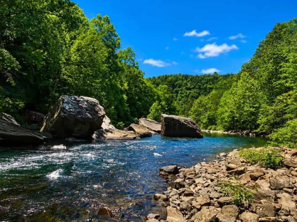
Nature Worth Stopping For
The water quality here stands out—Little River runs clean enough to rank near the top in the Southeast. That keeps rare mussels and fish species alive here that you won’t find elsewhere. Spring brings wildflowers to the canyon rim. May brings cerulean warblers and their migrating kin. October delivers a decent show of fall color. Our plan was a couple hours. The canyon had other ideas. That happens when a place is worth your time.
Final Thoughts: Alabama’s most visually striking landscape, full stop. If weather cooperates, get into the canyon itself—the rim drive is great but the descent to the river is better.

4. Tuskegee Airmen National Historic Site (Tuskegee)
Location: Macon County | Type: National Historic Site
Between 1941 and 1946, Moton Field in Tuskegee was where history was made twice simultaneously. First, the military proved—somewhat reluctantly—that Black pilots could fly combat missions with full effectiveness. Their success helped push the military toward desegregation. Truman ordered it in 1948.

What You’ll See: You can still see Moton Field. The original hangars. The same landscape. The museum fills in the stories—these men went on to become doctors, lawyers, pilots, public servants. The flight line is still there too. That’s where the trainees practiced takeoffs and landings under a level of scrutiny most flight schools never demanded. Walk it sometime. That pavement holds a heavy story.

Nature Worth Stopping For
The airfield sits open and agricultural. The Alabama sky stretches wide—that’s why they picked this spot for flight training. It still feels appropriately unobstructed today. The surrounding Macon County countryside rolls gently, heavily wooded, and quiet. That quiet reminds you how isolated this program was. It happened far from the centers of national attention at the time.
Final Thoughts: One of the most quietly powerful sites in the entire NPS system. Allow enough time to absorb it fully rather than moving through quickly—it earns the unhurried visit.

5. Tuskegee Institute National Historic Site
Location: Macon County | Type: National Historic Site
Pull into Tuskegee University’s campus and you’re standing on ground that matters—one of the most significant historic parks in Alabama. Booker T. Washington planted a flag here in 1881. The school started with nothing but a vision and an empty lot. Students built the place from nothing, firing bricks and raising buildings themselves. That campus became a powerhouse—Black education, Black scholarship, Black leadership, all centered here. Its reach went well beyond Alabama.
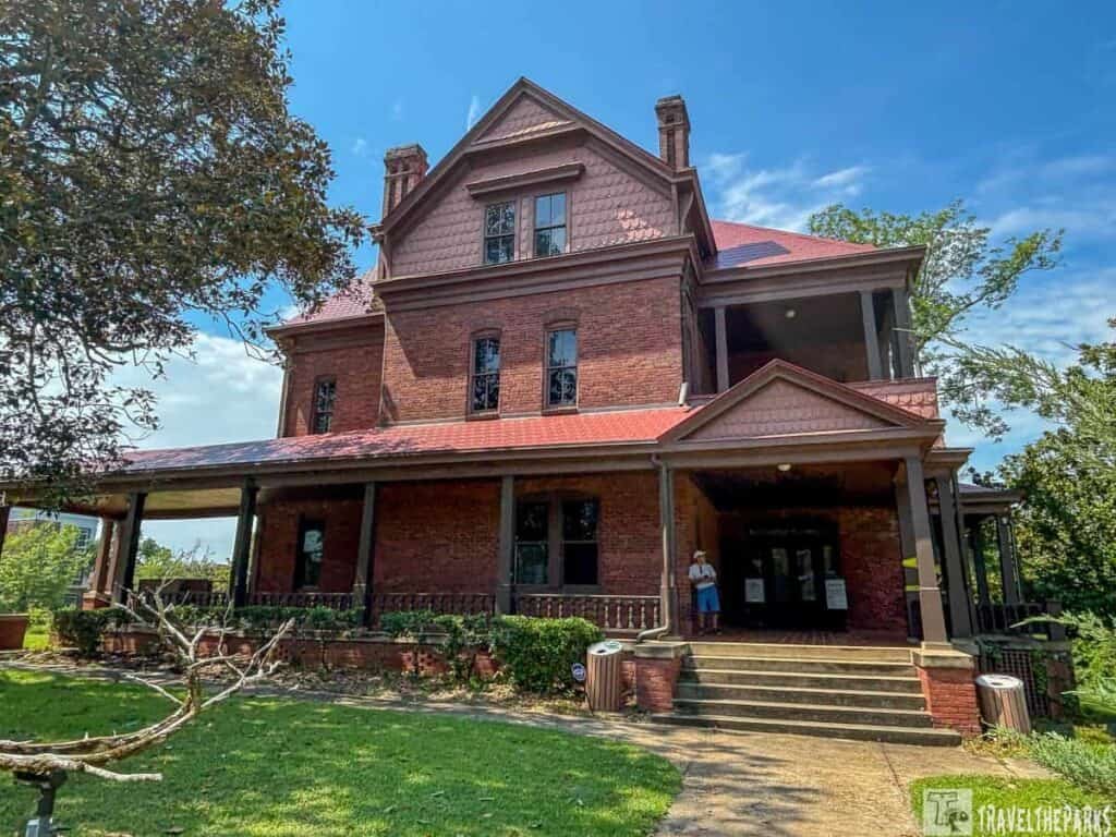
What You’ll See: Booker T. Washington’s home, The Oaks, is open for guided tours. Carver’s museum sits nearby. He studied peanuts, sweet potatoes, and depleted soil—and turned all of that into solutions that revived Southern farming. The region had been farmed hard for generations and needed new approaches. You can see a partial reconstruction of Carver’s lab. The exhibits rank among the best we saw on this whole trip.
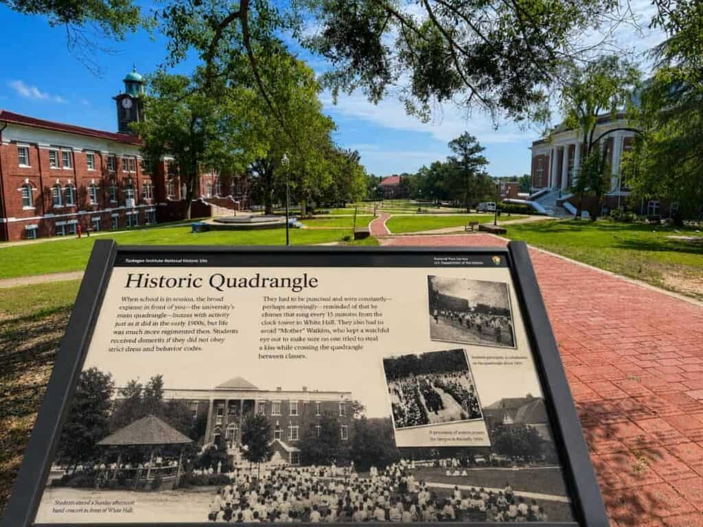
Nature Worth Stopping For
The campus is beautifully landscaped, with mature trees lining brick walkways that have the unhurried quality of a place that has been cared for over many decades. Carver’s own horticultural work is memorialized in the grounds, and it rewards a slow walk between the buildings—look at what is planted and think about who chose it.
Final Thoughts: Both Tuskegee sites belong on the same day. Their stories are layered, essential, and worth a full afternoon. Don’t shortchange them.

6. Birmingham Civil Rights National Monument
Location: Jefferson County | Type: National Monument
The Children’s Crusade started in Kelly Ingram Park. Spring 1963. Kids walked out and walked into police dogs and fire hoses. That September, a bomb destroyed 16th Street Baptist Church. The images went everywhere. The country saw the violence. The Civil Rights Act of 1964 came out of that national reckoning.
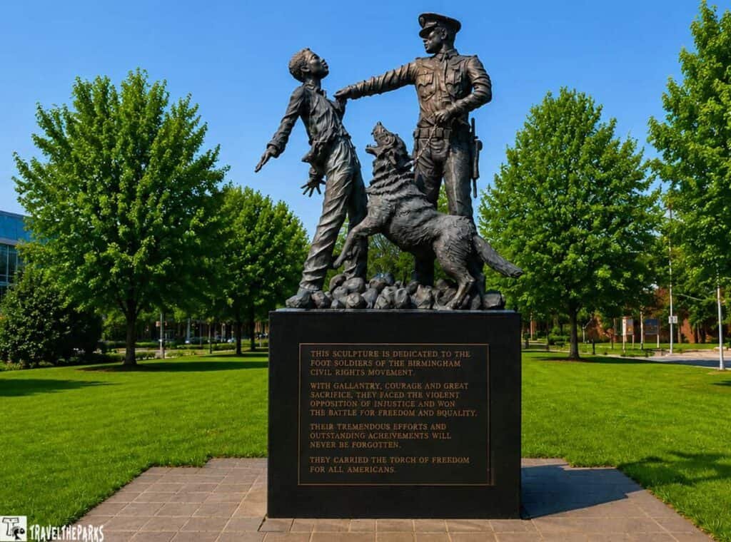
What You’ll See: You’ll see bronze sculptures in the park—fire hoses, police dogs, reminders of what they turned on children in 1963. No gentle treatment here. They are not subtle. They are not meant to be. The 16th Street Baptist Church stands directly across the street from the park. It was there that four girls died in the September bombing. Yet the church remains active—still a congregation, still standing.
Nature Worth Stopping For
Kelly Ingram Park is a genuine green space in urban Birmingham, well-maintained and used by residents daily. The juxtaposition of ordinary city park life—lunch breaks, dogs being walked, kids on the grass—against the gravity of the sculptures creates a striking and entirely appropriate effect. History lives in active use here, not behind glass.
Final Thoughts: Combine with a visit to the Birmingham Civil Rights Institute directly across the street. Allow the full afternoon—some sites demand it, and this is one of them.
7. Freedom Riders National Monument
Location: Anniston, Calhoun County | Type: National Monument
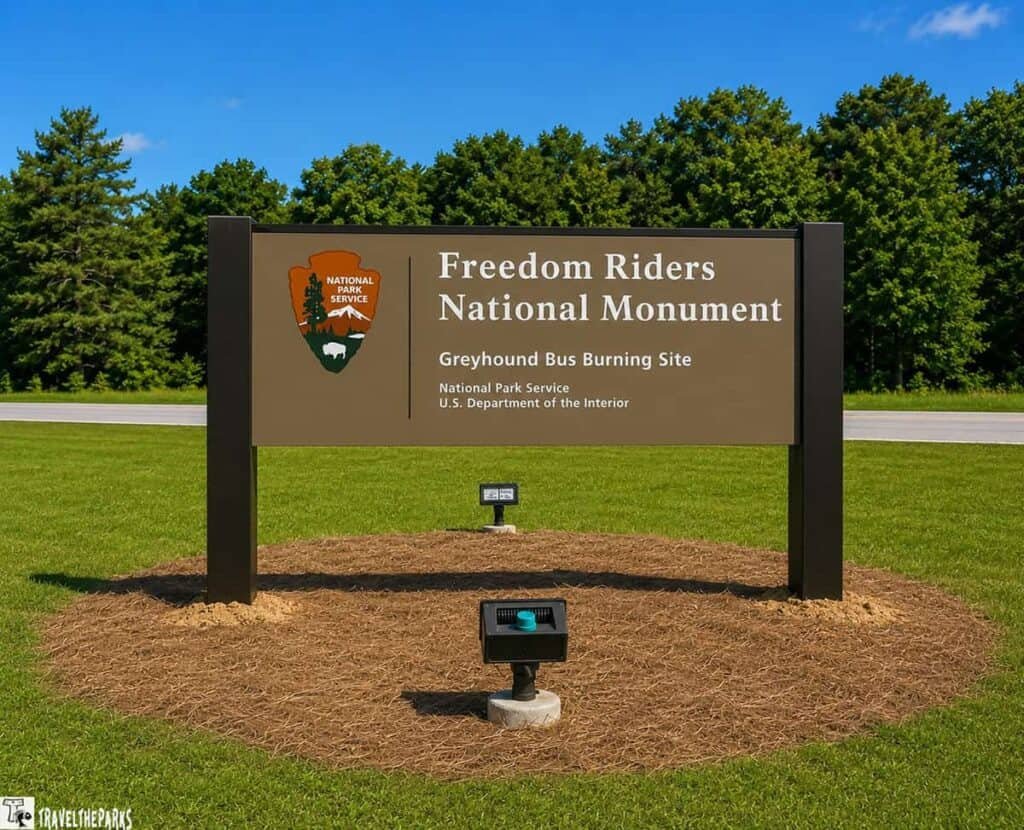
Here’s what happened. May 1961. A group of Black and white activists boarded buses in D.C. They were testing segregated facilities in the South. They reached Anniston and someone firebombed one of the buses. Riders escaped the flames and got beaten. Now it’s the Freedom Riders National Monument. Designated in 2017. The old bus station marks the spot. The monument holds the story too—the Rides didn’t stop.

What You’ll See: The monument is still taking shape as a visitor destination. That said, the ground itself carries weight. Just being recognized and protected matters. Pair Anniston with a stop at the Museum of Natural History nearby. It’s unexpectedly good—the kind of regional museum that catches people off guard.
Nature Worth Stopping For
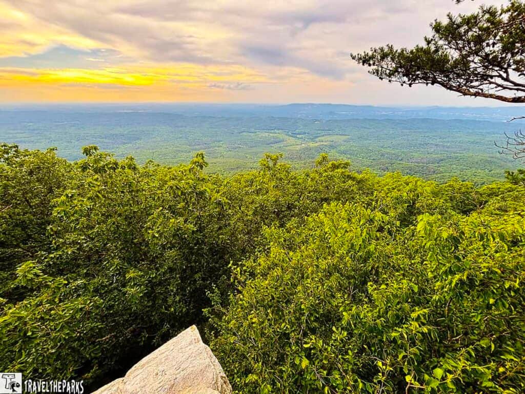
The Piedmont rolls through here. Forested hills frame the town. Talladega National Forest sits just west. The area offers solid outdoor options. Anniston deserves more time than most travelers give it.
Final Thoughts: An important site whose interpretive development continues. Check for updated programming before you visit, and pair it with the natural history museum across town.

8. Selma to Montgomery National Historic Trail
Location: Dallas, Lowndes, and Montgomery Counties | Type: National Historic Trail
They crossed the bridge on March 7, 1965. State troopers and county possemen met them on the other side. The violence that followed earned that day its name—Bloody Sunday. Photos hit the front pages. Television news ran the footage. That public exposure shifted things in a way years of organizing hadn’t. 1965 changed the law of the land with the Voting Rights Act—but you can still walk the proof of how it happened. The 54-mile trail from Selma to Montgomery traces the actual ground covered by marchers after Bloody Sunday, when a third march finally completed the route under federal guard. Every mile of it stands as a memorial to the people who made that walk possible.
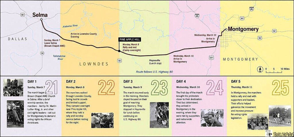
What You’ll See: The trail is interpreted through markers at key locations along the route—the bridge itself, campsites along the highway corridor, the Lowndes County Interpretive Center, and the state capitol steps in Montgomery where the third march concluded. The trail tells its story through markers at key locations—the bridge, campsites, the Lowndes County center, and Montgomery’s capitol steps. Even a short walk shifts how you understand the history. Those miles land differently when you’re the one covering them.
Nature Worth Stopping For
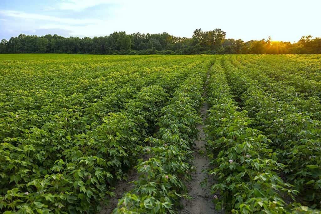
This trail runs through the Alabama Black Belt. The name comes from the dark prairie soil that fueled plantation agriculture before the Civil War. Afterward, the region fell into deep economic hardship. The terrain opens up here—broad sky, no cover. You’d feel watched walking it. That’s what marchers dealt with. Spring wildflowers line the ditches in March and April.
Final Thoughts: Stand on the bridge. Walk at least a mile of the route. This is one of the most important commemorative trails in the country and it earns the full, unhurried visit completely.
9. Natchez Trace Parkway: Alabama Segment
Location: Colbert County | Type: National Parkway
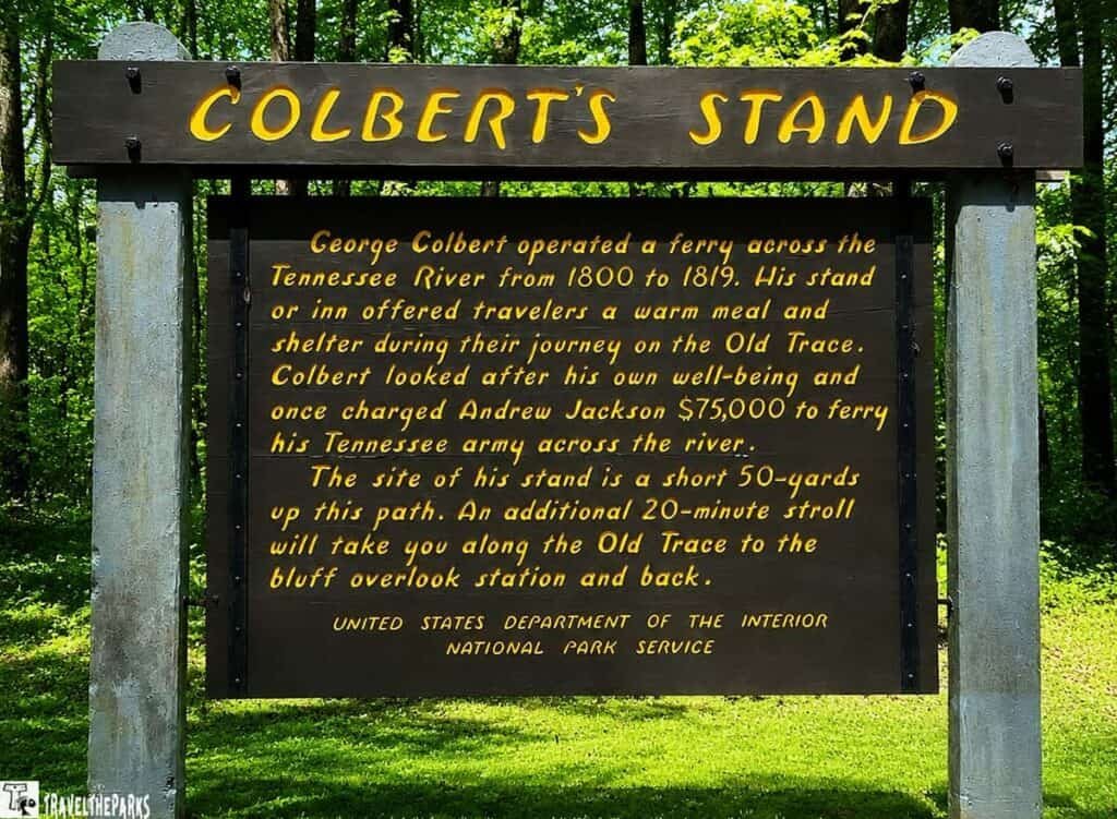
The Natchez Trace Parkway runs 444 miles, Natchez to Nashville, and Alabama only catches the northwest corner of it—barely a bite, really, but it’s a good one. Hardwood forest the whole way. A meadow opens up and there’s a deer just standing there, not even spooked. No gas stations. No billboards. Nothing reminding you you’re still in 2026. After three hours on I-65 your shoulders are somewhere up around your ears, and this stretch is the first place they drop.
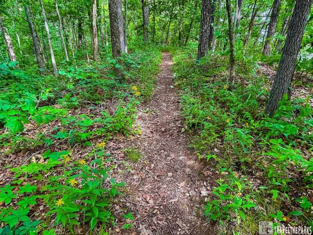
What You’ll See: The Trace follows an ancient path used by Native Americans for centuries, then by settlers, boatmen, and soldiers moving between the Ohio Valley and the lower Mississippi. Find one of the original sunken sections and walk it. The ground dips several feet below the surrounding forest—millions of footsteps over hundreds of years did that—and it gets you, somehow, in a way you don’t expect walking into it. Canopy shuts out the sky. Road noise just stops. You’re standing in the middle of something that’s still alive, still being walked.
Nature Worth Stopping For
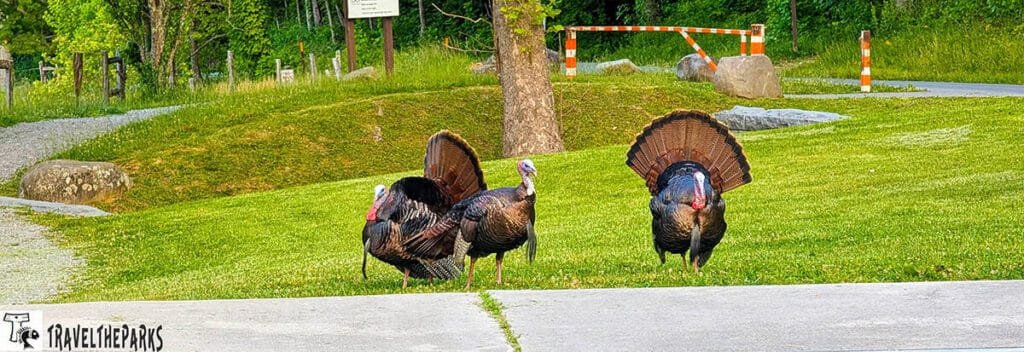
The spring migration is the real draw here—the hardwood corridors hold woodland birds all year, but spring’s when the place gets loud with them. You’ll see wild turkey most trips. Deer too, and if you’re lucky, a red fox slipping across the road ahead of you. Fall color’s nothing like New England—no pyrotechnics, nobody’s driving four hours for it—just amber and rust drifting down, which honestly fits the place better.
Final thoughts: I almost skipped this stretch—figured a parkway clipping one corner of one state wasn’t worth the detour. Wrong call. Park the car, walk the sunken trace for ten minutes, and you’ll get it. Pack a sandwich if you’re smart. Worth the slower pace, no question.
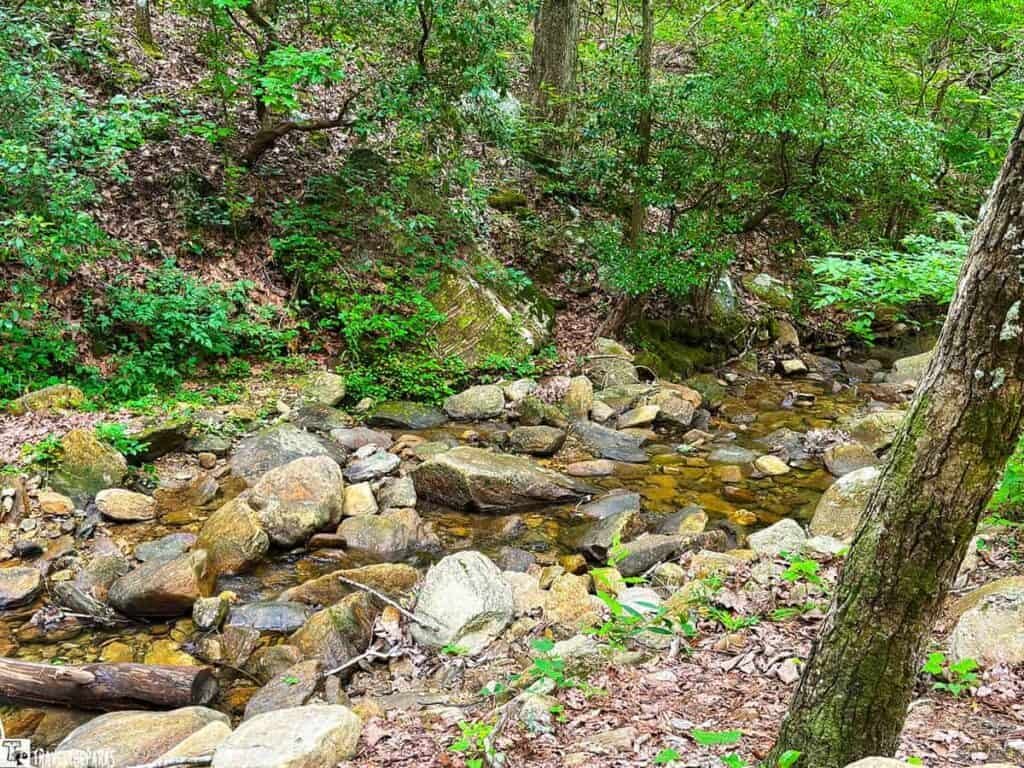
Final Thoughts: Discovering Alabama National Parks
We came into this project with a checklist and a general goodwill toward Southern road travel. We left with genuine affection for a state that carries an enormous amount of history—some of it painful, some of it inspiring, some of it genuinely ancient—with more thoughtfulness and less self-promotion than we expected.
Discovering Alabama national parks is not a single-weekend project. The nine NPS units in Alabama don’t cluster conveniently. Cell service in the northern Alabama parks and the rural trail segments can be unreliable—download your maps before you leave the interstate. Bring more water than you think you need. The summer humidity is not a character flaw of the weather; it is simply a fact of life below the 35th parallel, and dressing accordingly is the correct response.
But go. Alabama rewards the curious traveler in ways that states with more obvious national profiles sometimes do not. It does not oversell itself. The history is simply there in the landscape, waiting for you to slow down enough to notice it. Thousands of years of human experience, all in one state. That’s worth the drive.
Your turn—what’s your favorite National Park site in Alabama? Or is there one we missed that deserves more attention? Let us know in the comments.