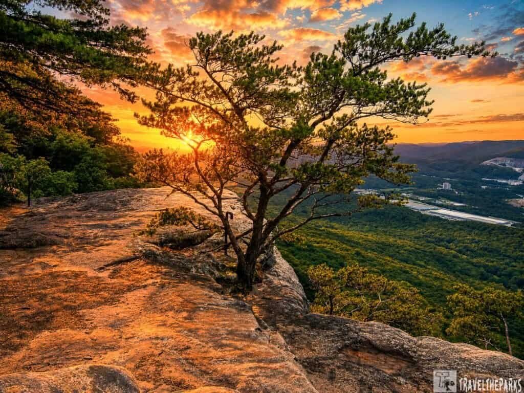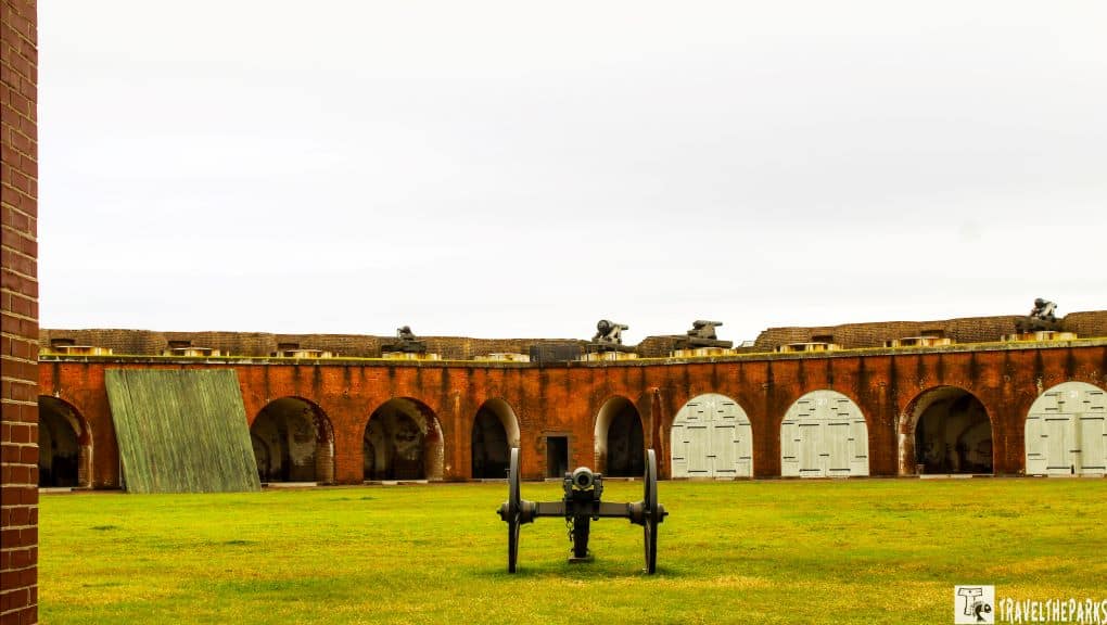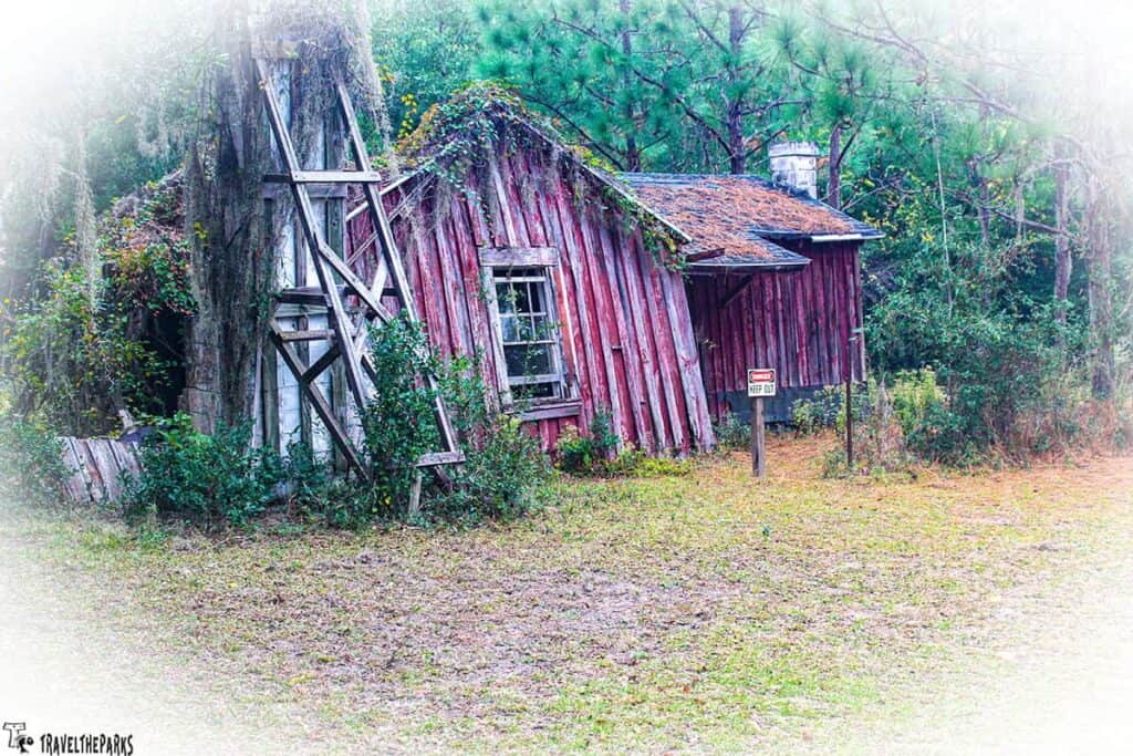
We’ve hiked plenty of trails where the main attraction is the view—a summit, a waterfall, a panoramic overlook. The Allatoona Pass Battlefield Trail is different. The payoff here isn’t just what we see. It’s what we feel. Just us, the trail, the trees, and a whole lot of history waiting to be noticed. If you’re looking for a free Civil War battlefield trail that doesn’t feel like a tourist trap, this is it.
Standing at the bottom of that railroad cut, looking up at rock walls towering overhead, it hit us pretty fast: this place has seen things. Serious things. A Civil War battle that left thousands of men killed, wounded, or missing in just a few brutal hours. A train chase that became the stuff of legend. A signal tree that once flashed messages all the way to Kennesaw Mountain.
And here’s the kicker—we just walked right through it. No entrance fee. No crowds. Just us, the trail, the trees, and a whole lot of history waiting to be noticed.
We found Allatoona Pass near Cartersville, Georgia, bordering Lake Allatoona, winding through one of the best-preserved Civil War battlefields in the state. It’s not a long hike, and it’s not particularly strenuous—though a few stairs and climbs got our hearts going. But it’s the kind of trail that rewards patience. The slower we walked, the more we stopped to read the interpretive signs, the more we let ourselves imagine what it must have sounded like here on October 5, 1864.
This post may contain affiliate links, meaning if you purchase something through one of these links, we may earn a small commission at no extra cost to you! Read the full disclosure policy here.
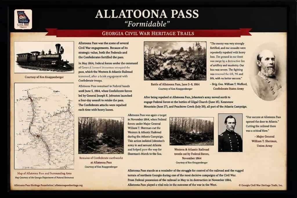
Table of Contents
What Happened Here: The Battle of Allatoona Pass 1864
Atlanta had just fallen to Sherman in September 1864. Confederate General John Bell Hood, not quite ready to call it a season, moved his Army of Tennessee northward to threaten Sherman’s supply line along the Western and Atlantic Railroad. The railroad ran through Allatoona Pass — a massive cut through solid rock roughly 175 feet deep—and whoever controlled it controlled the flow of food, ammunition, and supplies.
On October 5th, Confederate General Samuel French marched over 3,000 men to Allatoona with orders to destroy the pass and burn the nearby river bridge—and get back to Hood the very next day. That was a 96-mile round trip through enemy territory in under 48 hours. Even without Google Maps, that sounds ambitious.
General John Corse and his reinforced Union garrison refused to surrender and dug in at the Star Fort on the western ridge and a second redoubt on the eastern side. The fighting lasted about eight hours. When the smoke cleared, more than 1,500 soldiers had been killed, wounded, or captured out of roughly 5,000 engaged—a casualty rate of around 30 percent. French pulled his troops back. The railroad held. The pass never fell.
The battle also inspired the well-known hymn “Hold the Fort” by Philip Bliss, written from the signal exchange between Sherman’s station on Kennesaw Mountain and the besieged garrison below. It became one of the more sung hymns of the late 19th century. Not bad for a railroad skirmish.
Know Before You Go
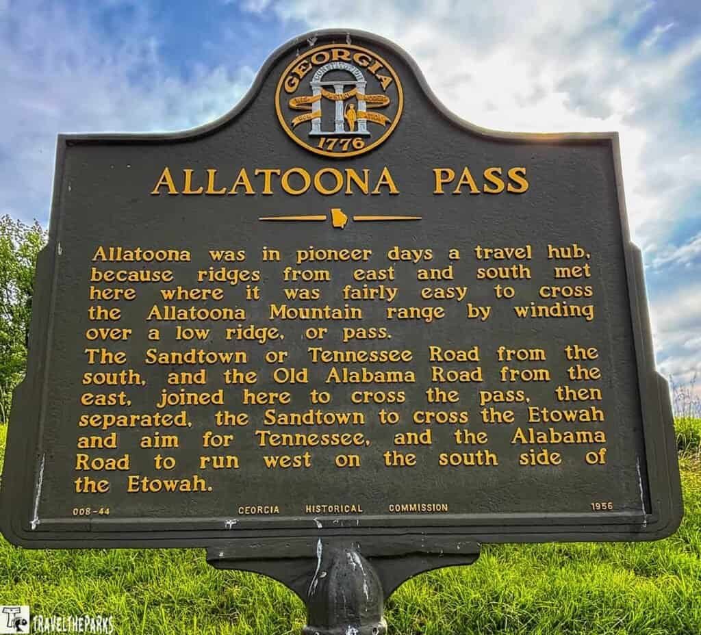
A few basics before you set out on this Allatoona Pass trail near Cartersville GA:
- Getting there: Take Exit 283 (Emerson-Allatoona Road) off I-75 and follow the signs east about 1.5 miles to Old Allatoona Road. You genuinely cannot miss it.
- Admission: Free. Parking is free. No ticket booth, no ranger station pestering you. Just a gravel lot and some history. The Georgia State website has a map.
- The trail: About 1.7 to 2 miles out-and-back, rated easy, with around 200 feet of elevation gain. Most people finish it in under an hour. It winds through shaded woods past earthworks, the railroad cut, and interpretive panels.
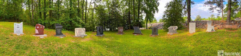
- Memorial Field: Right at the trailhead, eleven carved stone markers represent every regiment and battery that fought here, Union and Confederate alike. Worth a few quiet minutes before you hit the trail.
- The railroad cut: This thing was blasted through solid rock in the 1840s and still looks like something out of a movie set. When you stand at the bottom of it, the scale of what was being defended suddenly makes sense.
- The Clayton-Mooney House: An antebellum plantation house on the site that served as a field hospital during the battle.
- Dogs: Welcome, on a leash. The trail is shaded and manageable for most dogs. Bring water for them because the Georgia heat does not negotiate.
- Best season: Fall and winter give you better visibility through the trees, which actually matters when you are trying to picture troop movements on the ridgelines. Summer works fine but don’t forget the essentials for your trip, including water bottles, sunscreen, bug spray, comfortable walking shoes, and a hat for your outdoor adventures.
- Cell service: Spotty in the cut and on the lower trail sections. Download an offline map if you want one, though honestly you will not need it.
- Open year-round: No posted hours, no seasonal closures.
Allatoona Pass Battlefield Hike Overview: More Than a Walk in the Woods
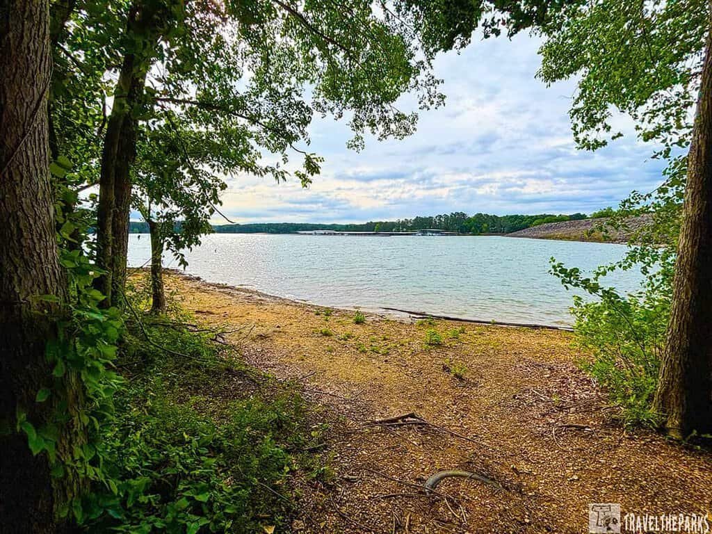
We started at a parking lot near an earthen dam on Lake Allatoona. Right away, we spotted a memorial representing each of the states that had soldiers fighting in the battle. Interesting fact we learned: no Georgia troops fought here. It was mostly Midwesterners facing off against Confederates from the Deep South.
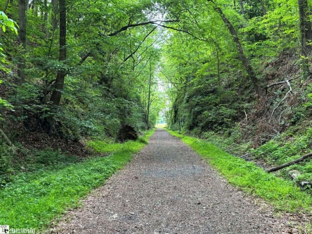
From the parking lot, we had a choice—head straight into “the cut,” that massive man-made gorge carved through the hillside, or take the gravel road up and start with the hilltop views. We chose the cut first. There was something about walking into that deep trench, the rock walls rising on either side, that set the tone for the whole experience.
The cut itself is a feat of 19th-century engineering. We learned that slaves and local laborers dug through soft topsoil and then blasted through solid rock to create a passage for the railroad. Standing at the bottom, we felt impossibly small. And when we learned that this exact spot became the center of a bloody battle, with thousands of men fighting for control of that railroad line, the weight of the place settled in on us.
Beyond the cut, the trail split in a few directions. We could climb the stairs to the Star Fort, where Union troops made their last stand. We could follow the path to the Crow’s Nest, where a massive tree once served as a signal tower. Or we could walk along the lakeshore and let the peacefulness of the water contrast with the violence that once unfolded here. We did all three.
The Cut: Walking Through the Railroad Gorge
The centerpiece of this trail is the railroad cut. When we walked into it, the temperature dropped. The light changed. The sound of the outside world faded away.
It was eerie, honestly. We could imagine the confusion and chaos of battle echoing through that narrow passage. Men fighting hand-to-hand, guns firing in close quarters, the smell of smoke and blood hanging in the air. The interpretive signs along the way helped us piece together what happened, but the cut itself did most of the storytelling.
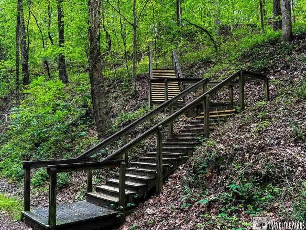
The trail through the cut is mostly flat, packed dirt. It’s accessible for just about anyone who can walk. But the real magic happened when we climbed the stairs on either side. Up top, we could see the Star Fort—an earthen redoubt built by Union engineers to defend the pass. It’s surrounded by entrenchments and offers a view of the surrounding hills.
The Star Fort and Earthworks
The Star Fort was the place we spent the most time on this Allatoona Pass Battlefield hike. It’s a small, earthen fortification on the hilltop, and it’s where the Union troops made their final stand. From here, we could see exactly why it was so hard for the Confederates to take the pass. The fort overlooks the railroad cut and the surrounding terrain. Any attack would have been uphill, exposed, and brutal.
A wooden walkway now crosses the entrenchments, and interpretive signs explain the battle in detail. We stood there for a while, trying to imagine what it must have been like for the Union soldiers crammed inside, running low on ammunition, hearing the Confederates closing in. The view from the top is beautiful now—trees, lake, open sky. But knowing what happened here changed the way we saw it.
The Crow’s Nest and Signal Tree
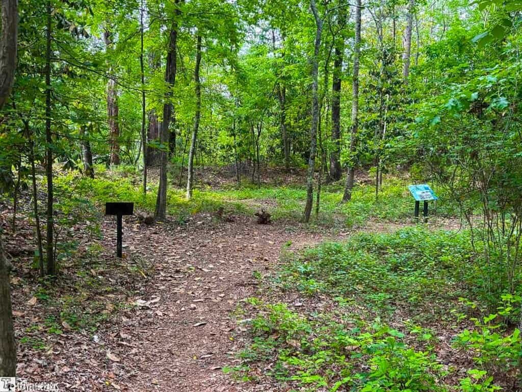
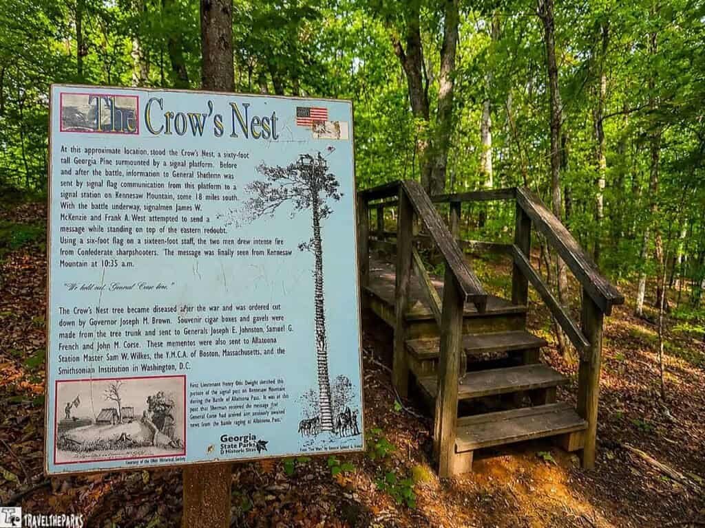
We followed a side trail that led to a spot called the Crow’s Nest—the remains of a signal tree that once served as a communications tower. We learned that during the battle, soldiers used a complex flag system to send messages to Sherman’s headquarters at Kennesaw Mountain, about 18 miles away. Telegraph lines were vulnerable to being cut, so they relied on flags.
The tree itself is long gone, but the spot still felt significant. Standing there, we imagined the signalman up in the branches, flags waving, trying to relay news of the battle. Sherman’s message—”tell Allatoona hold on”—came through this system.
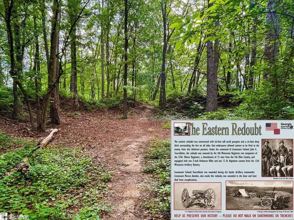
The Eastern Redoubt: A Second Line of Defense
Beyond the Star Fort, we explored more of the surviving earthworks, including the Eastern Redoubt. This smaller defensive position helped protect the eastern side of the railroad cut and added another layer to the Union defenses.
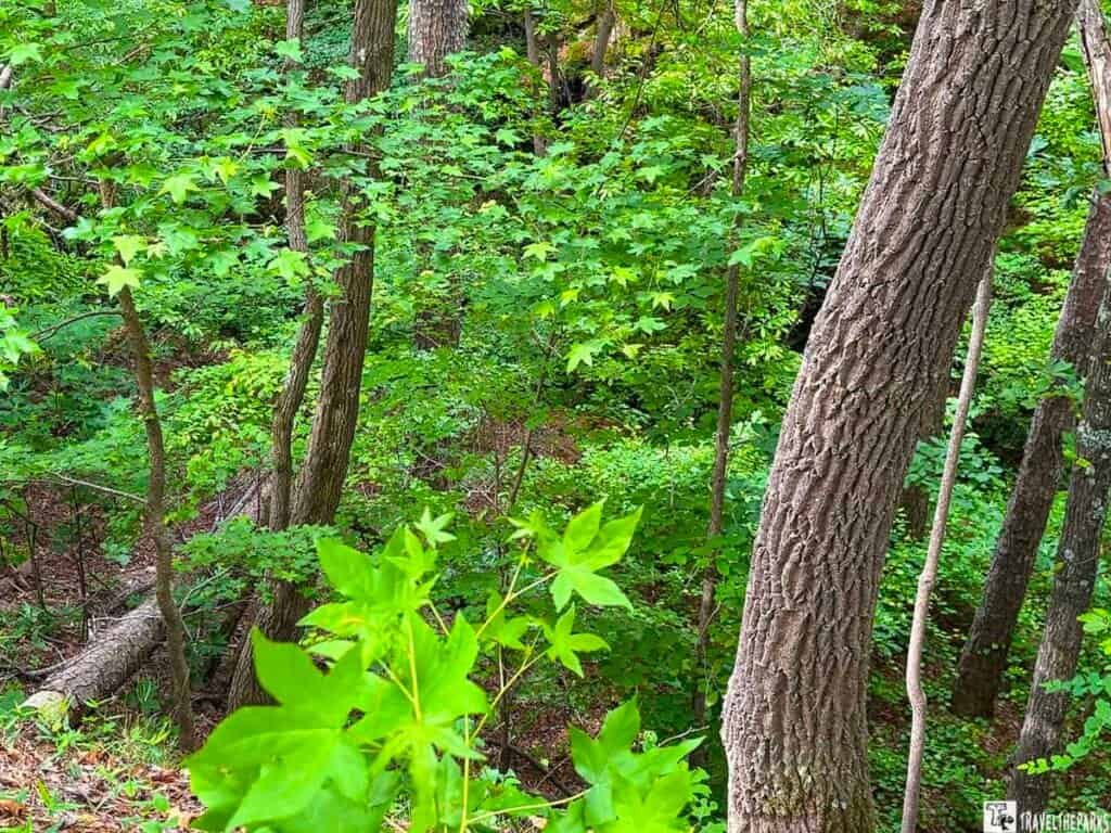
Walking among the remaining trenches, it was easy to see how the terrain worked in the soldiers’ favor. The steep hills, narrow pass, and carefully built fortifications transformed this quiet landscape into a difficult position to attack.
Today, the earthworks are peaceful and overgrown, but they tell the story of the planning and engineering that went into holding Allatoona Pass.
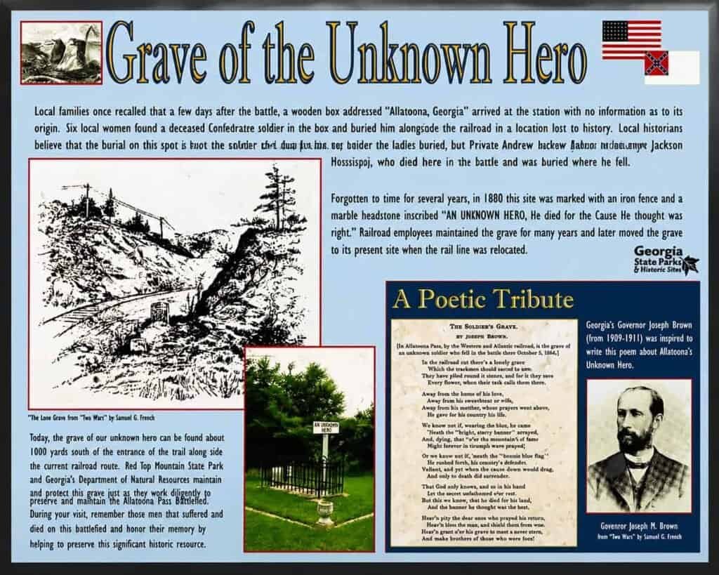
The Grave of the Unknown Hero
A short walk down the railroad bed led us to the original site of the Grave of the Unknown Hero. Just a small marker now—a reminder of the soldier buried here, later moved when Lake Allatoona was built. Easy to miss if we hadn’t been paying attention. But stopping there, reading the marker, thinking about the person beneath it, added another layer to the whole walk.
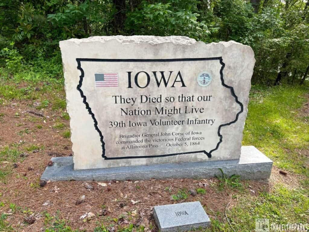
The Memorial Area: Remembering the Soldiers
Before leaving, we stopped again at the memorial area, which brought the battlefield’s story back to the people who fought here.
The Battle of Allatoona Pass involved about 5,000 soldiers on October 5, 1864, with heavy casualties on both sides. After walking through the railroad cut and standing among the earthworks, the memorials added a more personal connection to the history.
The battlefield shows the strategy of war, but these markers remind visitors of the individuals who endured the fighting.
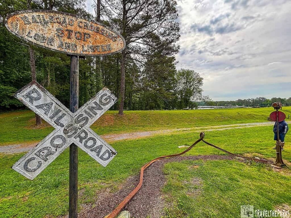
Sherman’s Necktie: A Railroad Turned Battlefield Weapon
One of the more unique features at Allatoona Pass is Sherman’s Necktie, a reminder of how important the railroad was during the Civil War.
After capturing or moving through areas, Union troops often destroyed railroad lines to prevent Confederate forces from using them. Soldiers heated sections of track until the iron became flexible, then twisted them around trees—creating what became known as “Sherman’s Neckties.”
Seeing this piece of railroad history tucked among the trees was a reminder that Allatoona Pass was about more than one battle. It was part of the larger fight to control the supply routes that connected Atlanta to the Confederacy.
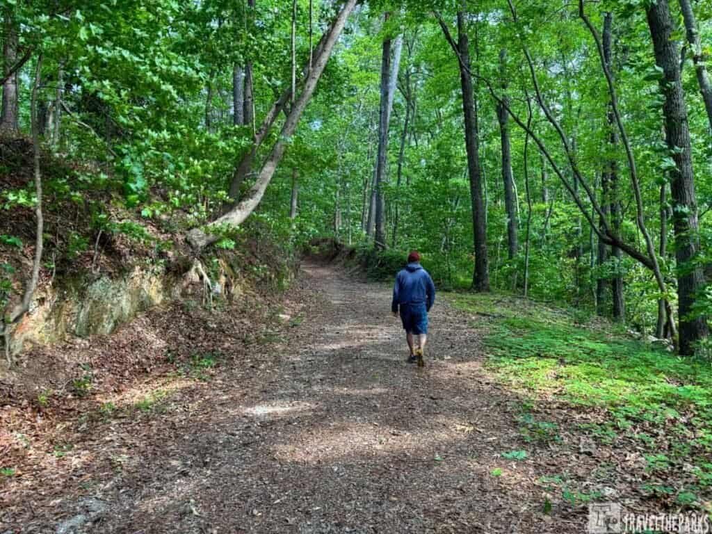
Our Favorite Memory Allatoona Pass Battlefield
We visited on a crisp October morning. The parking lot was nearly empty. Walking into the cut, we just stopped and listened—wind through the trees, a distant boat on the lake, and nothing else.
At the Star Fort, we sat on a bench and watched a deer wander through the woods below, unaware of what happened here 160 years ago. That contrast—the peace of now against the violence of then—stayed with us.
Before leaving, we stopped at the Grave of the Unknown Hero. Small marker. Easy to miss. But it reminded us that this wasn’t just a battle. It was people.
Walking out, the lake sparkled in the morning sun. Allatoona Pass isn’t just a hike. It’s a history lesson. A memorial. A quiet place to remember.
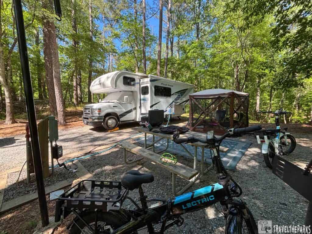
Stay Nearby: Red Top Mountain State Park
If you want to make a full stop out of this stretch of Georgia, Red Top Mountain State Park is right next door and worth every night you spend there. It’s a natural pairing—spend the morning on the Allatoona Pass Battlefield hike, then spend the afternoon on the lake. The park sits along Lake Allatoona with wooded campsites, waterfront cabins, and enough hiking trails to keep you busy well past dinner. We pulled in for one night and stayed two—the lake views from the shoreline trail in the morning are genuinely hard to leave.
Red Top Mountain is also the managing agency for the Allatoona Pass Battlefield site, so rangers there can point you toward the trailhead and fill you in on the history before you walk it. Reservations are a good idea on weekends, especially in fall, when the leaves turn and everyone in metro Atlanta has the same idea.
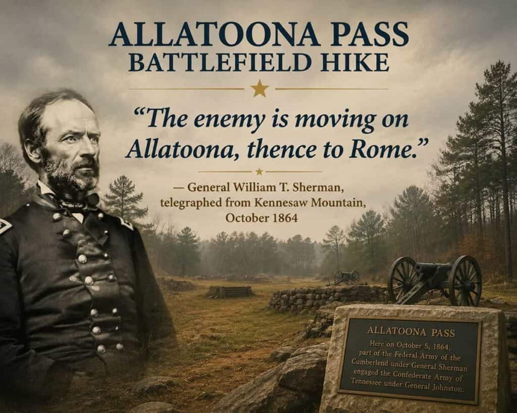
Final Thoughts: Allatoona Pass Battlefield Hike
Allatoona Pass is the kind of place that earns its reputation quietly. There is no gift shop, no audio tour, no trolley to ride. Just trees, earthworks, a deep rock cut, and interpretive panels that let the history speak without overselling it. We walked the whole trail in about 50 minutes, stood in the Star Fort for a while longer than we expected to, and left feeling like we actually understood something about that October morning in 1864.
For a road trip stop, it checks every box. Free, easy to find, takes under two hours, and gives you something real to talk about over dinner. The earthworks have barely changed in 160 years. The railroad is gone—relocated in the 1940s before the lake was created—but the ridgelines, the cut, and the forts are all still there. That level of preservation is genuinely rare, and it makes Allatoona Pass one of the better unplanned detours we have made on any trip.
Have you done the Allatoona Pass Battlefield hike or camped at Red Top Mountain? Drop a comment below and tell us what we missed—we’re always looking for the next reason to take the long way.