When travelers dream of open roads, they usually picture California surf or the kitsch of Route 66. But Virginia deserves a spot in that conversation. With more than 3,000 miles of designated scenic blacktop—including five federal National Scenic Byways and nearly 222 state-sanctioned Virginia Byways—the state offers an eclectic mix of terrain. One moment you’re winding through the Blue Ridge Mountains, free of traffic lights for a hundred miles; the next, you’re cruising a short 23-mile parkway that links three of the most historically charged sites in the country.
This guide is meant to be the starting point—the one post to bookmark before you build out the rest of a Virginia road trip. We’ll cover the big-name byways that anchor most itineraries, a handful of quieter routes most visitors miss entirely, and the practical stuff (seasons, fees, tunnel clearances) that actually matters once you’re behind the wheel.
This post may contain affiliate links, meaning if you purchase something through one of these links, we may earn a small commission at no extra cost to you! Read the full disclosure policy here.
Table of Contents
Why Explore Virginia’s Scenic Byways?
Interstates get you there fast. That’s about it. Virginia’s scenic byways do the opposite. They make you slow down. They wind past old barns, roadside produce stands, and cemeteries where the stones lean every direction. You’re not just passing through. You’re actually seeing where you are.
Virginia has more nationally recognized scenic roads than any other mid-Atlantic state—five in all. But the designations aren’t the point. The point is how these roads shift your attention. They pull your eyes off the dash and into the landscape. Around the next bend, there’s always something—a view, a detour, a town you’ve never heard of.
That’s the real draw. Not efficiency. Not speed. Just a road that rewards you for looking.
Top Scenic Byways in Virginia
Here’s something that catches people off guard: Virginia has five federally designated National Scenic Byways or All-American Roads—more than any other state along the mid-Atlantic coast. That’s your starting point. Pick any of those routes and you’re already on the right track.

Skyline Drive (Shenandoah National Park)
Take Skyline Drive. It stretches 105 miles along the Blue Ridge crest. Beginning in Front Royal down Through to Waynesboro. This section has roughly 70 overlooks that basically demand you pull over and stare. The speed limit maxes out at 35 miles per hour, so you’re forced to slow down—like it or not. And because it’s inside Shenandoah National Park, you’ll need an entrance pass to get on it. Silver lining? The southern end links right up with the Blue Ridge Parkway at Rockfish Gap—so you can keep those mountain views rolling as long as you want. Just keep an eye out for Marys Rock Tunnel. It’s the park’s only vehicle tunnel, and it clears at 12 feet 8 inches. If you’re in a tall rig, measure twice before you commit.
Blue Ridge Parkway
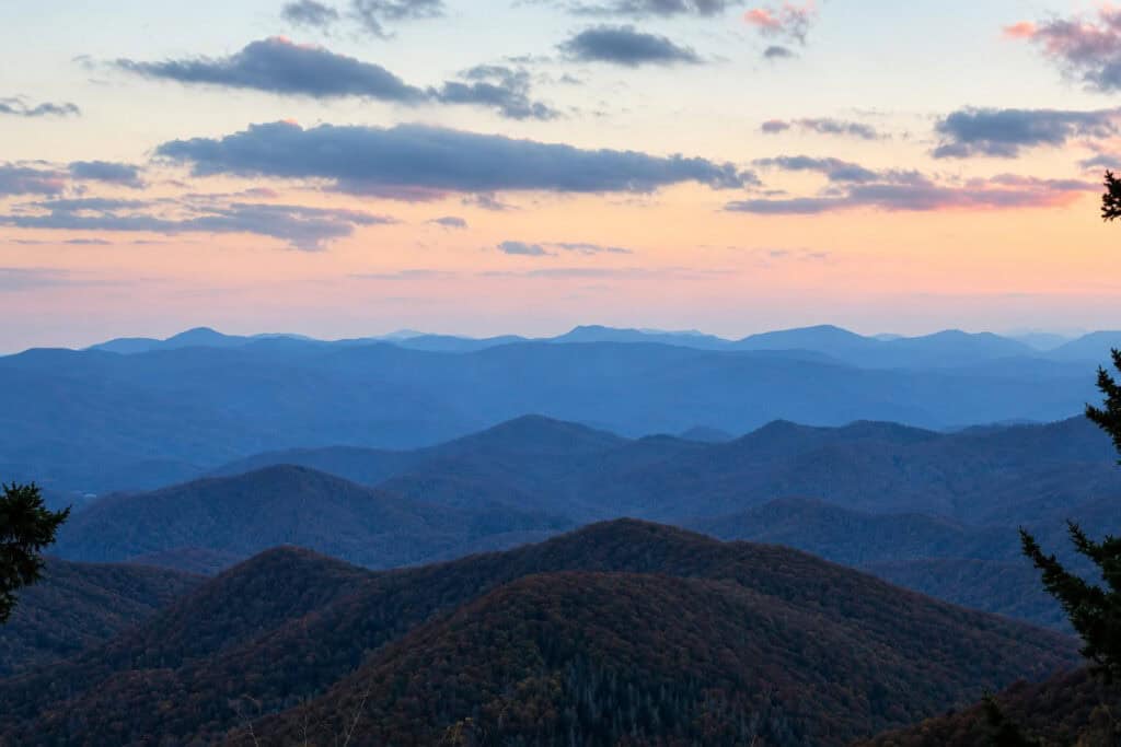
They call it “America’s Favorite Drive”—and honestly, it’s not hard to see why. The Parkway stretches 469 miles total from Shenandoah National Park all the way down to the Great Smoky Mountains. But here’s the thing—only the northern chunk is in Virginia. That’s roughly mile markers 0 to 217, from Rockfish Gap down to the North Carolina line.
One nice difference from Skyline Drive? No entrance fee. None. You just get on and go. And if you’re in a bigger rig, the Virginia section is noticeably more forgiving — no tunnels, wider curves, easier navigation. The North Carolina stretch farther south? That’s a different story. Twenty-five tunnels down there, with clearances dropping as low as 10 feet. So if you’re hauling something tall, the Virginia side is definitely the friendlier option.
The highlight stop on the Virginia portion? Peaks of Otter. Don’t skip it. You’ll thank me later.
Colonial Parkway: The Historic Triangle
This one’s worth building a whole trip around. No question.
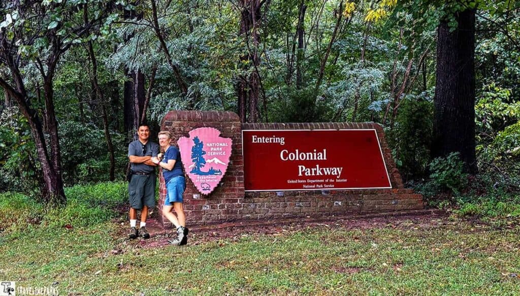
Twenty-three miles of road that links three of the most significant spots in early American history. Jamestown. Williamsburg. Yorktown. The Colonial Parkway ties them all together, running from the James River across to the York River. The National Park Service spent more than two and a half decades constructing it—and honestly, you can feel the care in every mile. This isn’t your standard highway. No lane markings. No billboards and no visual clutter. Just a textured concrete surface and brick-lined bridges and tunnels that give the whole drive a timeless feel.
Since it falls under Colonial National Historical Park, the NPS handles maintenance—not the state. So the whole experience stays consistent with that national park vibe.
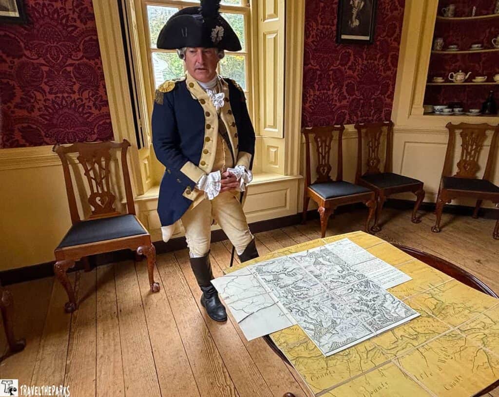
Here’s the thing about this drive—in one stretch of road, you pass through three pivotal moments in American history. Jamestown, 1607—where the English first planted roots that stuck. Williamsburg, the colonial capital is now a preserved as a living-history museum. This is where you can actually walk through the 18th century. And Yorktown, is where the British finally threw in the towel in 1781. All of that packed into 23 miles. Not bad for an afternoon’s drive.
If you’re already making your way through our national parks content, this is the road that connects Virginia directly to that bigger story. Don’t let it slip by.
Journey Through Hallowed Ground
This one’s a little different. It’s not just a Virginia road—it starts up in Gettysburg, Pennsylvania, and winds its way down through Maryland before dipping into Virginia. But the Virginia stretch? That’s where it really delivers.
US-15 carries this route for the better part of 180 miles. Once you hit Virginia, it passes through Leesburg and Culpeper before finally winding down around Monticello and Charlottesville. And history? It’s everywhere. Battlefields where soldiers marched. Plantation houses that have stood since before the country was even a country. Vineyards crawling up hillsides. Tiny towns that seem to have hit pause somewhere around 1920 and never hit play again.
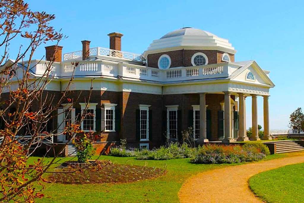
But the real hook here? The presidents. Three of them. Monticello—Jefferson’s mountaintop home. Montpelier—where Madison lived and worked. Ash Lawn-Highland—Monroe’s place. All of them sitting right along or just off this same corridor in central Virginia. You can knock out three presidential homes in one drive. Find me another road that can say that.
If you’re a history buff—and I mean a real one—this byway was made for you.
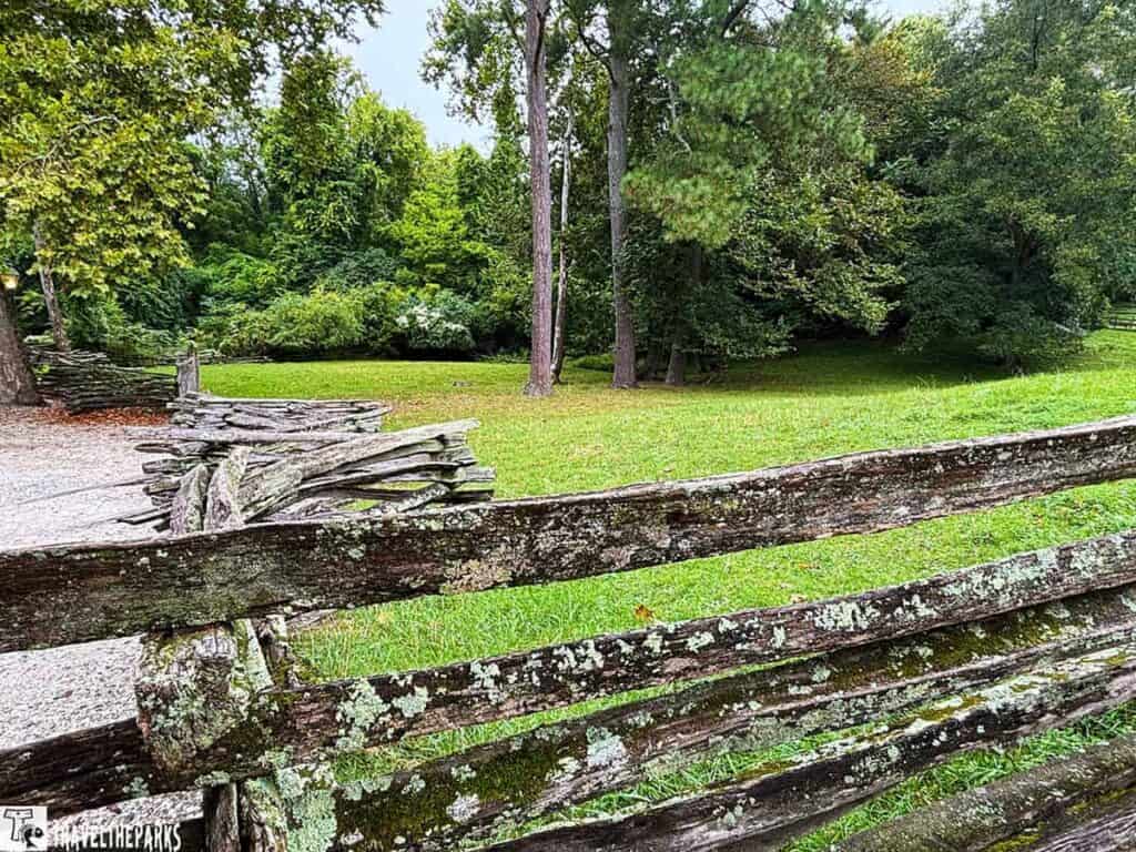
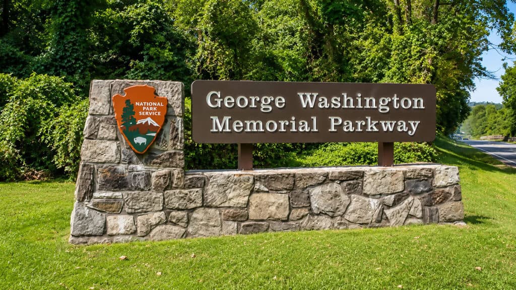
George Washington Memorial Parkway
This one’s a different animal. Not a mountain road. Not a backcountry retreat. It’s a scenic urban cruise along the Potomac — and it works.
Twenty-five miles, give or take. NPS runs the whole stretch. It begins at Mount Vernon, slips through Old Town Alexandria, and doesn’t stop until it reaches Great Falls Park, just shy of the Beltway. It’s got an All-American Road badge, and it didn’t get that by accident.
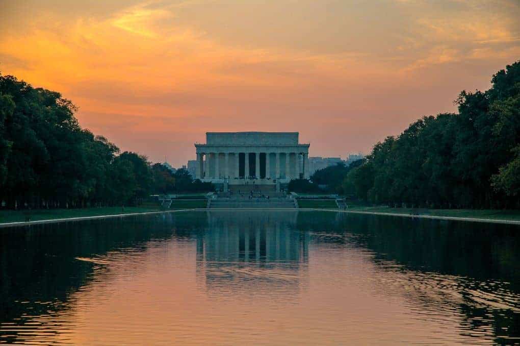
Best part? The view. You’re looking straight across the river at the D.C. skyline—the Monument, the Capitol dome, all of it sitting there like a postcard. Arlington Cemetery is along the way too, and it’s worth a stop.
Now the catch. Don’t bring the RV.
Not because the road’s too tight. Not because of bridges or tunnels. Because of the traffic. That DC-area sprawl is no joke. They don’t allow commercial trucks on this stretch, and that alone tells you what they’re protecting. If you’re towing anything large, skip it. Set up camp somewhere nearby, leave the rig behind, and take the car out for the afternoon. You’ll actually enjoy yourself instead of sweating through stop-and-go with a trailer hooked on.
Hidden Gems Along Virginia’s Byways
The Crooked Road
Route 5: The James River Plantations
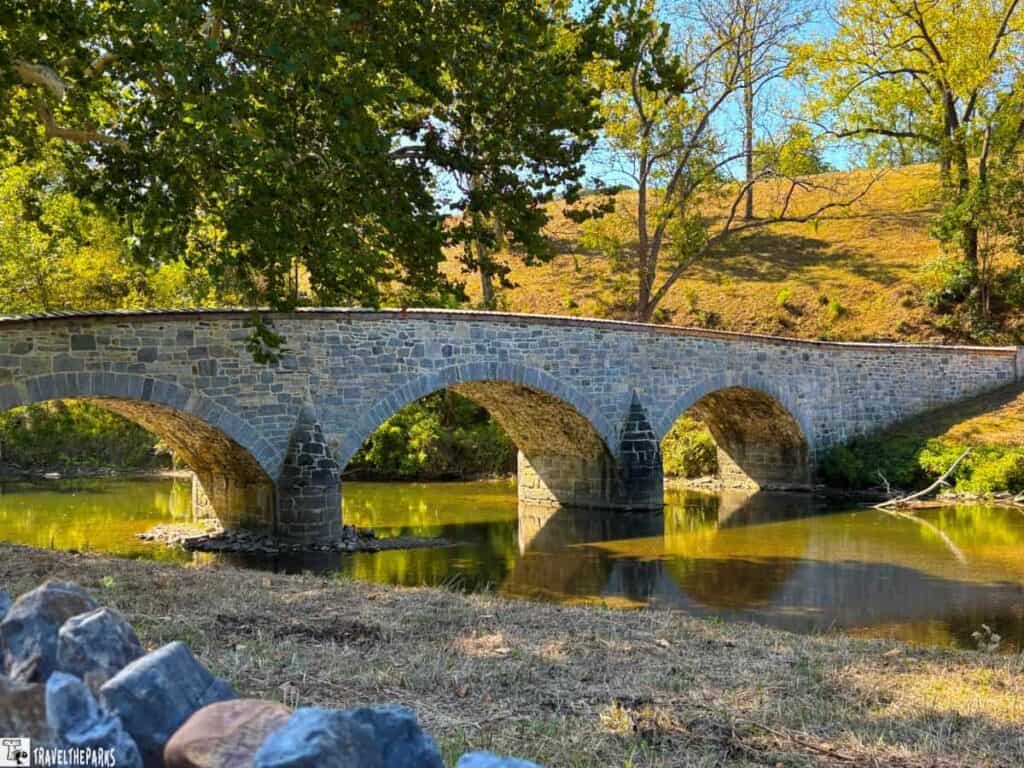
This one flies under the radar. Fifty-five miles of two-lane blacktop that runs from Richmond over to Williamsburg, cutting straight through Charles City County. And it’s lined with history—five plantation homes that have been standing since 1726, give or take. Some of the oldest, most intact estates in the state, just sitting there along the river like they’ve been waiting for you to show up.
The road runs parallel to the Virginia Capital Trail, which is this paved path that cyclists love. So if you’re into biking, you could make a whole day of it—drive one way, bike the other, or just wave at the riders as you cruise past.
What I like about this route is how close it sits to the Historic Triangle. You’re practically right there. So you could easily loop this into a longer trip that includes Jamestown, Williamsburg, and Yorktown without going far out of your way.
Chesapeake Bay Bridge-Tunnel & Virginia’s Eastern Shore
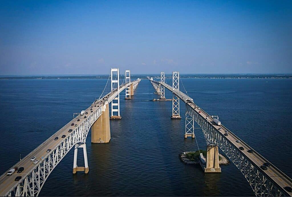
Twenty-three miles of bridge and tunnel that launch you out of Hampton Roads and under the Chesapeake Bay. Twice. You drive along the bottom while cargo ships pass overhead. It’s the kind of thing that makes you wonder who thought of it.
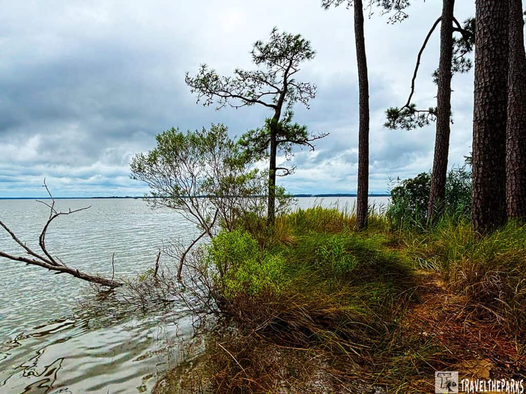
On the other side? Completely different world. The Eastern Shore is Virginia’s quiet underbelly — the opposite of the Outer Banks. Barrier islands, fishing villages, coastline that most people blow right past. Which is exactly why it’s worth the detour.
Bridge-tunnel’s the showstopper. But the shore is the payoff.
Mount Rogers Scenic Byway
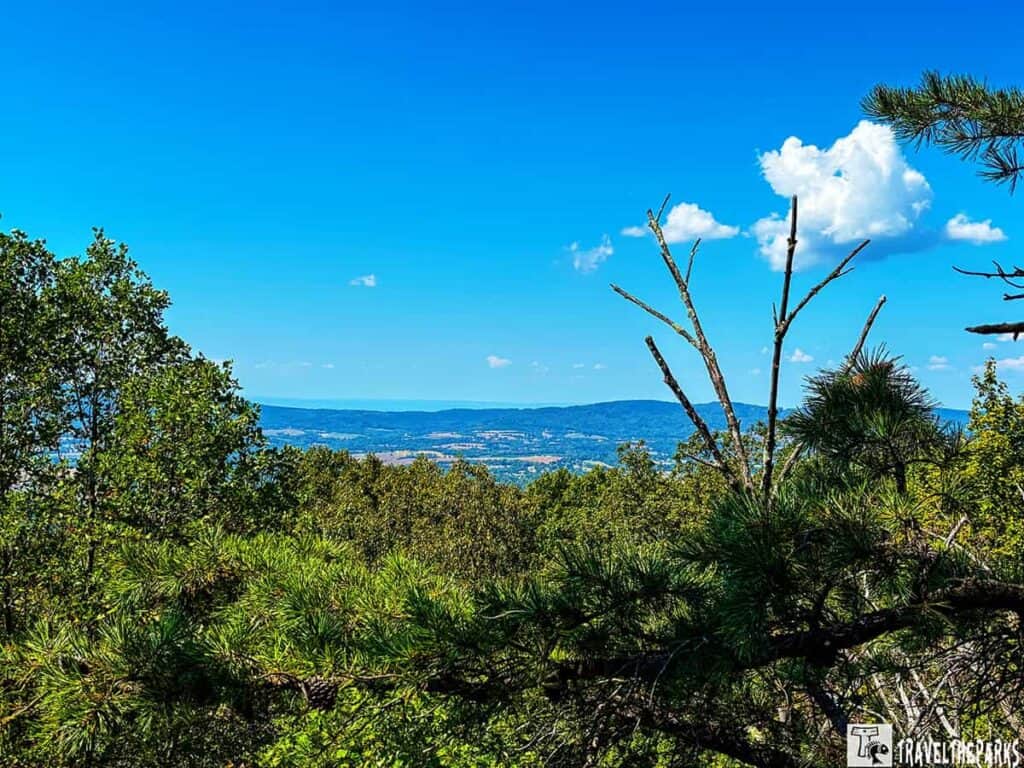
This one threads through the Mount Rogers National Recreation Area down in southwest Virginia, winding toward the state’s rooftop at 5,729 feet. Just below it, Grayson Highlands State Park offers something you don’t see every day—wild ponies grazing on open, treeless high-elevation balds with views that stretch forever. The real selling point? You get the mountain experience without the parade of out-of-state plates. No Skyline Drive traffic jams. No Blue Ridge Parkway congestion. Just high-country solitude and a road that feels like it’s yours for the afternoon.
Planning Your Scenic Road Trip in Virginia
- Timing. Fall colors peak from late September through October, but expect crowds and busy campgrounds—reserve early. Spring offers fewer visitors and beautiful redbuds and dogwoods. Winter closures can affect Skyline Drive and parts of the Parkway from November through March, so check conditions before visiting.
- Cell service. Mountain coverage is limited. Download offline maps before driving Virginia’s scenic routes.
- Where to stay. Shenandoah offers developed campgrounds along Skyline Drive. The Blue Ridge Parkway has eight NPS campgrounds, all dry camping with no hookups. For the Historic Triangle, Williamsburg provides the best selection of private RV parks.
- Clearances. Tall vehicle? The Virginia section of the Blue Ridge Parkway (mile 0–217) has no tunnels. Skyline Drive includes Marys Rock Tunnel with a 12’8″ clearance, so check your vehicle height first.
- Costs. Skyline Drive requires a Shenandoah National Park entrance fee. The Blue Ridge Parkway, Colonial Parkway, Journey Through Hallowed Ground, and George Washington Memorial Parkway are free with no tolls or passes.
- Connecting routes. Skyline Drive connects directly to the Blue Ridge Parkway at Rockfish Gap, creating about 220 miles of continuous mountain driving. The Historic Triangle is also close enough to Route 5’s plantations that many travelers combine both stops into one trip.
A few Virginia State Parks and campgrounds we keep going back to:
- We camped at Shenandoah River State Park last fall. It is one of our favorites. Clean sites, easy river access, good trails. They’ve got tent spots, cabins, and yurts if that’s your thing. Worth a look if you’re heading that way.
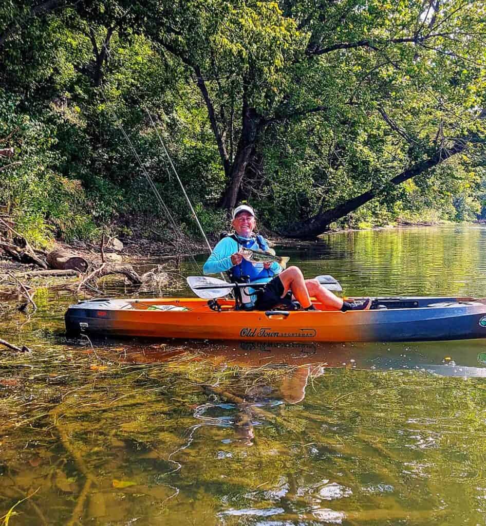
- Claytor Lake State Park: Great for boating and fishing. The lakeside sites are hard to beat.
- Natural Chimney Regional Park: Unique spot. Cool rock formations and nice hiking. Different from your typical park.
- Lake Anna State Park: Big lake, good swimming, and plenty of space. Popular for a reason.
- Holliday Lake State Park: Smaller and quieter. Tucked away but worth the drive if you want peace and quiet.
- Newport News Park & Campground: Huge, shaded, tons of trails, and close to historic sites. Solid choice for a weekend trip.
What to Pack for the Scenic Route
Lesson learned: the weather up in Virginia’s mountains does not care one bit about your itinerary. We were peeling off jackets at some sunny overlook one minute, then literally digging those same jackets back out of the trunk twenty minutes later as fog rolled over the Blue Ridge. So—pack like you’re prepping for all four seasons in a single afternoon. Quick-dry layers, something waterproof, and actual boots if there’s any chance you’ll hit a trail.
Also, heads up, cell service basically disappears once you’re on Skyline Drive. Download offline maps before you go, and honestly just grab the paper map at the visitor center too—belt and suspenders. We had a portable charger going pretty much the whole time between photos and navigation eating battery, plus we kept a flashlight, a basic first aid kit, and a refillable water bottle in the backseat just in case. Bug spray and sunscreen lived on the dashboard the entire trip.
One more thing—fill up your tank before you start the rural scenic routes. Gas stations get few and far between, and there’s nothing like watching your fuel gauge creep toward E with zero exits around to really ruin an otherwise nice drive.
Final Thoughts on Virginia Scenic Byways
Virginia’s scenic byways rewards the kind of trip where you’re not trying to get somewhere—you’re just driving to see what’s around the next bend. That’s true whether you’re on Skyline Drive watching the Shenandoah Valley spread out below you, or rolling along the aggregate surface of the Colonial Parkway between three towns that have been there for 400 years. Pick one or two of the byways above to anchor a trip, then build outward—most of these routes connect to something else worth seeing within an hour’s drive. Consider this your starting map. The rest is up to you.
Which Virginia scenic byway’s been on your list? Drop it below — I’m always looking for new roads to explore.