This is what makes a road trip special–sometimes you just come across a site simply because it is there, not because you planned it beforehand. We didn’t originally circle Stones River National Battlefield on our road trip map. But somehow we ended up here while driving through Murfreesboro on our way to Nashville.
Most Civil War battlefields tend to have a similar vibe–open fields, cannons, a sign explaining a charge, and another sign about a counter-charge.
this battlefield preserves the ground where one of the bloodiest conflicts of the Civil War unfolded in late 1862 and early 1863. It’s tied to the Battle of Stones River, where Union forces led by William Rosecrans clashed with Confederate troops under Braxton Bragg. But here’s the thing—you don’t need to be a Civil War expert to connect with this place.
This post may contain affiliate links, meaning if you purchase something through one of these links, we may earn a small commission at no extra cost to you! Read the full disclosure policy here.
Table of Contents
Stones River Visitor Center
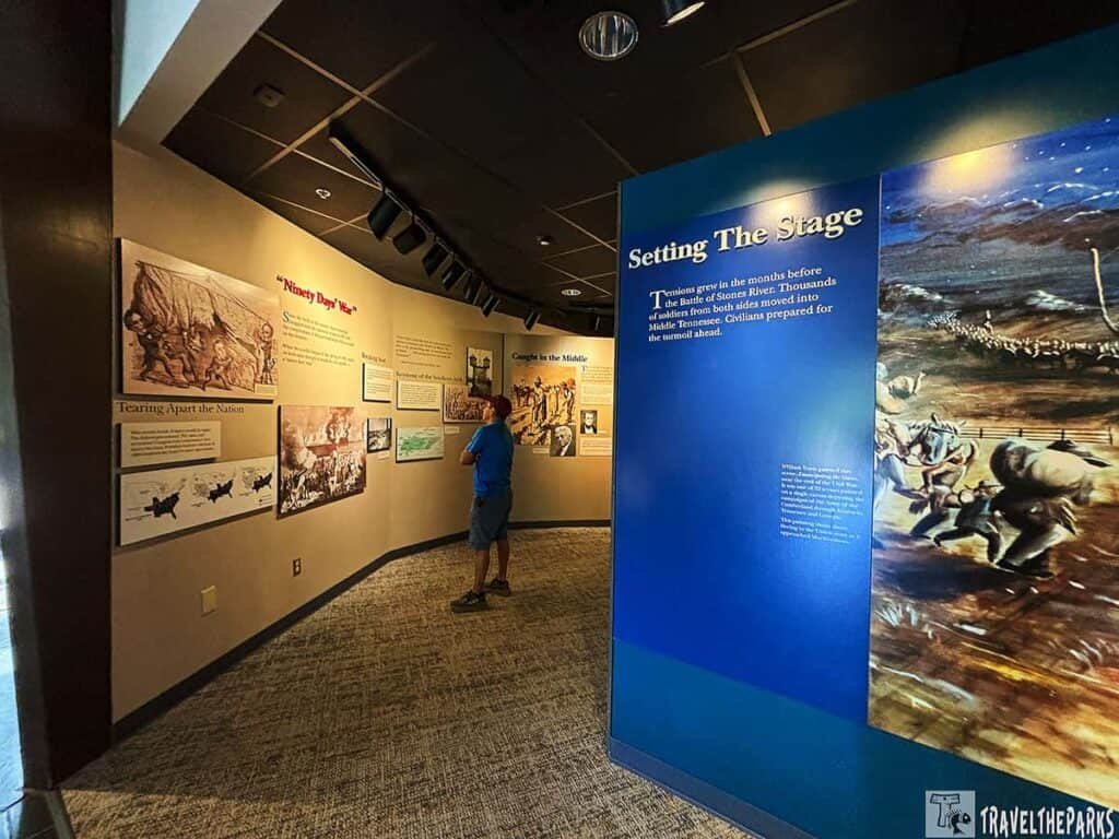
The visitor center is small. Not fancy. The kind of place where you can tell the rangers actually like their jobs, but aren’t trying to sell you anything. We grabbed a map. The ranger said the driving tour takes about an hour if you don’t get out much. Then he paused and said, “But most people get out.”
He was right.
The battlefield is spread out. Lots of open fields. Trees. A few cannons here and there. It doesn’t scream at you. It’s quiet. Almost too quiet for a place where nearly 25,000 men got shot, captured, or killed over three days.
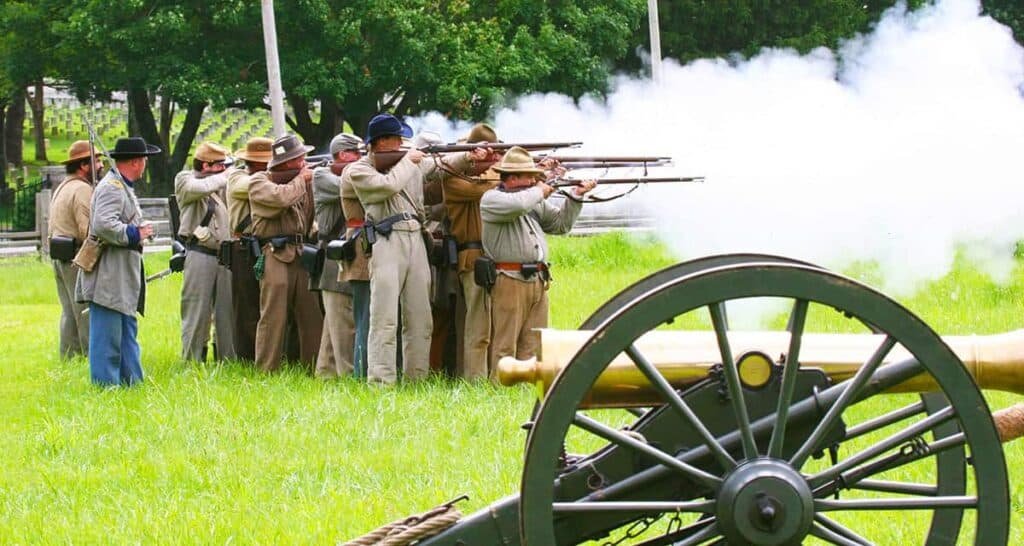
What Actually Happened: Stones River National Battlefield, Tennessee
I had to look up the details after we left because the visitor center film covered it, but my brain only catches about half of a documentary on the first watch. So here’s the simple version.
Late 1862. The Union army, commanded by Rosecrans, was moving southeast from Nashville. The Confederate army under Bragg was waiting near Murfreesboro. Fighting unfolded from December 31, 1862 through January 2, 1863. Really bloody. Back and forth. At one point, the Union line bent almost to breaking. But they held.
On January 2, the Confederates launched a final attack across an open field. They were cut to pieces by Union artillery. That was pretty much it. Bragg pulled back. Rosecrans claimed victory. Not a huge win, but an important one for the Union. Tennessee remained under Federal control for the rest of the war.
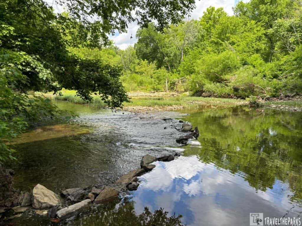
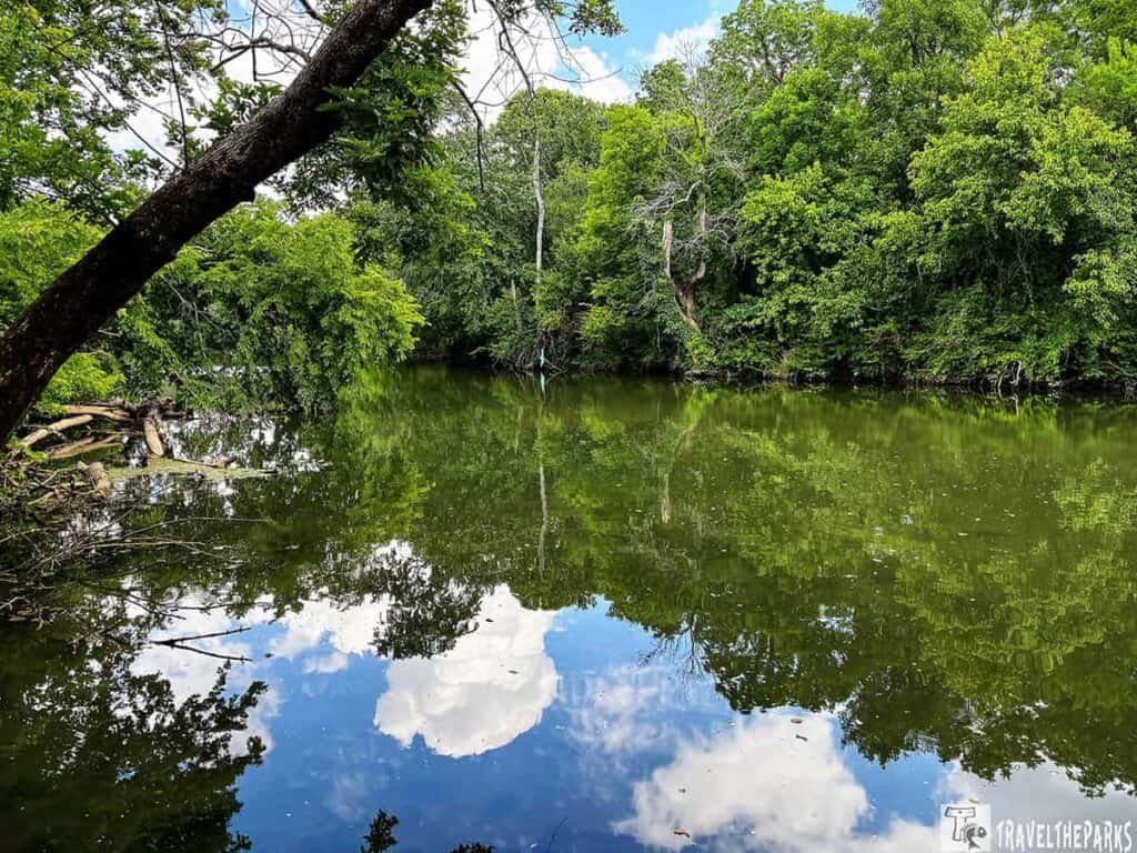
The name “Stones River” comes from the river that runs through the park. Not much to look at now. But back then, it was a dividing line. The fighting happened on both sides.
Stones River National Battlefield — Self-Guided Tour
Murfreesboro, Tennessee · Allow 2–3 hours
The route loops through six marked stops, all one-way. Before you pull out of the parking lot, head inside the visitor center and grab a paper map—the cell signal can get spotty out on the field, and you’ll want something you can fold open on your dashboard. When you arrive at each marker, you’ll notice a phone number posted for an on-demand audio program. Don’t skip it—take a moment to call in and hear the stories before you step onto the ground. The narration has a way of shifting your perspective, making the fields and woods feel entirely different once you know what happened there.
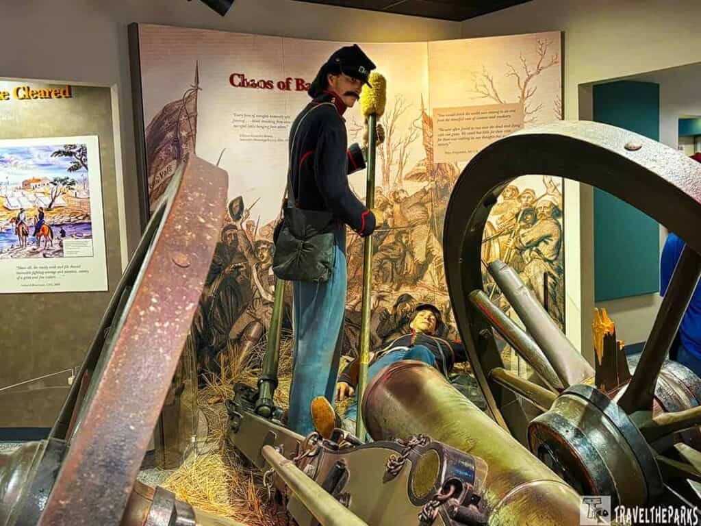
Start: Visitor Center & Museum
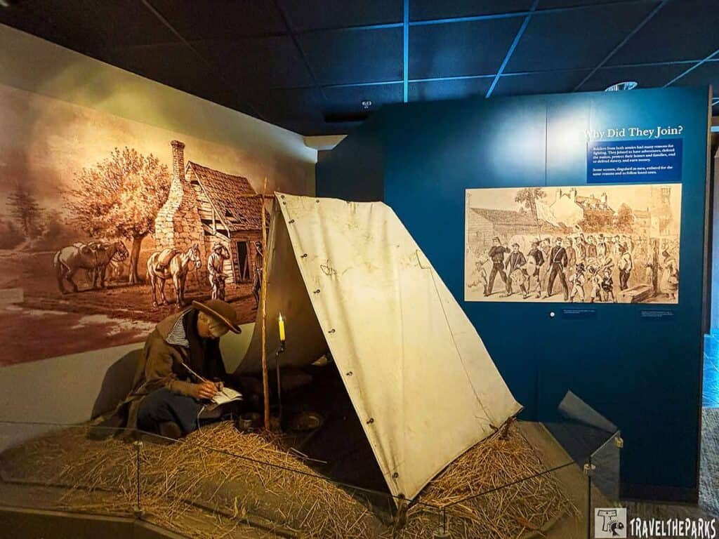
Grab your map and spend a few minutes in the museum—it’s worth the time. The exhibits walk you through why this battle wasn’t just another skirmish: Lincoln needed a win by late 1862, and Middle Tennessee was both a military crossroads and a symbolic prize. You’ll also meet the two commanders, Rosecrans and Bragg, who personally loathed each other—and that mutual hatred shows up in the decisions they made. The model of the battlefield is probably the most useful thing in the room; it makes it obvious how much of the historic site now sits underneath strip malls and subdivisions. We did the driving tour and got out at all the stops. Budget about half an hour here before you head out to the first driving stop.
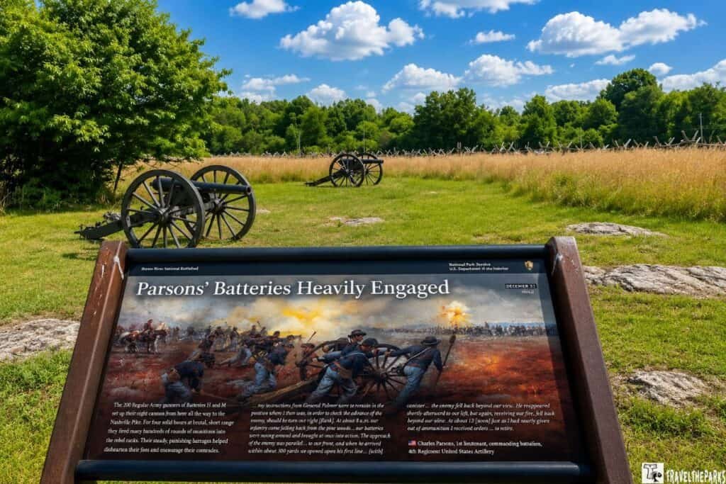
Stop 1: The Eve of Battle
On the night of December 30, 1862, the two armies camped so close to each other that their regimental bands could hear one another across the dark fields. By some accounts the musicians traded songs back and forth before eventually landing on “Home Sweet Home,” which both sides apparently knew and wanted to hear. The following morning would produce one of the bloodiest single days of the entire war. This stop sets the scene—open cedar forest and farmland that looked much the same to the men huddled around fires that night, wondering what dawn would bring.
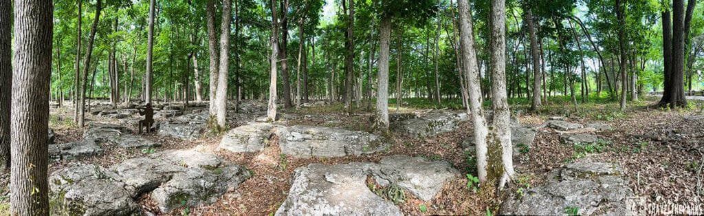
Stop 2: The Slaughter Pen
This is the one that stuck with me was the Slaughter Pen. That’s the actual name they gave it. Not subtle. The name was given by the soldiers themselves, and it earned it. You stand there and look at the terrain and think, “How did anyone make it across that?” Answer: A lot of them didn’t.
It’s this rocky area where Confederates attacked Union positions. On the morning of December 31, Confederate forces under General William Hardee smashed into the Union right flank with the intention of folding the entire Federal line back on itself and cutting off the Nashville Pike—the only road by which Rosecrans could retreat or resupply. The fighting here was close, brutal, and fast. Union brigades were shattered in sequence as the Confederate attack rolled northward. The cedars that still stand in this area provided cover but also made unit cohesion nearly impossible. Walk the trail here if you can—the ground itself, the density of the trees and the broken terrain, tells the story better than any text panel.
Stop 3: The Cotton Field
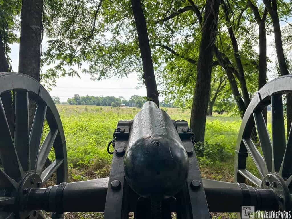
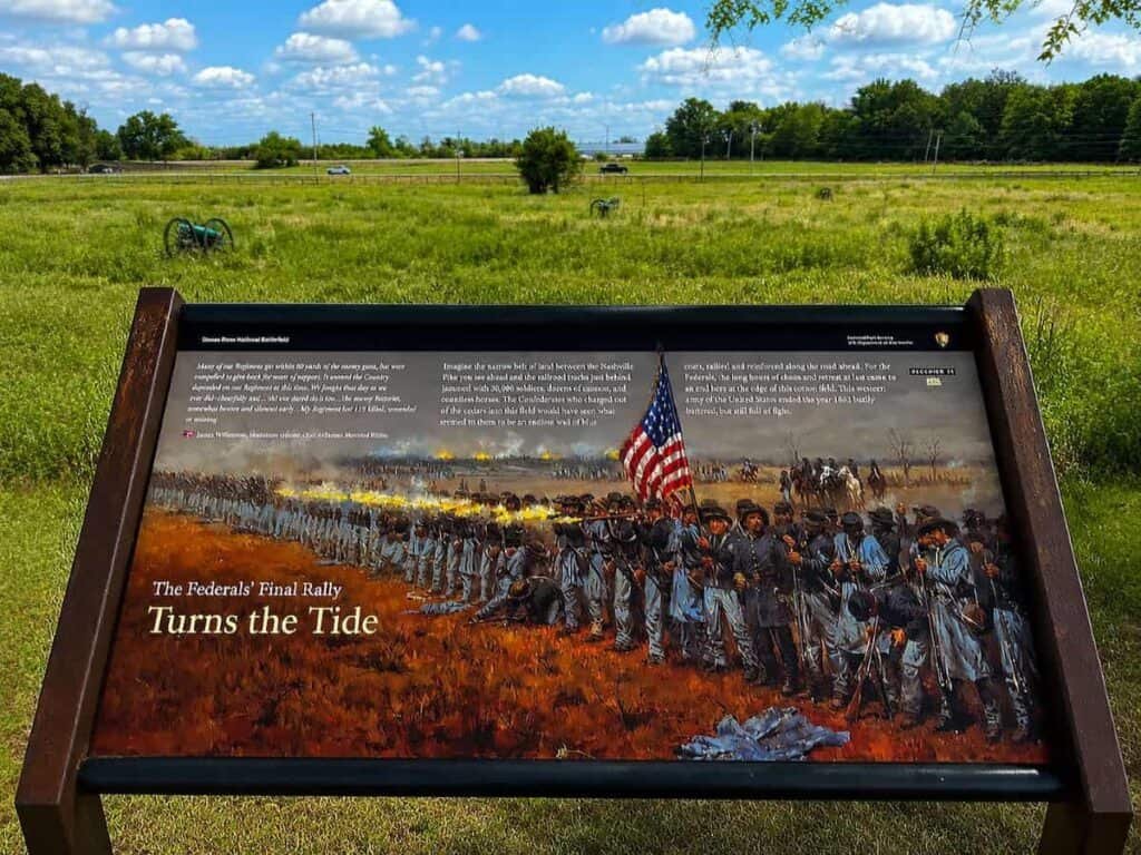
After the Slaughter Pen, the Confederates pushed through the cedars and came out into an open cotton field—dormant, harvested, useless as cover. Rosecrans had used the delay to haul more than thirty cannon onto the high ground near the Nashville Pike. When Bragg’s brigades stepped out of the trees, those guns opened up from end to end. A Texas soldier wrote that it felt like the sky and the earth colliding at once. General James Rains got hit before he’d taken ten steps into the field. Successive waves tried to cross—larger each time, stopped each time. This is where the Confederate attack died. Stand at the tree line and look out. You can see exactly why. Open ground, short distance, no cover. Nothing else to say.
Stop 4: Defending the Nashville Pike
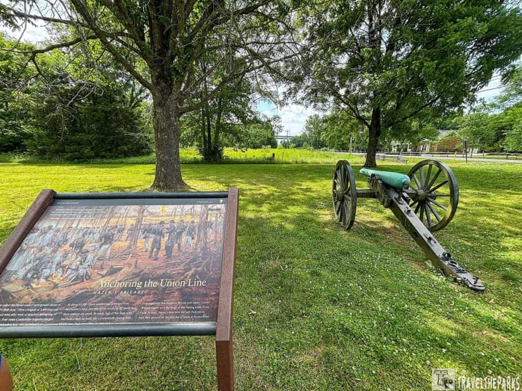
As the Confederate assault pushed north and east through the morning, the Union situation became desperate. Rosecrans refused to order a retreat. He rode along the collapsing lines personally, at times under direct fire, trying to hold his army together. The Nashville Pike had to be held—lose it and the entire Army of the Cumberland was cut off in hostile territory with no line of supply or escape. Federal units from the relatively quiet left flank were pulled south to plug the gaps, and by midday a ragged but stubborn Union line had formed. The Confederates had driven Rosecrans back nearly two miles but could not deliver the killing blow. This stop captures the moment the tide began, slowly, to turn.
Stop 5: The Round Forest (Hell’s Half Acre)
Four acres of cedar and limestone, wedged between the pike and the railroad. While the rest of the Union line collapsed that morning, this spot never gave. Colonel William Hazen’s brigade held off four Confederate attacks—the only point on the line that didn’t break.
Look at the ground. The Union right had folded northward like a pocketknife, and the Round Forest was the hinge—the fixed point holding the army together. If Hazen’s men had fallen, the Union splits in two.
The Confederates knew it. They kept coming across the open field. After one assault, a survivor from the 32nd Alabama wrote that his regiment went in with 280 men and came out with 58. The men called it Hell’s Half Acre. The name stuck.
Hazen Brigade Monument
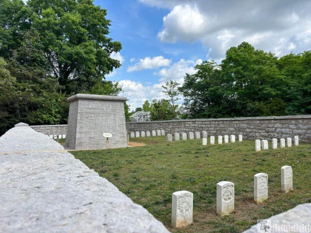
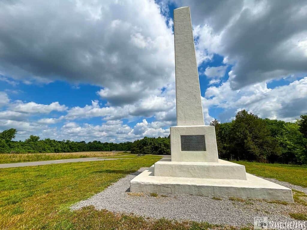
We also walked the short trail to the Hazen Brigade Monument—the oldest Civil War monument still standing in its original spot. It was erected while the war raged on. The south face reads: “Their faces towards Heaven, their feet to the foe.” Two stonecutters from the regiment carved it in 1864. It’s just a little stone marker. But something about knowing the guys who fought there built it themselves gets to you.
My partner, Barry, said, “Can you imagine surviving that and then sticking around to stack rocks about it?” I laughed. But it’s kind of amazing when you think about it.
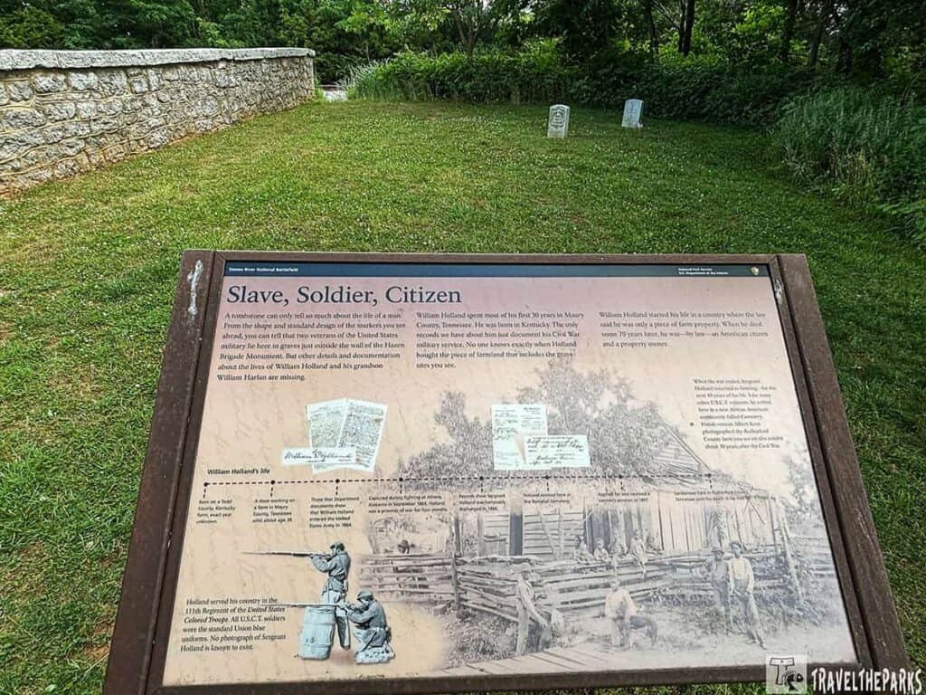
Just outside the wall lie two graves—William Holland, formerly enslaved, a Union veteran who later worked at the national cemetery, and his grandson William Harlan, who served in WWI. Both have government headstones.
Stop 6: McFadden Farm & the January 2nd Assault
January 1st was quiet. January 2nd was not.
That afternoon, Bragg ordered an attack on a Union position perched on a low rise east of the river. Confederate General John Breckinridge pushed back—he could see the hill was a trap, with Rosecrans already massing artillery on the opposite bank. Bragg overruled him.
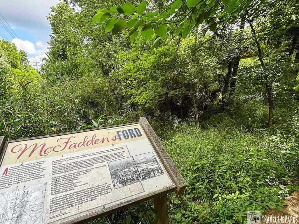
Breckinridge’s men went forward anyway. They took the hill. Briefly. Then the Union guns across the river opened up and tore them apart. In under an hour, Breckinridge lost nearly a third of his division. Two days later, Bragg pulled back south toward Tullahoma. Rosecrans took Murfreesboro.
The McFadden Farm preserves the ground where that final gamble played out. Stand here and look toward the river—you can still see why Breckinridge knew it was a mistake.
The National Cemetery
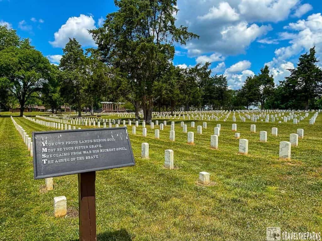
There’s a national cemetery on the battlefield. About 6,000 Union soldiers buried there. Half of them are unknown.
We walked through quietly. Not in a sad, dramatic way. Just respectfully. The headstones are small and white. Neat rows. Some have names. Some just say “Unknown U.S. Soldier.” It’s peaceful now. Hard to believe the ground was a mess of mud and blood 160 years ago.
Walking Around the Other Battlefield Sites
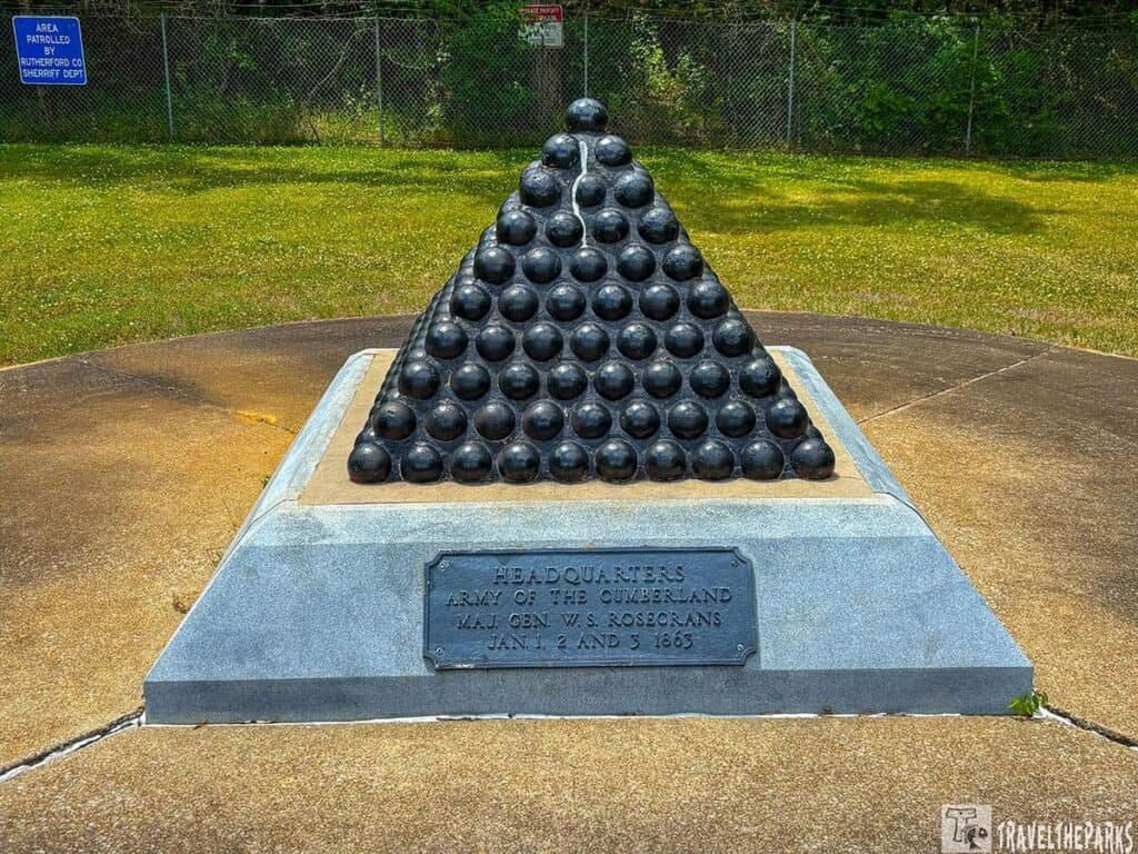
Rosecrans’ HQ monument sits off Old Nashville Highway, about half a mile west of the main field. It’s a cannonball pyramid on a granite base. That’s it. Later research suggests the actual headquarters was probably in the rock quarry next door—the War Department built the monument in the 1930s based on guesswork. Our last stop and it was a quick one. Not much else there.
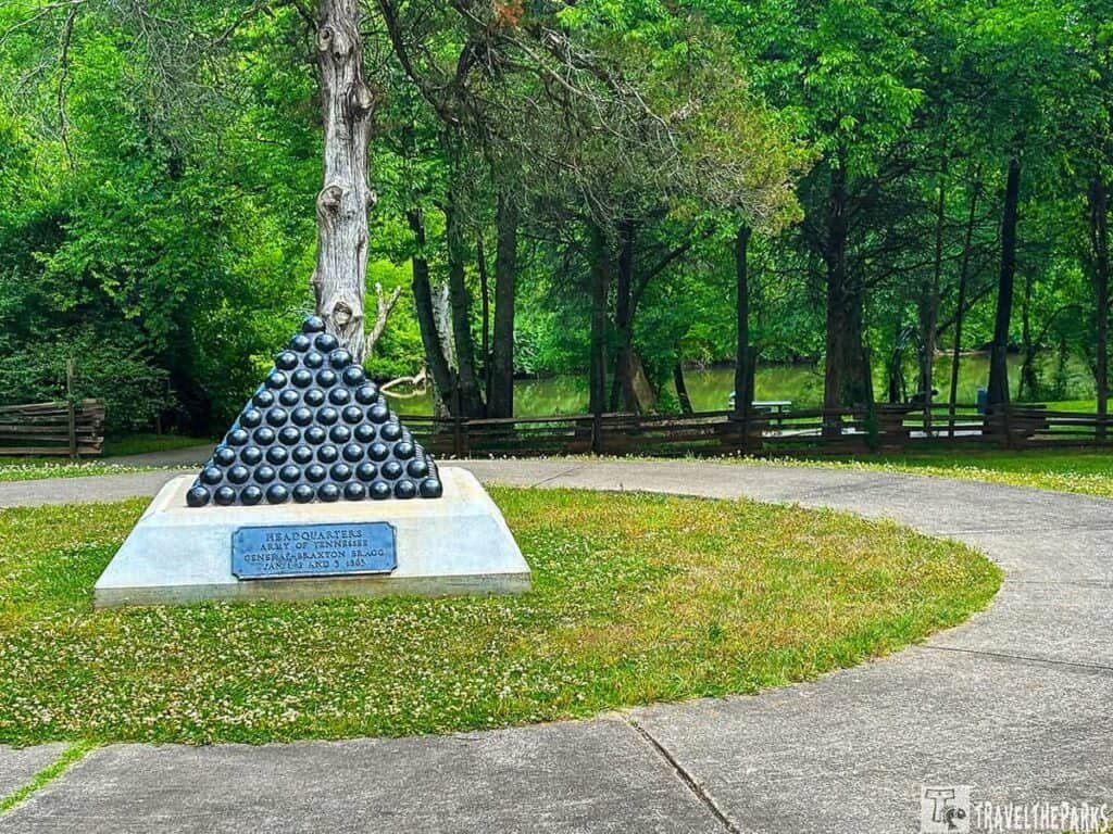
Bragg’s HQ was about a mile and a half southeast of the main battlefield, set up after the first day’s fighting. He ran things from here January 1–3, 1863. A small cannonball pyramid marks the spot today, along with a fence and a sign. It’s a quick stop—not much left to see, but it’s where Bragg overruled Breckinridge and ordered that disastrous attack on January 2.
Fortress Rosecrans — Curtain Wall No. 2, Lunettes Thomas and Palmer, and Redoubt Brannan
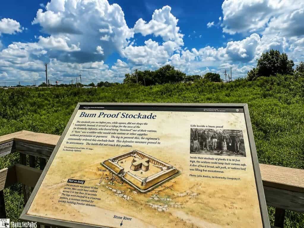
After the Confederates pulled out in January 1863, Rosecrans put his army to work building the largest earthen fort of the entire war. Brigadier General James St. Clair Morton designed it. Rotating shifts of up to four thousand men built it. In six months, they’d thrown up nearly three miles of earthworks enclosing roughly 225 acres—ten crescent-shaped lunettes open at the rear, plus four fully enclosed redoubts. The fort could hold fifty thousand troops and stockpile ninety days’ worth of supplies. The Confederates never attacked it.
Of the original complex, only three pieces survive on public land:
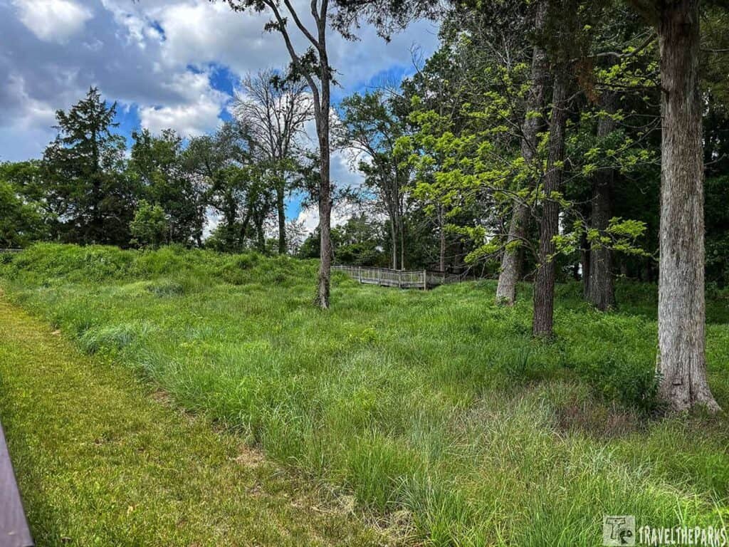
Curtain Wall No. 2 connects Lunette Thomas and Lunette Palmer—named for Union corps commanders George Thomas (the “Rock of Chickamauga”) and John Palmer. Stand on the parapet and you can still see about 1,400 feet of continuous wall. It gives you a real feel for the scale — warehouses, sawmills, powder magazines, blockhouses, all once enclosed behind these embankments. One Wisconsin soldier wrote that the works were said to be the strongest in the world outside of somewhere in Russia. Looking at what’s left, you can believe it.
Redoubt Brannan sits separately along Old Nashville Pike, named for Brigadier General John Brannan, an 1841 West Point grad who led a division under Rosecrans. Unlike the lunettes, a redoubt was fully enclosed — heavy guns could fire in any direction, even back into the fort if the outer walls fell. The four redoubts were last-ditch strongpoints.
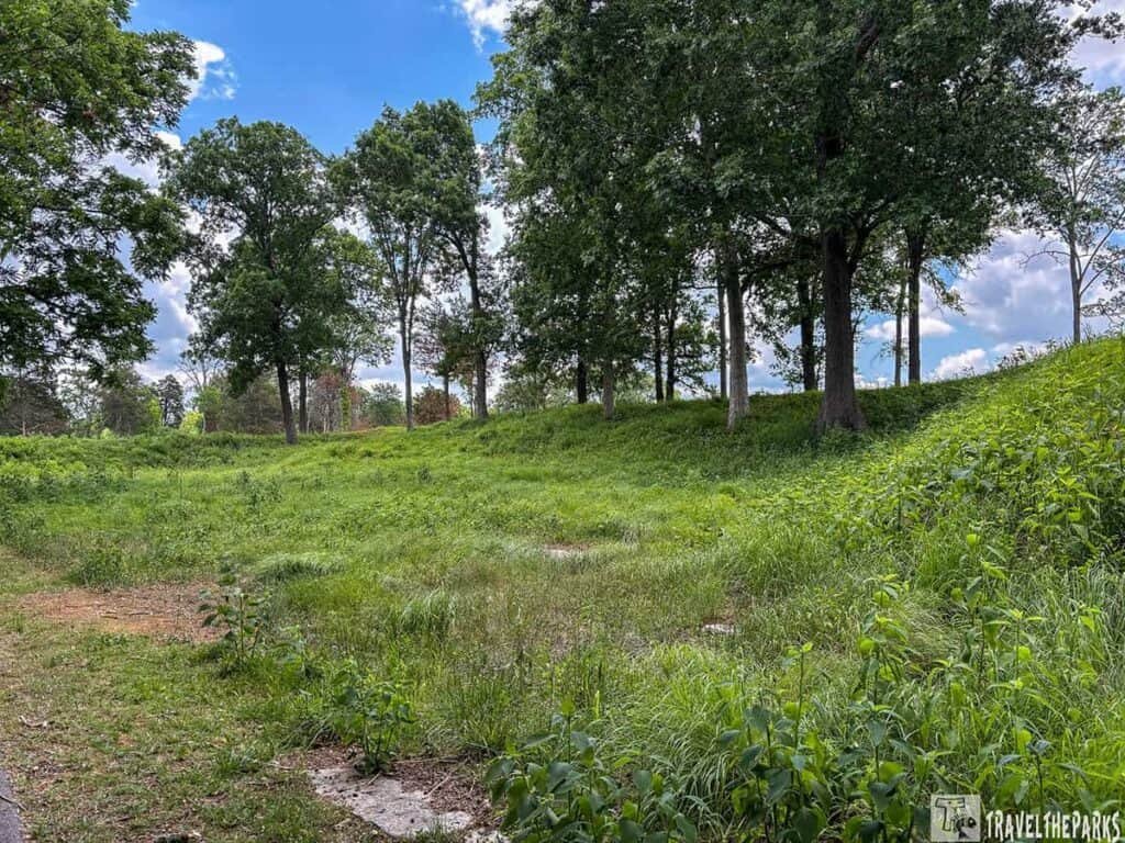
All three sites link up via the Stones River Greenway, a 3.2-mile trail that lets you walk between them and actually feel the distances. The Park Service has planted native grasses to hold the earthen walls in place—same way the original sod did back in ’63.
Essential Information: Stones River battlefield road trip
- Hours: The visitor center is open daily from 9 AM to 4:30 PM (verify seasonally on the NPS website). Closed Thanksgiving, Christmas, and New Year’s Day. The battlefield itself is open from sunrise to sunset.
- Cost: Free. No entrance fee. That was a pleasant surprise.
- Time needed: Two to three hours easily if you do the driving tour and get out at a few stops.
- Driving tour: 2.5 miles if you just drive, but you’ll want to park and walk at the Slaughter Pen and Hazen Monument.
- Trails: : Hiking trails available. Nothing too strenuous. We did a short one and saw a deer.
- Restrooms: At the visitor center. Plan accordingly.
- Bug spray: We went in late spring. The gnats were annoying. Bring it.
- Audio tour: Download the NPS app before you go. We didn’t. Wish we had.
Final Thoughts: Stones River Battlefield Road Trip
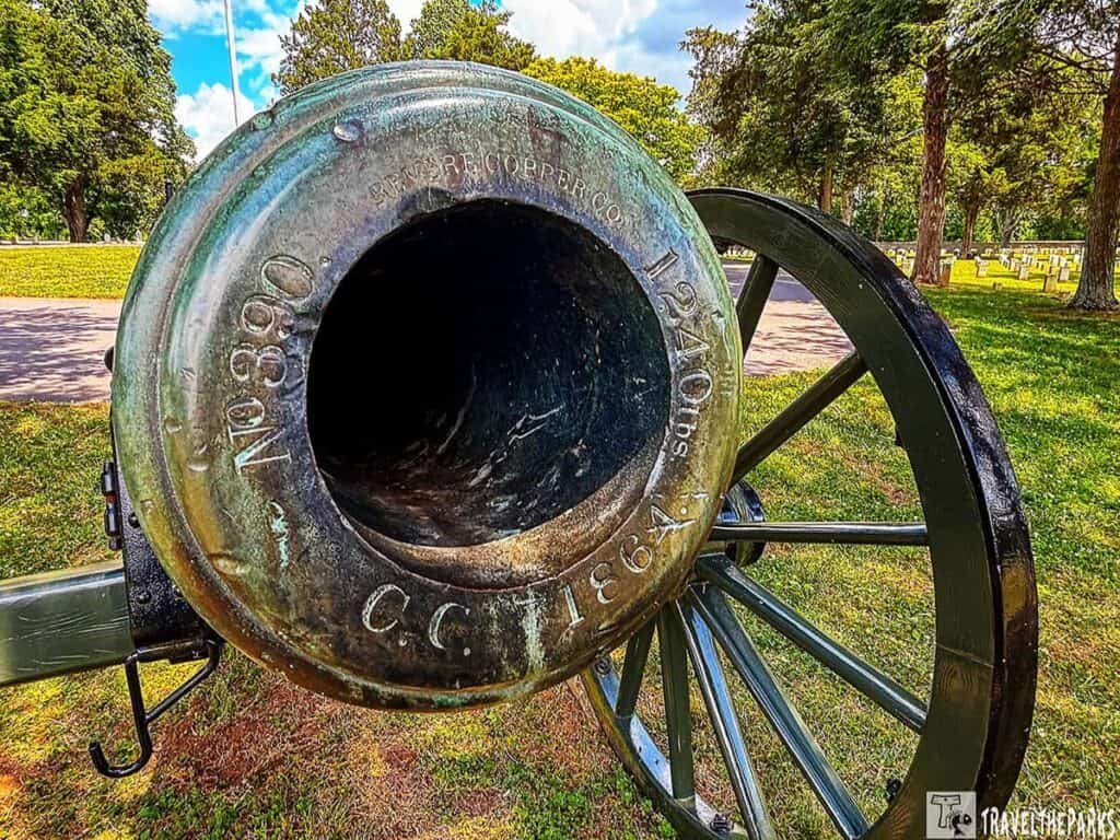
We’re not battlefield people. Or we didn’t think we were. But Stones River changed that a little. Not because it was dramatic. It wasn’t. It was just… real. Quiet fields. Old cannons. A cemetery full of unknowns. And that little stone monument built by soldiers who lived through it.
You don’t have to be a history nerd to get something out of this place. You just have to walk around and let it sit with you.
We got back in the car and drove south. Didn’t say much for a few miles. Not because we were sad. Just thinking.
If you’re driving through Middle Tennessee and you have a couple of hours, pull off at Stones River. Walk the Slaughter Pen. Stand by the monument. Read a few headstones. Then go find lunch.
Have you visited Stones River or another Civil War site that surprised you? Drop it in the comments—we’re always looking for the next unexpected stop.